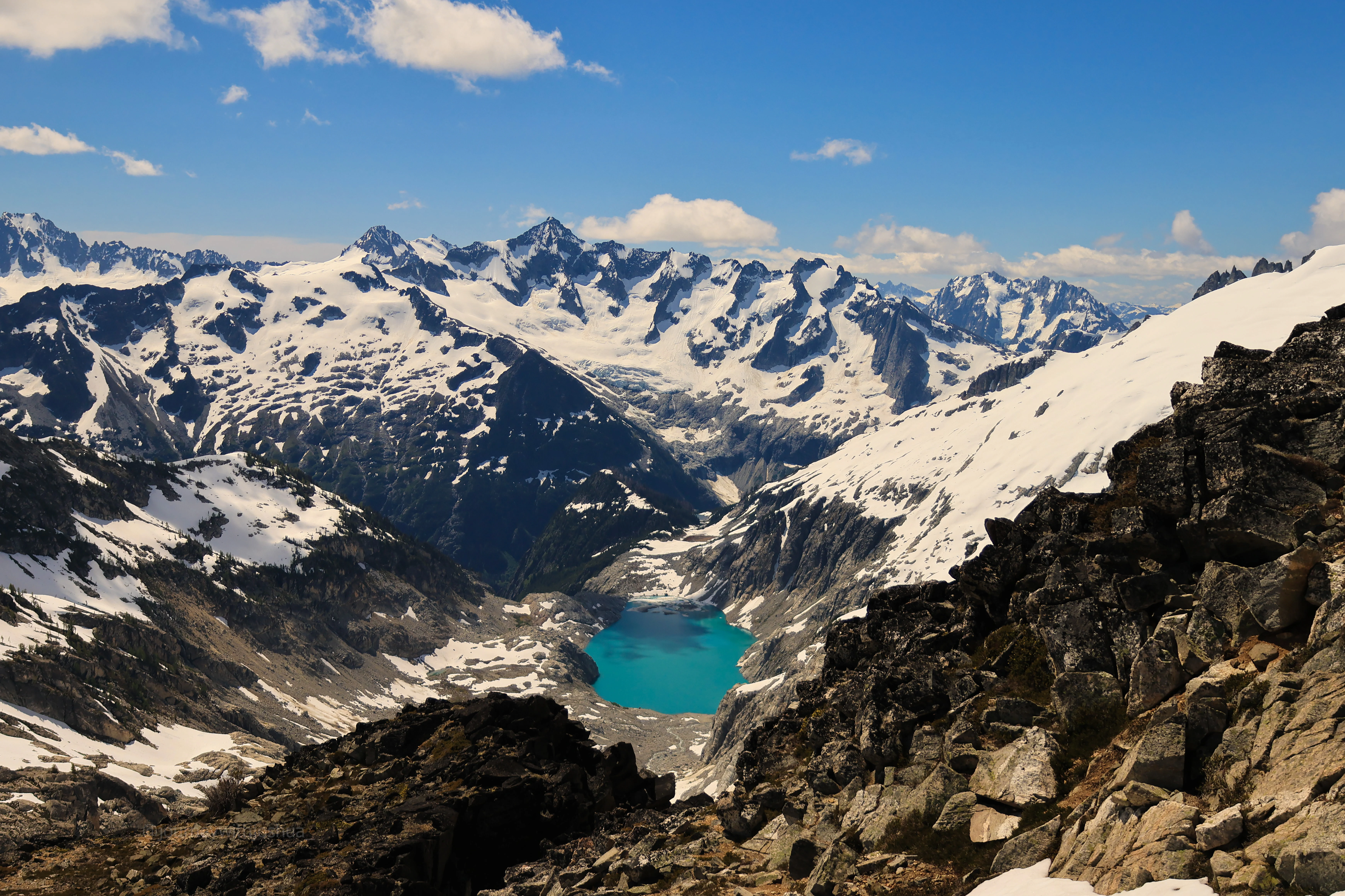
June 21, 2026 · North Cascades National Park, Washington
Primus Peak: Summer Solstice on the Borealis Glacier
A remote glacier climb deep in the North Cascades, up the Borealis Glacier to the summit of Primus Peak via the Thunder Creek approach.
- Distance
- 25.84 mi
- Elev. Gain
- 10,012 ft
- Time
- 52.5 hr
- Coords
- 48.5821° N, 121.0920° W
GPS track for route beta. Conditions change constantly, so verify your route and navigate at your own risk.
An unhurried three-day climb deep into the Klawatti Zone of the North Cascades backcountry. Primus is remote and rarely climbed, and there’s good reason why: a raging Thunder Creek crossing, a steep off-trail grind, and devil’s club bushwhacking for days. The payoff is the Borealis Glacier and a summit hardly anyone has seen. We timed it for the summer solstice, the longest days of the year, which buys you endless daylight for a big remote objective. The flip side is the heat down in the valley, which at least made the cold Thunder Creek crossing feel pretty good.
June 19 to 21, 2026
Beta
- Route: Thunder Creek approach to a high camp above Borealis Lake, then the Borealis Glacier up to Lucky Pass and up the south side of Primus. It’s glacier travel with some steep snow and a chossy little scramble to finish. We didn’t need crampons in our window.
- Permit: Klawatti Zone out of the Marblemount Ranger Station. We just grabbed ours as a walk-up that morning around 0700. It worked out, but it’s a small quota, so it’s worth having a backup plan.
- Parking: Colonial Creek Campground on the Thunder Creek Trail. The rangers took down our plates. You’ll want an America the Beautiful pass.
- The crossing: Thunder Creek at the log jam, and it’s in right now. I went barefoot with a stick and got across just fine around 1100. Try to go early, before the afternoon snowmelt cranks the flow up.
- Glacier: The crevasses are opening up, both vertical and horizontal, and a few are already pretty wide. They were easy to see and read while we were up there. Moats are forming anywhere the snow is melting off the rock. We just stayed center, above the cliff bands, and nobody punched through.
- Camp: Tons of good bivy sites on the cliffs above Borealis Lake, with running water in a few spots. It was windy both nights (15 to 25 mph), so build a little wall or tuck into a snow dip.
- Gear: Two 30m ropes for the five of us, ice axe, glacier kit, and three Ursacks for food. We left the crampons in the pack, but I’d still bring them since conditions change fast up here.
- Bugs: They found us the second we crossed the river. We all got dozens of bites, and the citronella oil helped a lot.
Permit and Getting There
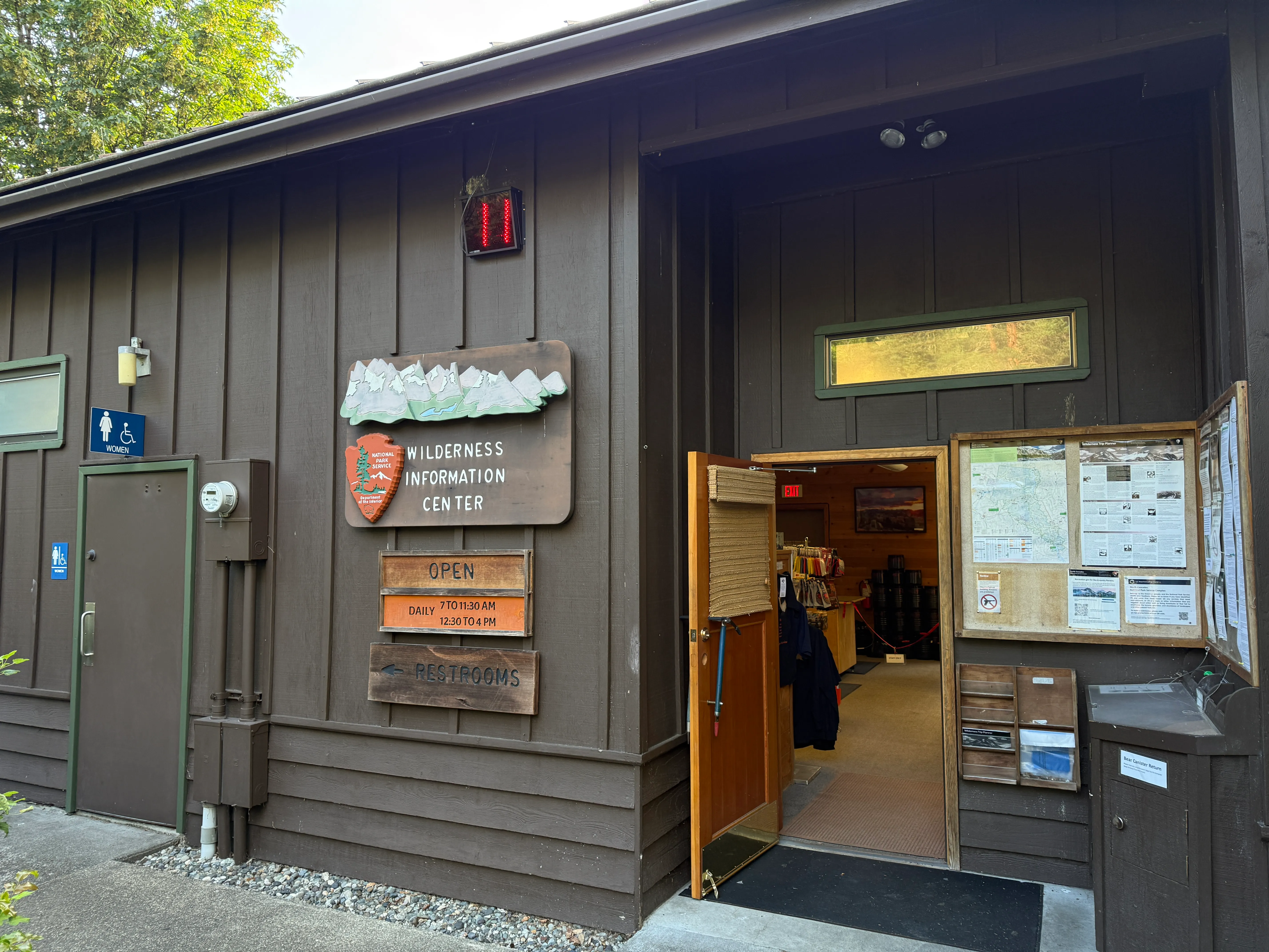
Marblemount Ranger Station. First stop for the Klawatti Zone walk-up permit
We got to the Marblemount Ranger Station around 0645 to snag a walk-up permit for the Klawatti Zone. Given how remote and rarely climbed Primus is, we figured we had a good shot at the walk-up, and we did. Another party was heading into the zone too. The rangers were honest that they had no current beta on the Thunder Creek crossing or the log jam, and they weren’t sure the route would even go. We respected the caution, but we’d done our homework off a recent Mountaineers trip report and felt confident the crossing was in. We stuck with the plan. Heads up if you’re planning this one: the zone quota is small, so have a backup objective in case the walk-up doesn’t come through.
We rolled up packed and ready at Colonial Creek Campground, where the rangers told us to park. You’ll want an America the Beautiful pass on the dash. I chugged the last of an electrolyte drink, smashed a few gas station calories, tightened my pack straps, and we triple-checked we had all the team glacier gear before heading for the Thunder Creek trailhead.
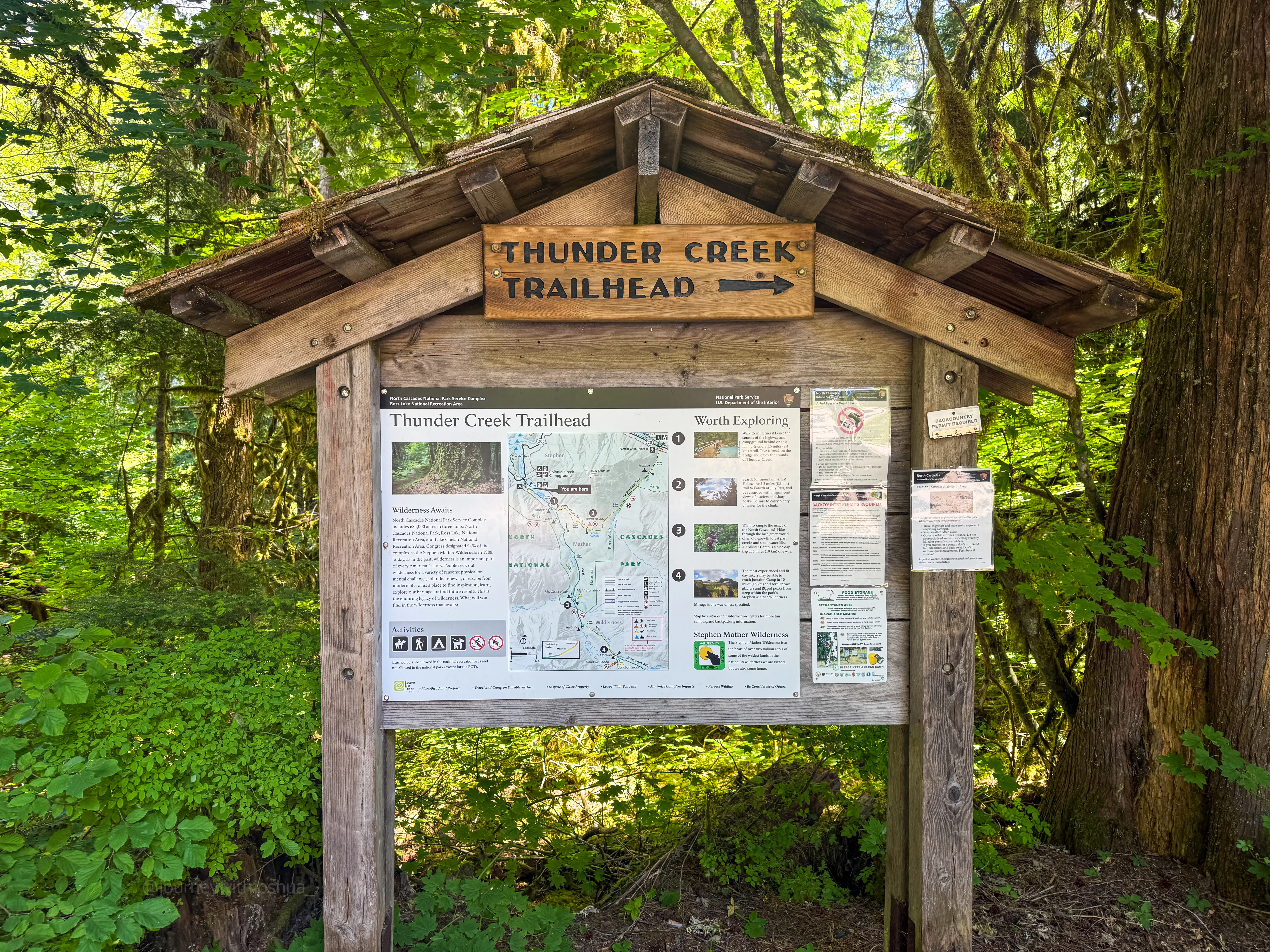
The Thunder Creek trailhead, where it all kicks off
The Approach

Starting the journey. First bridge out of Colonial Creek
Take note: there’s a cougar spotted in the area. We started at around 1,200 ft from the lot, with about 6 miles and ~600 ft of gain to Camp McAllister. On the way we passed a few piles of fresh bear scat. This is an active wildlife corridor, so come prepared and store your food right (more on that at camp). Around 5 miles in, we got our first look at Tricouni and Primus. Amazing.
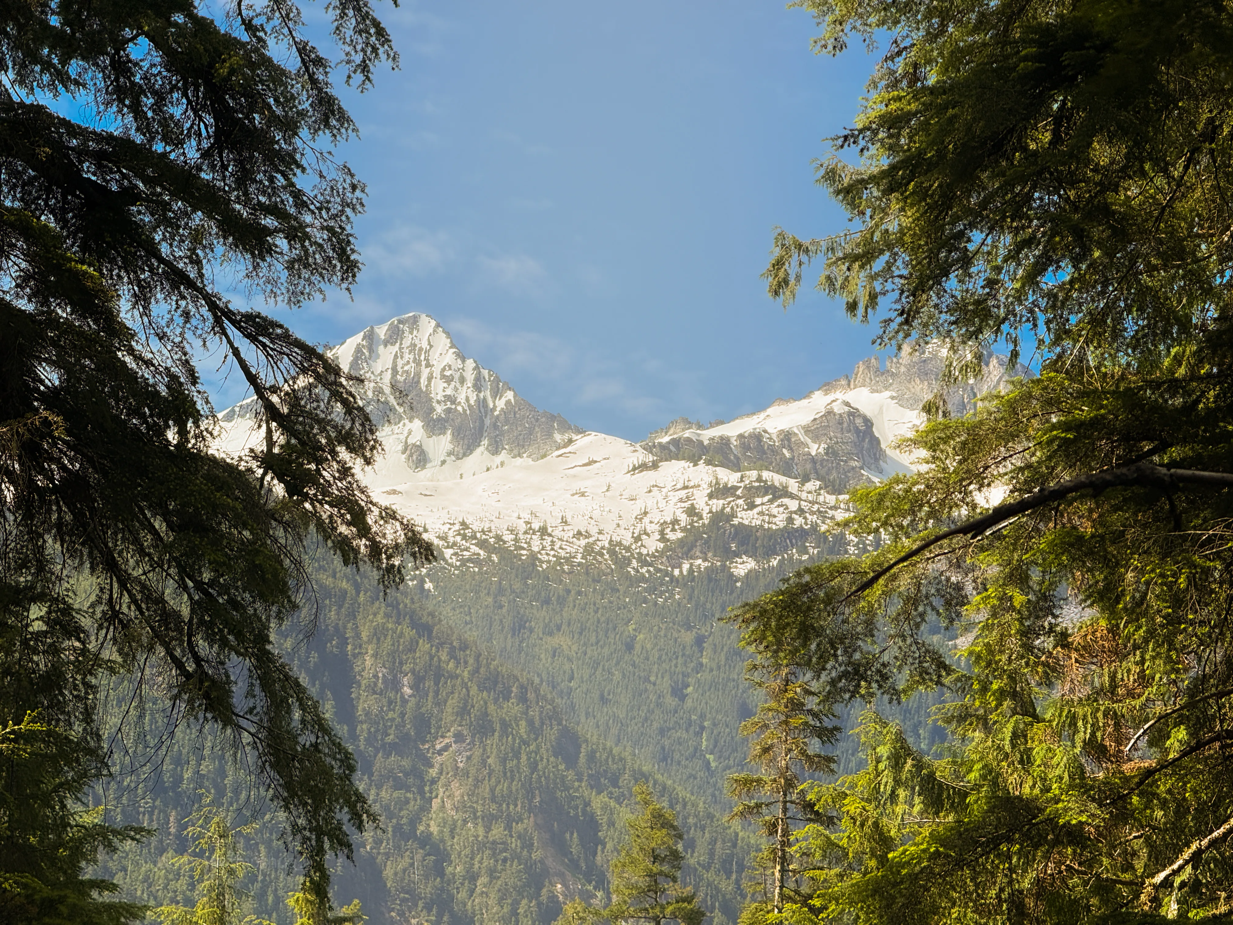
First look at Tricouni and Primus, about 5 miles in and still short of McAllister
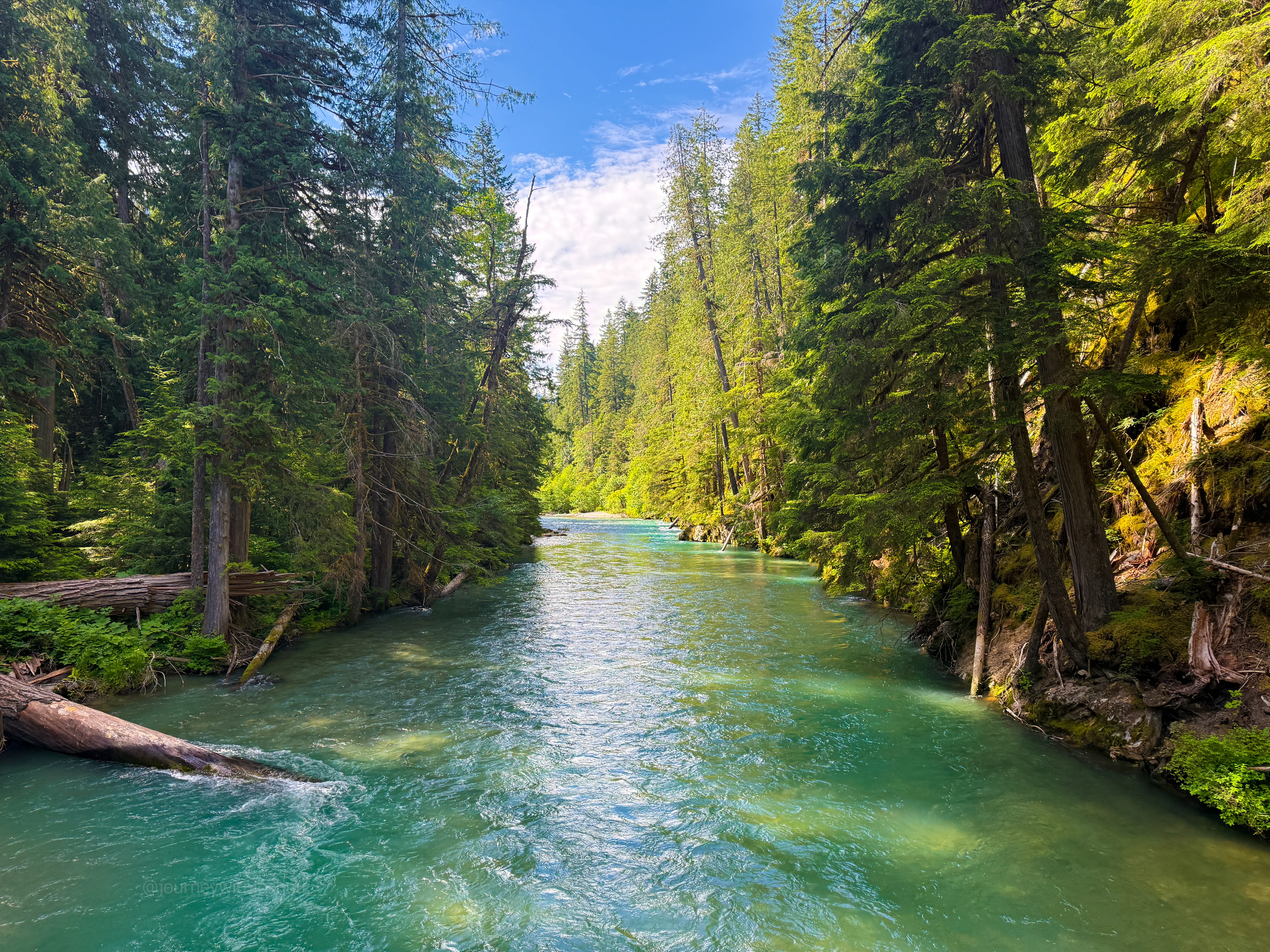
One of the Thunder Creek bridges on the way in
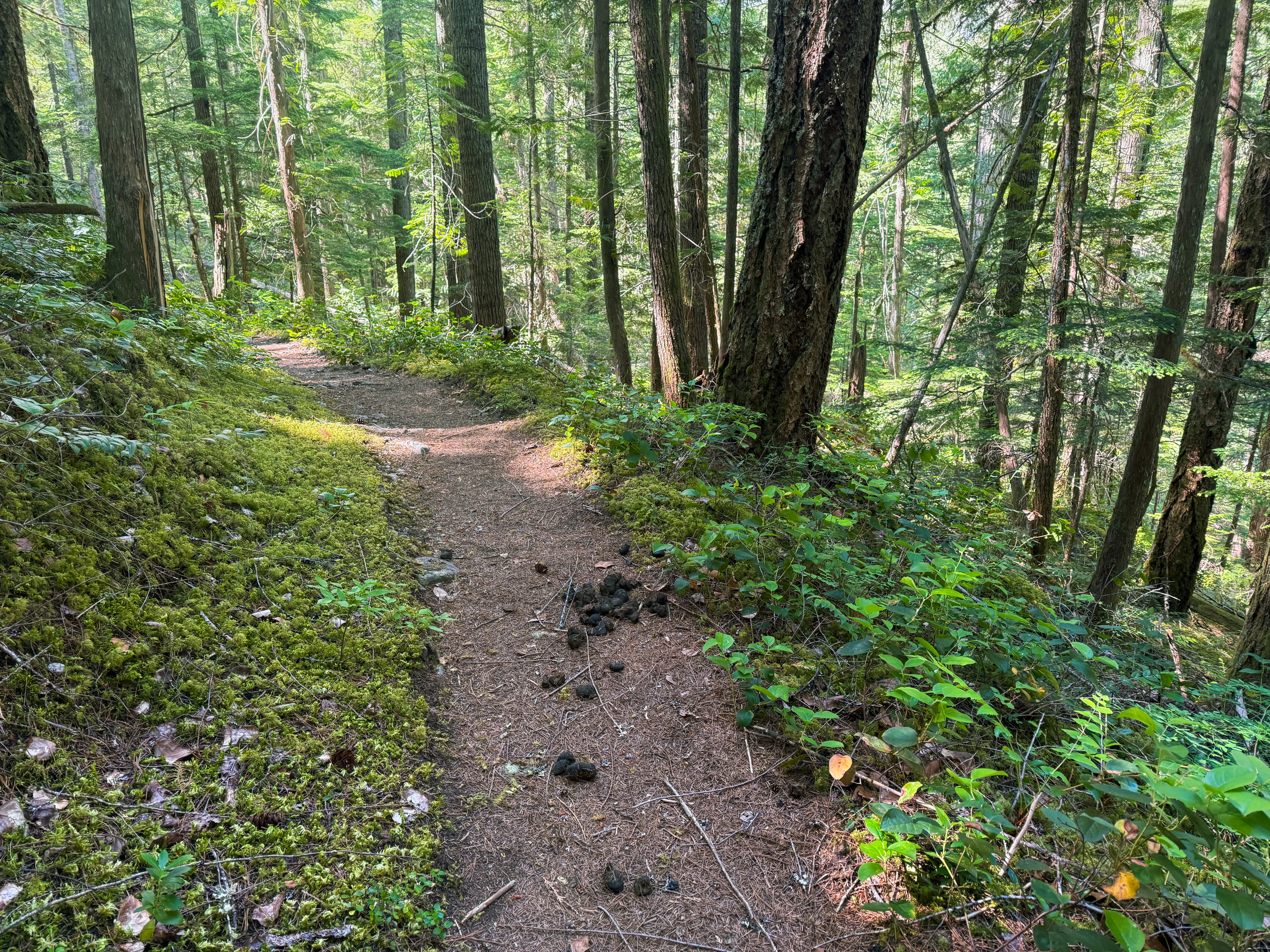
One of several fresh piles of bear scat on the way in. Active wildlife country
We reached Camp McAllister and its rather nice camp toilets around 1100. This is your last shot at a non-packed-out number two, so take advantage if you need to.
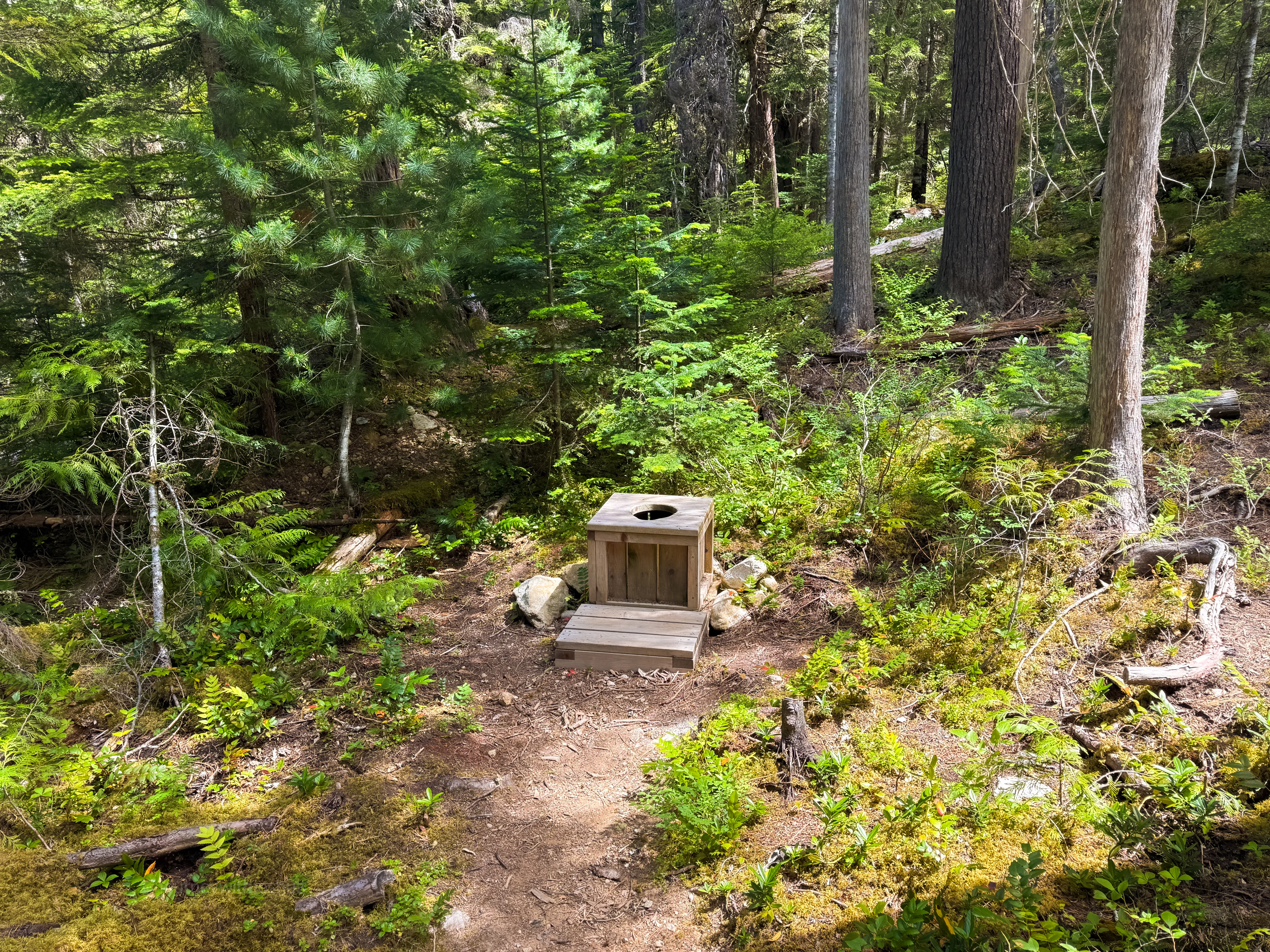
The McAllister throne, ready to go. Your last non-packed-out option
The Creek Crossing
From McAllister we continued another half mile until the GPX showed a steep 50 ft drop on a social trail down toward Thunder Creek. This was it. We found a couple of paths down to flat ground and worked over toward the river, balancing across logs and bushwhacking through devil’s club. I knocked a few branches off a log on the way down, which actually made one crossing easier, so it’s a touch friendlier now.
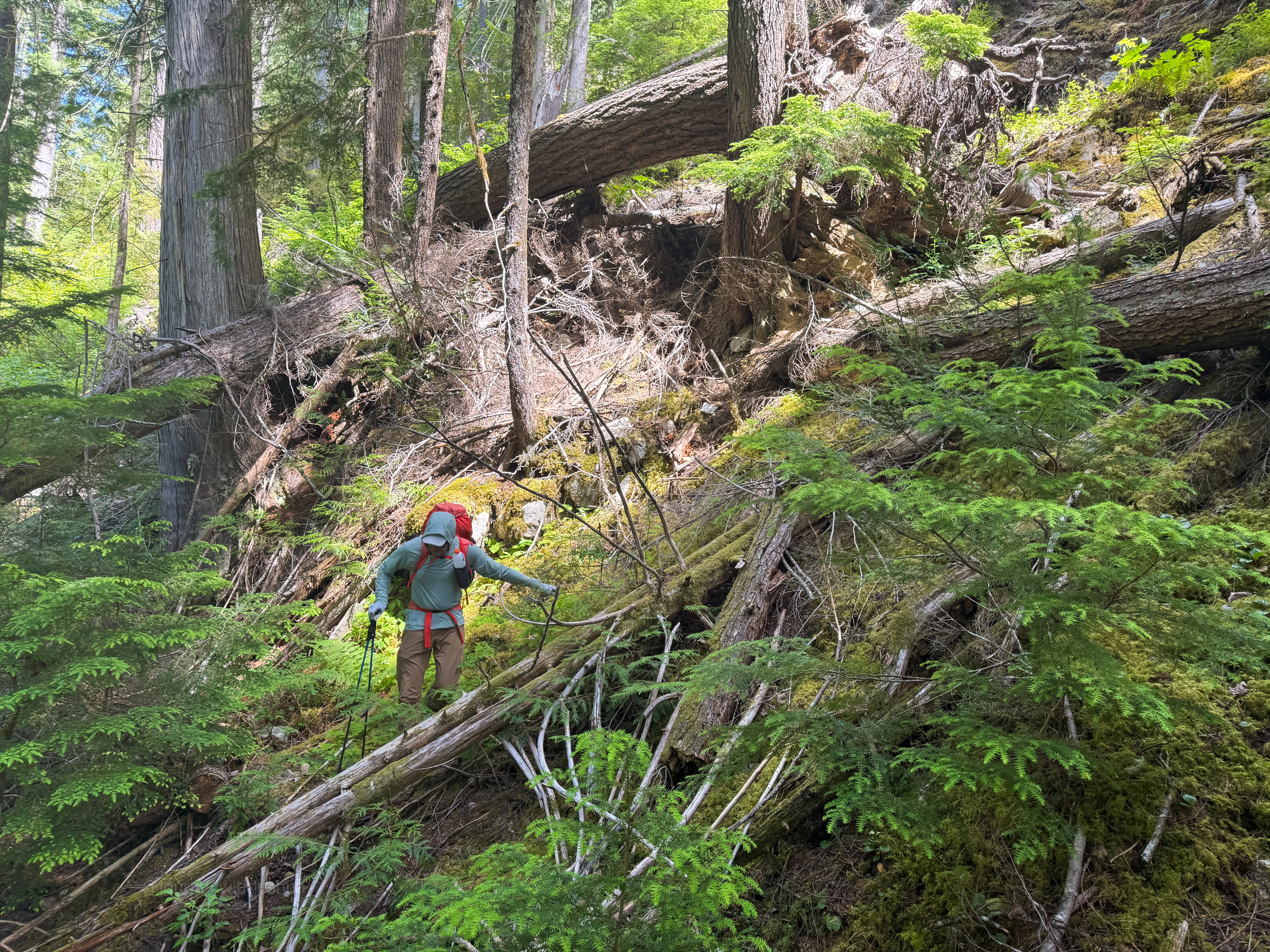
The 50 ft drop off the trail. This is where you leave the comfort behind
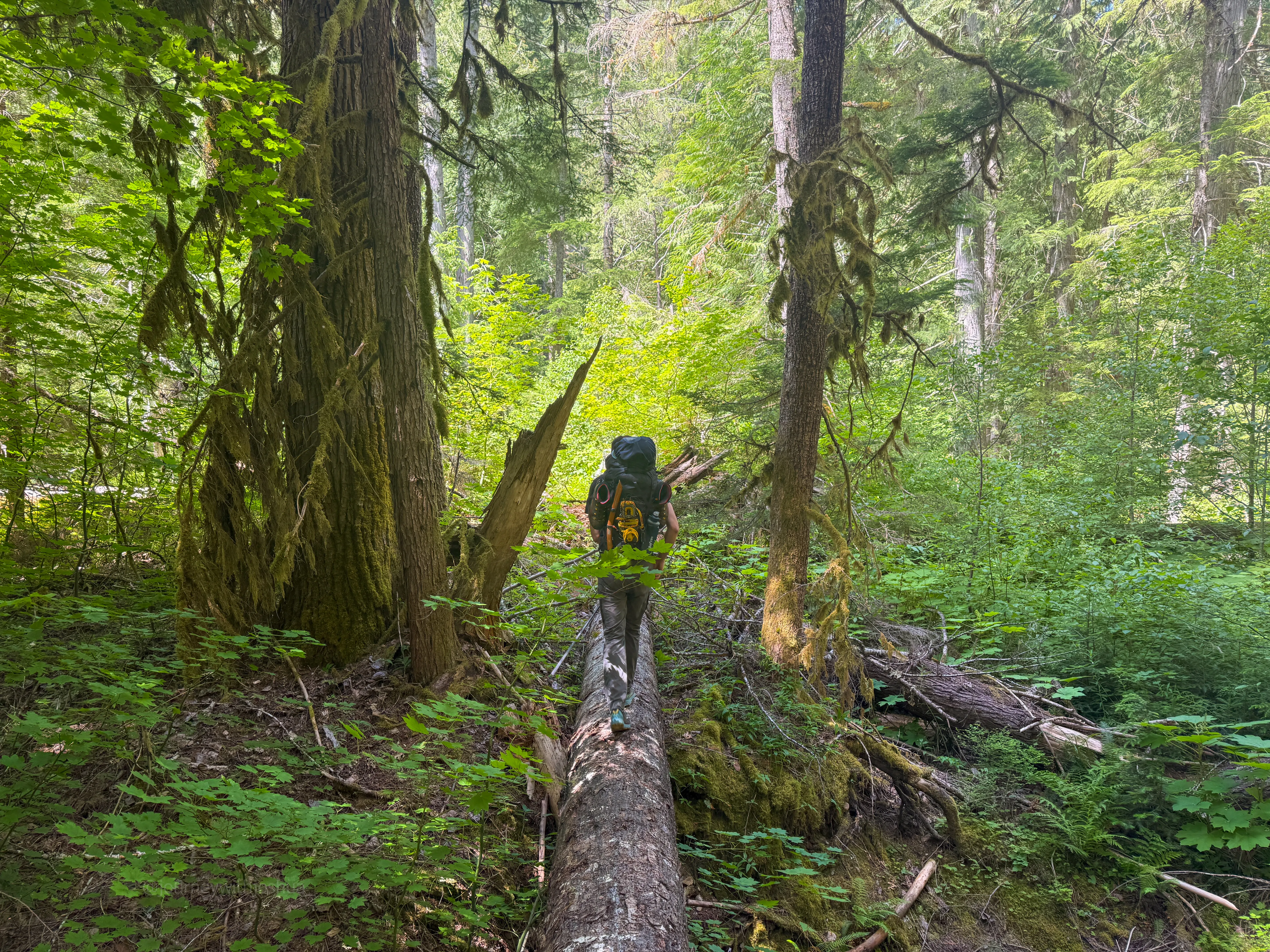
Log balancing and bushwhacking down to the creek crossing
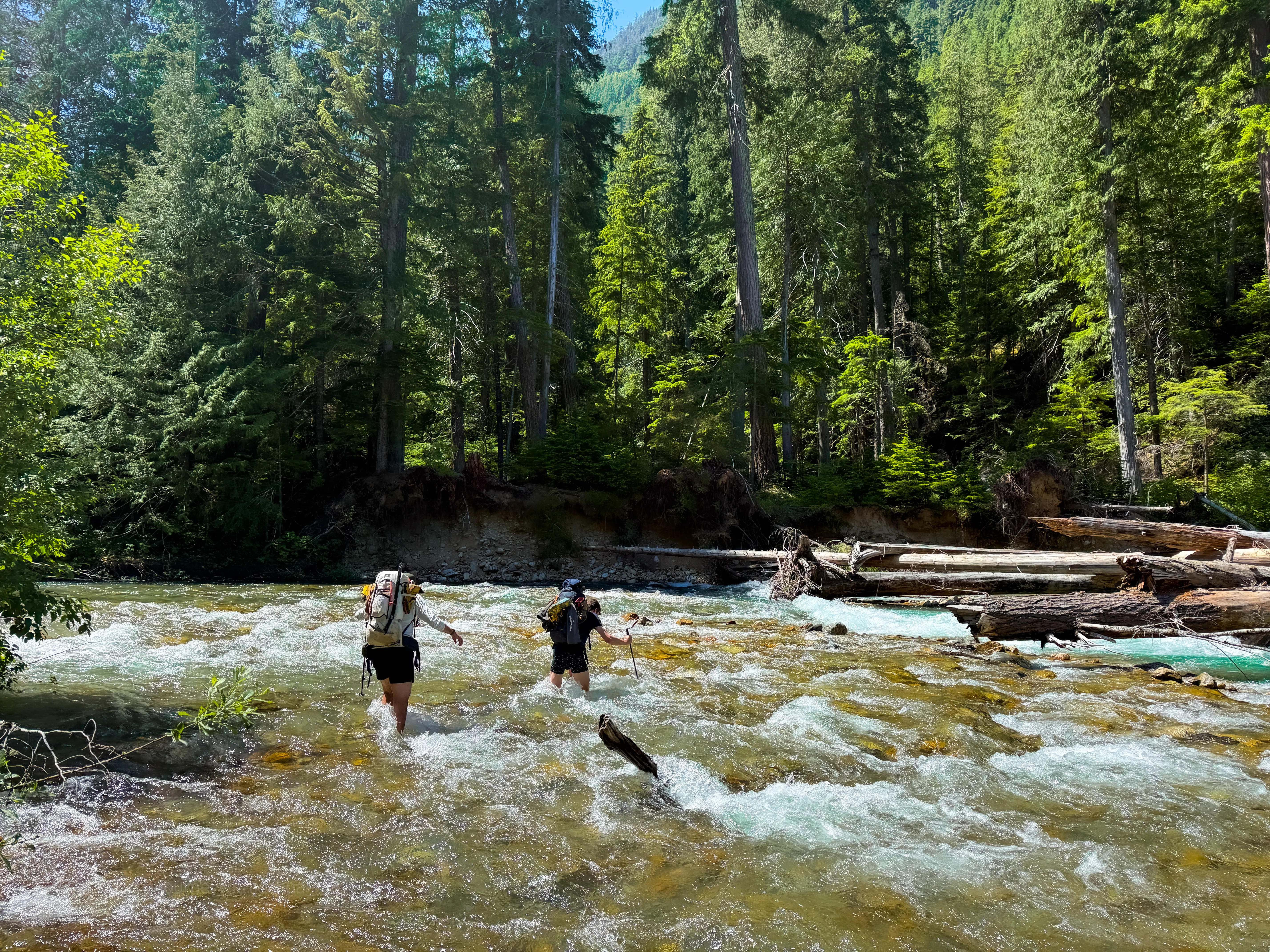
Thunder Creek was ripping. This is the water you’re crossing on the log jam
We found a zero-depth entry into the river and got ready. Chris and I were already in shorts and just kicked off our shoes. Dan went full wild west, no pants or shoes. Sri tried pants and no shoes, and Jon went pants and shoes. A hodgepodge of styles, and a great way to learn what works and what doesn’t. The cold water felt good in the summer solstice heat, but the real power of Thunder Creek showed up fast.
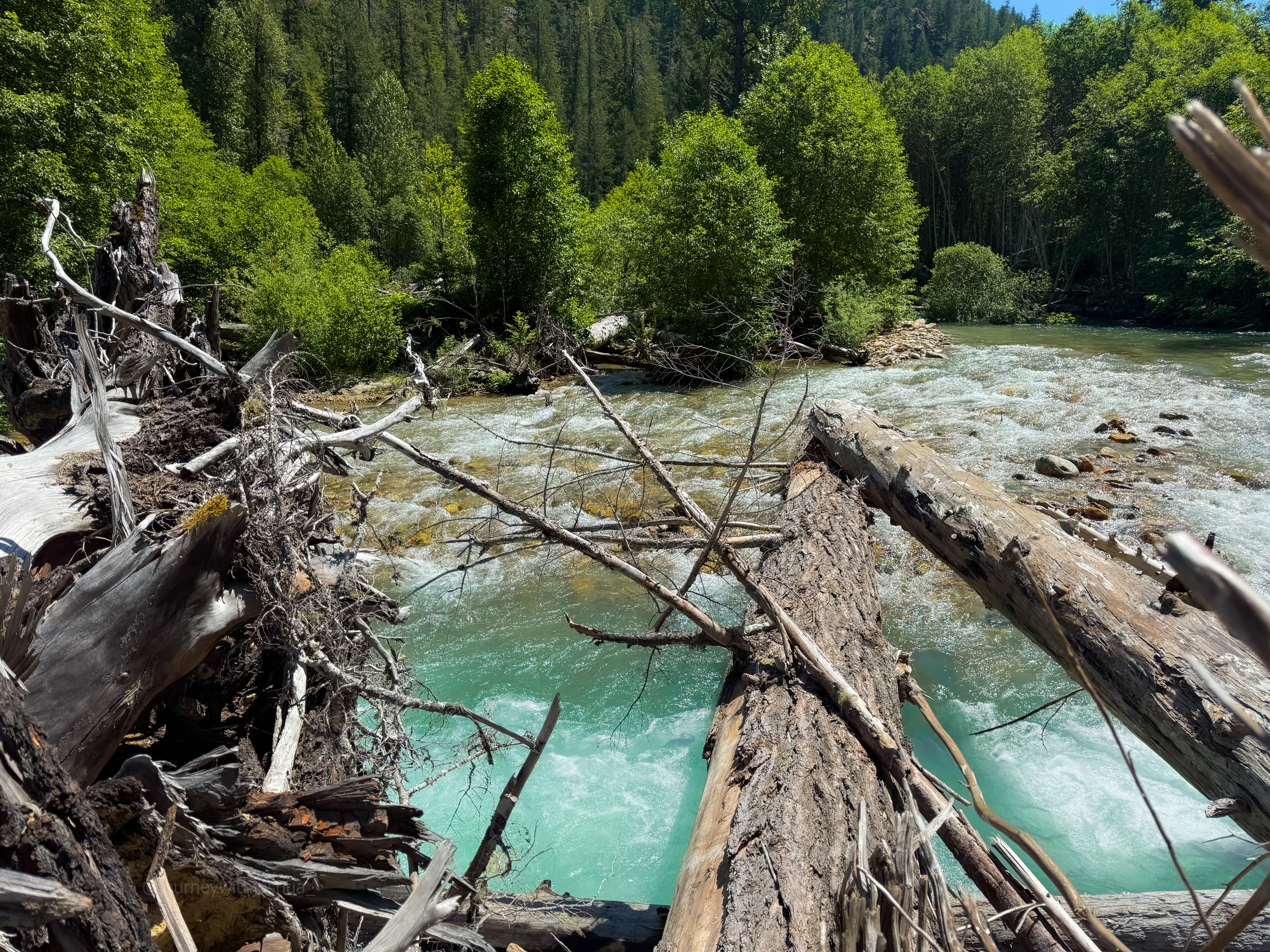
The log jam itself. This is the way across
There’s a distinct tradeoff barefoot here. Stay high on the big rocks and risk a smooth slip, or set your feet deeper on the smaller rocks that dig into your bones. Shallower is maybe more slippery, with less of the current crushing into you. Deeper gives more foot security but more water trying to take you for a ride. The high, smooth rocks are better, as long as they don’t roll while you’re standing on them. The choice is yours, one step at a time.
I don’t usually carry poles, and I wished I had them here. I grabbed a sturdy stick for the crossing on the way in and still got knocked off balance a few times barefoot. Two sticks on the way out felt much more secure. Chris crossed fast in his boots on the return, and Jon had zero issues in trail runners both times. Honest takeaway: it may be worth the weight to bring a dedicated pair of shoes to stash and cross in (I refuse to hike in wet shoes). Poles are clutch here, and if you don’t have them, a good stick makes a real difference. The crossing zaps a good bit of energy, so get a snack in.
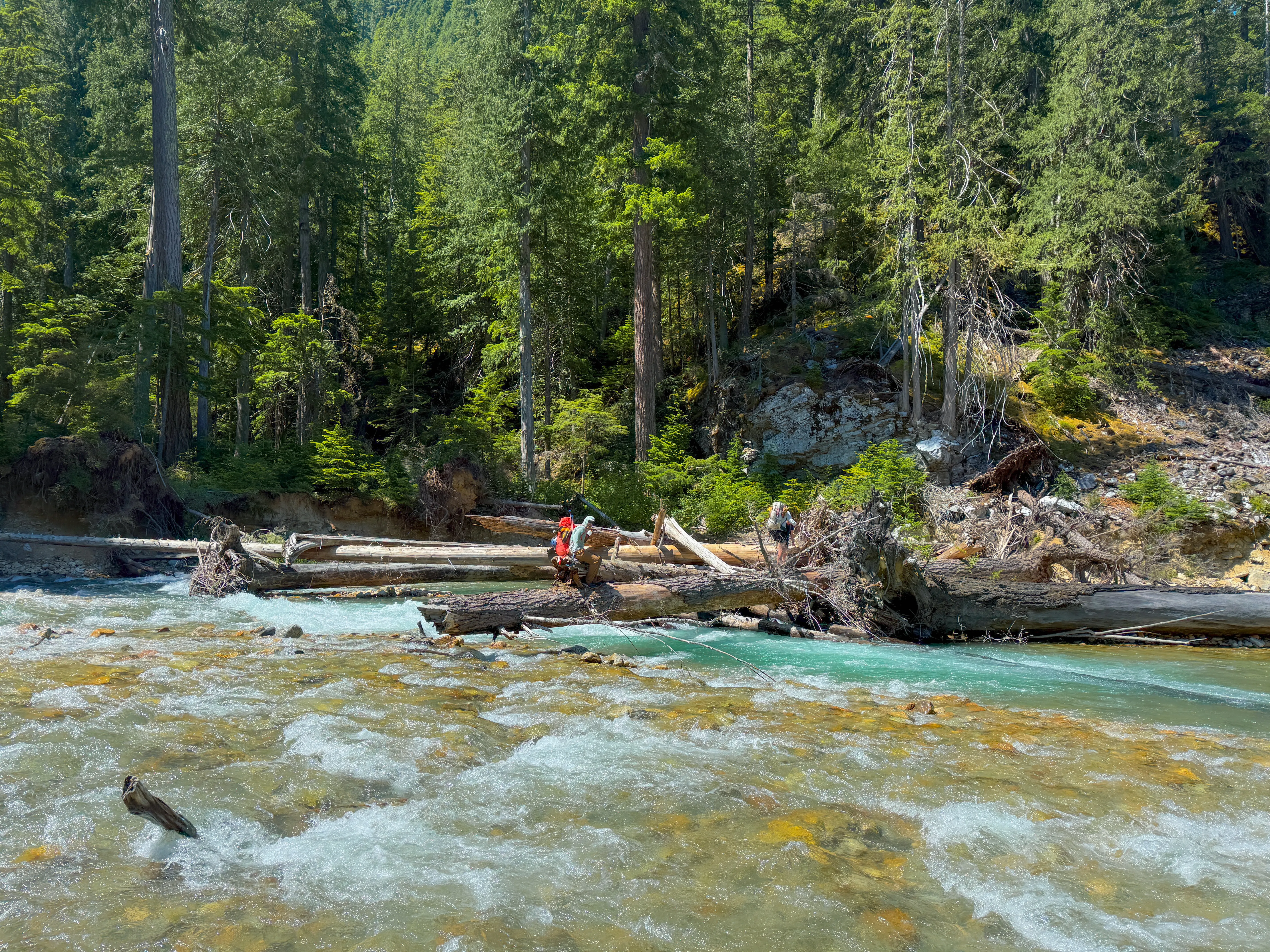
Team made it across at the log jam
There’s a choice at the far end of the log jam, and both ways go. You can stay on the log to its end and creep left along the sand and rock bank, or drop back in and cross one more short but deeper section of the creek. Pick whatever looks better to you that day.
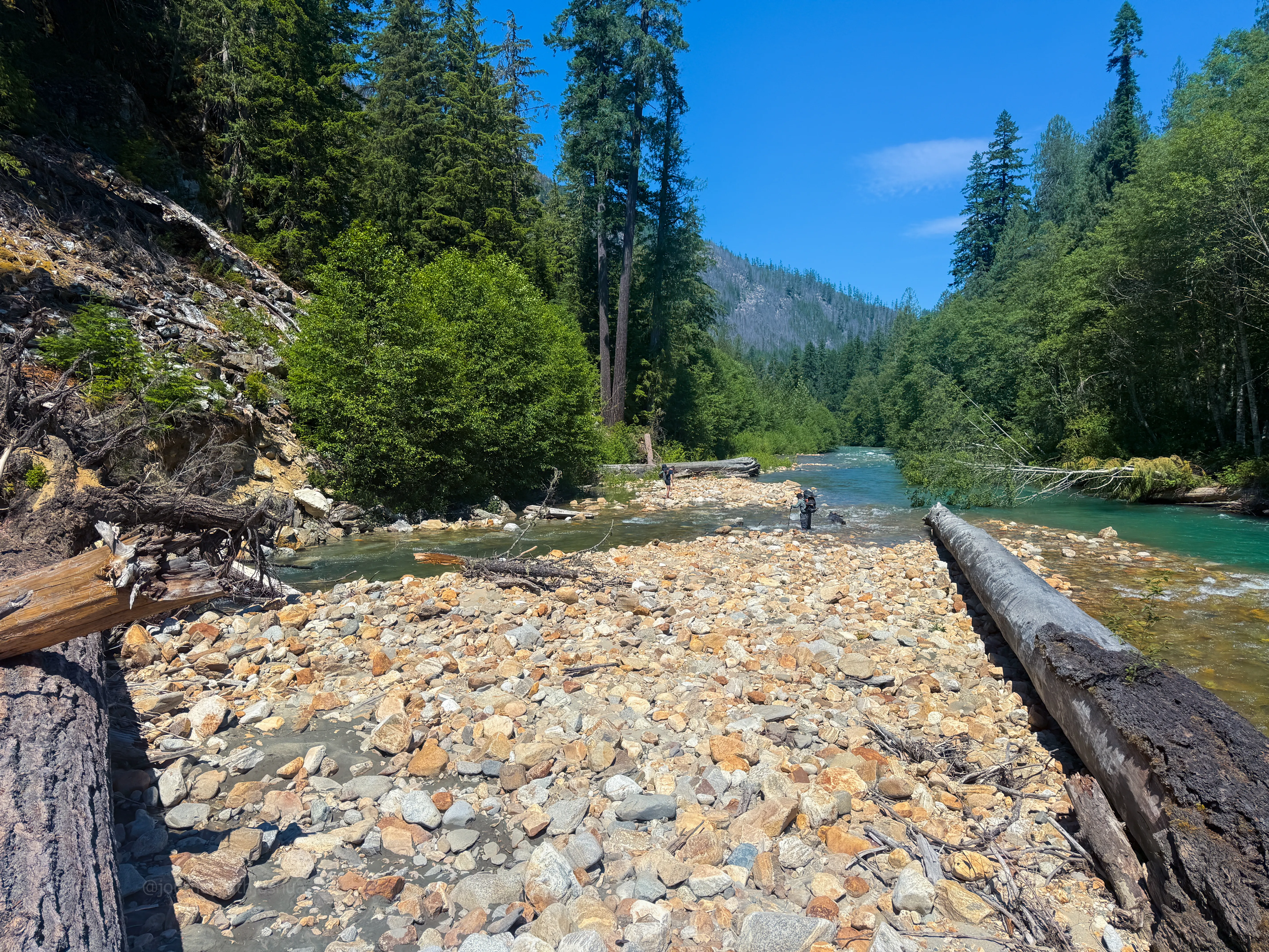
The choice at the end of the log jam. Go left along the bank, or cross the short deep channel again. Both go
Fill up your water here too. It’s your last source until high camp above Borealis Lake. I chugged a liter straight from the creek and carried one more, figuring I could stretch it rather than haul the extra two pounds. Others carried 1.5 to 2 liters, and one carried 3. I got thirsty.
One more thing: the water was ripping this weekend. Staring down at the riverbed and my feet, the rushing current played an optical trick on me and threw my balance right off. If that happens to you, look up and across to where you’re going, or it will sweep you over. Nature really messes with your head out there.
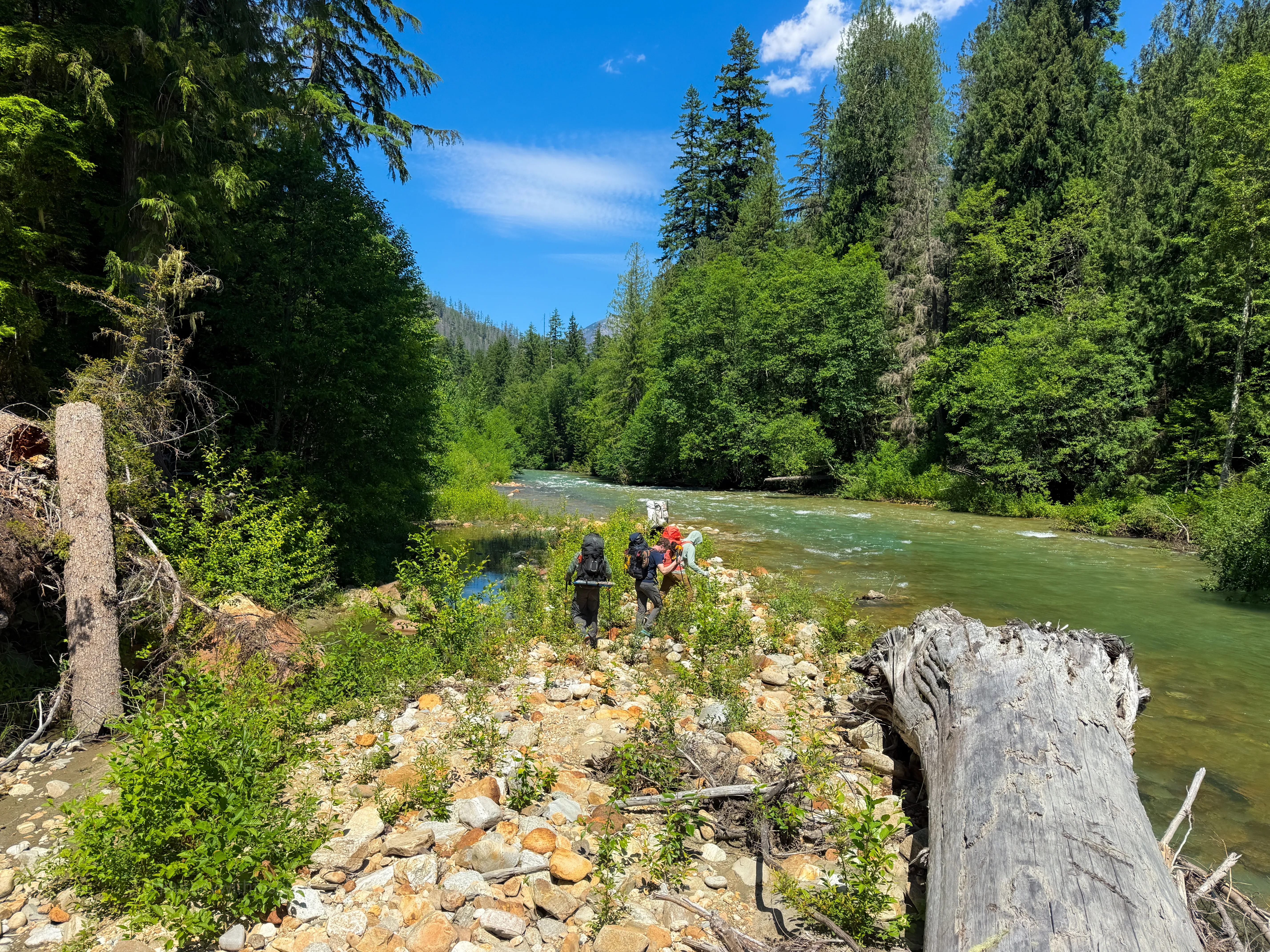
Snack break on the island once we were across, fueling up before the bushwhack
Up Lucky Ridge to High Camp
In simple terms, here’s the gain. We started around 1,200 ft, and the trail rolls up to about 2,000 ft by the river. From the crossing it’s a relentless climb of roughly 4,000 ft to high camp near 6,000 ft, most of it packed into about four off-trail miles. Summit day adds about 3,000 ft. All told, the trip logged right around 10,000 ft of gain.
A note on the numbers: my watch logged 29.5 miles and a teammate’s showed about 25 to 26, and both showed around 10,000 ft of gain. The extra distance is GPS noise stacking up under heavy tree cover and at our stops (the track has me wandering in little circles in spots I never moved). Plan on the lower number, roughly 25.8 miles round trip, but be ready for it to feel longer.
From Thunder Creek, finding the trail is not easy, and your GPX is a real necessity. You bushwhack through a forest of lovely devil’s club and downed trees, and once the bugs catch your scent they do not relent. It’s messy for 0.25 to 0.5 mi until you hit a climber’s trail. This is where the Lucky Ridge ascent begins.
In the spirit of a true bushwhack, the thrash didn’t just chew on us, it chewed on the gear. Somewhere in there my long-suffering Osprey 65 finally tapped out: a hip belt buckle snapped clean into two pieces and my right hip pocket got torn wide open. A fitting tax for a pack that’s carried me through a lot of miles. The devil’s club got its pound of flesh too. I had enough blood running down my legs that I decided it was time to throw on the OR Cirque Lite pants, tie my karate-belt-looking backpack straps together, and carry onward toward camp.
You’ll hit your first cliff scramble around 2,300 ft. It’s chill and never felt unsafe. I wouldn’t trust much of the rock, but there are strong tree belays to grab. From there it’s basically straight up with simple navigation until some little rock switchbacks around 3,600 ft give you a short break. Be warned: every time you stop, you’ll collect 5 to 10 bug bites even on a quick rest.
We lost the trail briefly and quickly found it again. Remember, you’re going straight up the ridge. It all goes. Around 4,250 ft comes the second cliff scramble and the famous “dirt moat.” It’s literally a loose plot of dirt separated from the rock with a dark hole in it. We crossed it fine, but Dan had been telling us about a student who fell into a hole and broke both legs, so we gave it some respect. The scramble is easy and the line is intuitive. Climb up and use the trees for holds. If you ever feel exposed or like it’s genuinely dangerous, you’re probably making it harder than it needs to be.
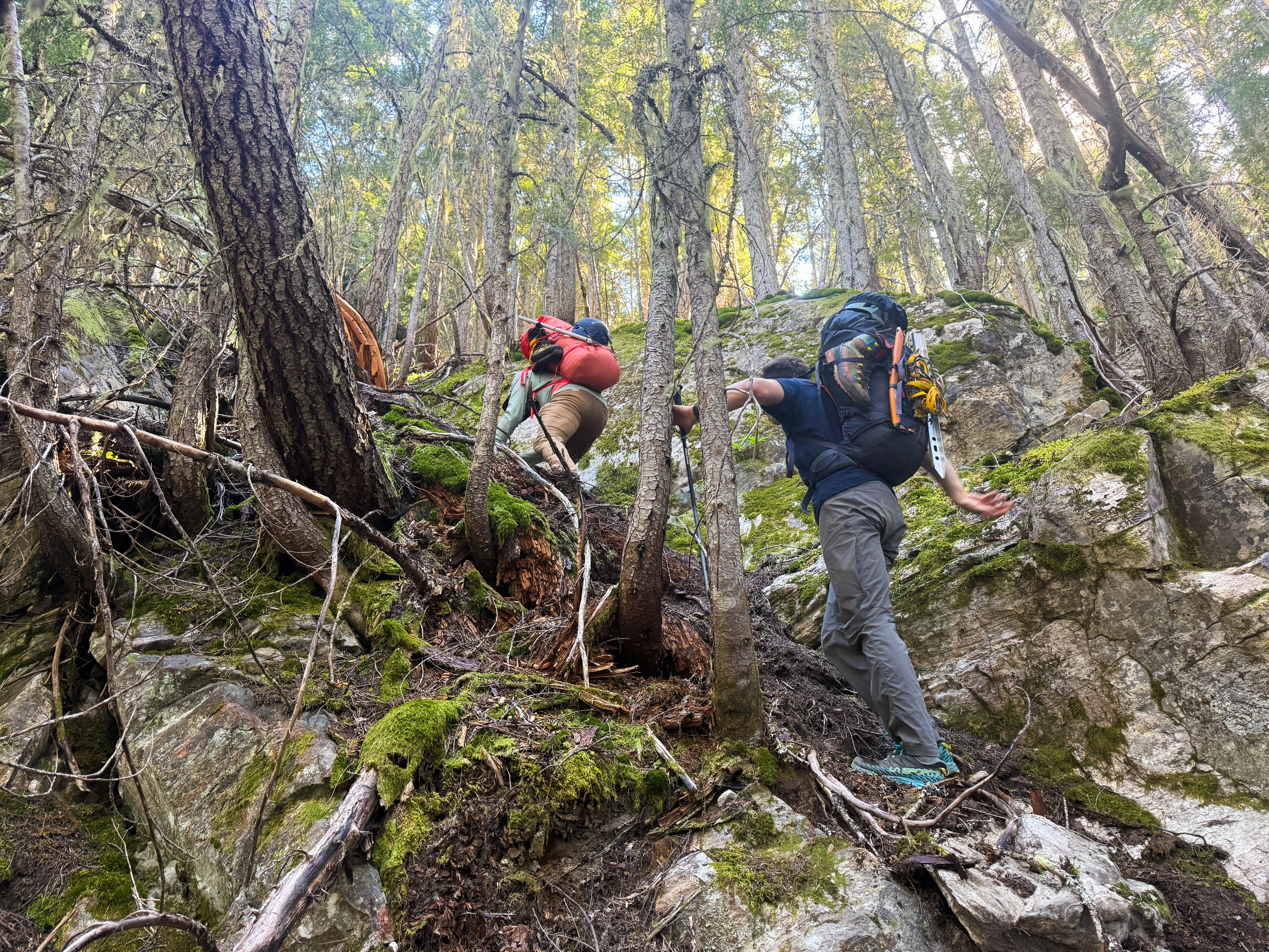
Jon and Dan clearing the dirt moat. Loose dirt, a dark hole, and a story to keep you honest
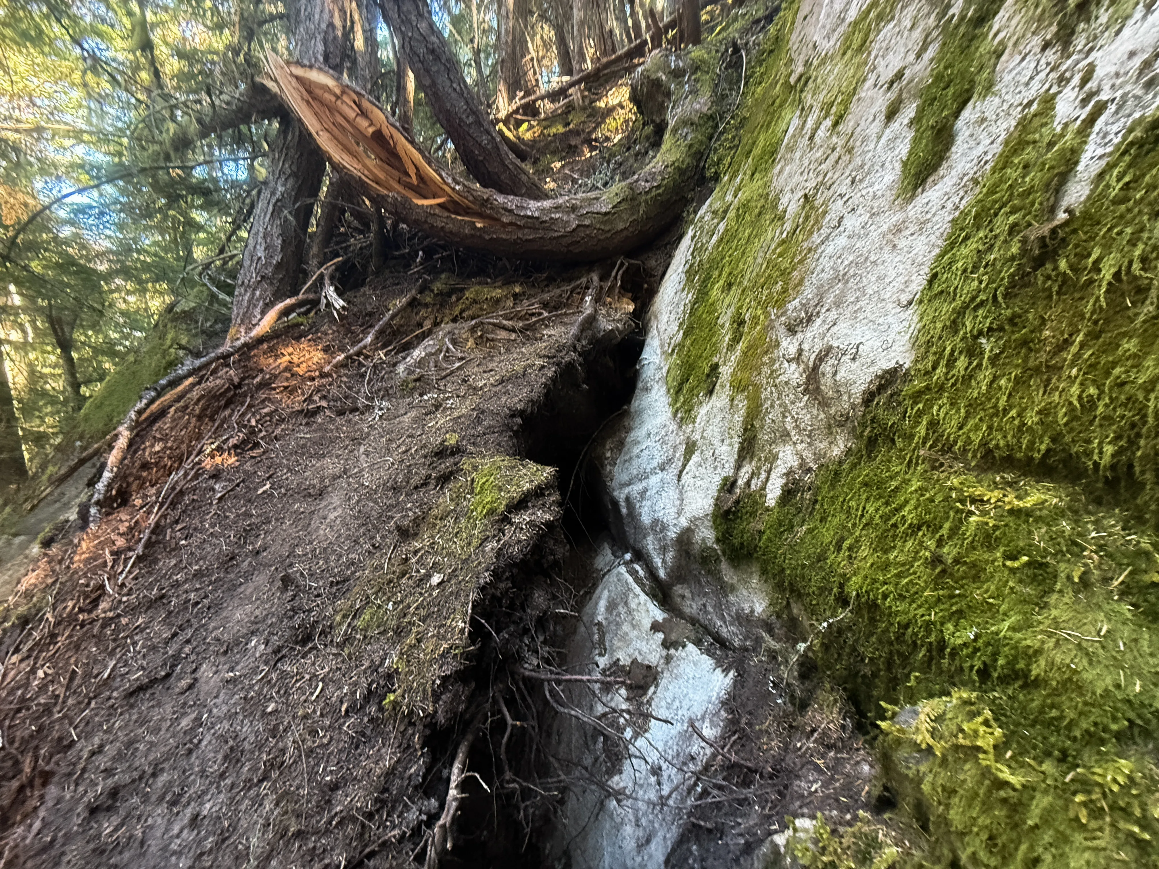
The dirt moat up close. A loose plot of dirt pulled off the rock with a dark gap behind it
Next up is your first big vantage of Primus around 4,800 ft, a great snack spot for us and for the bugs feasting on the team. Brace yourself: after all that work, you have to give some gain back. It’s not as bad as it looks. Drop down and follow a faint, almost-invisible traverse along the ridge, then start climbing again. Somewhere around 5,000 ft the snow turns persistent. It was patchy and hard to pin down a clean line, so call that an estimate and lean conservative. It had softened in the day’s sun, so we stayed in trail runners and kept grooving.
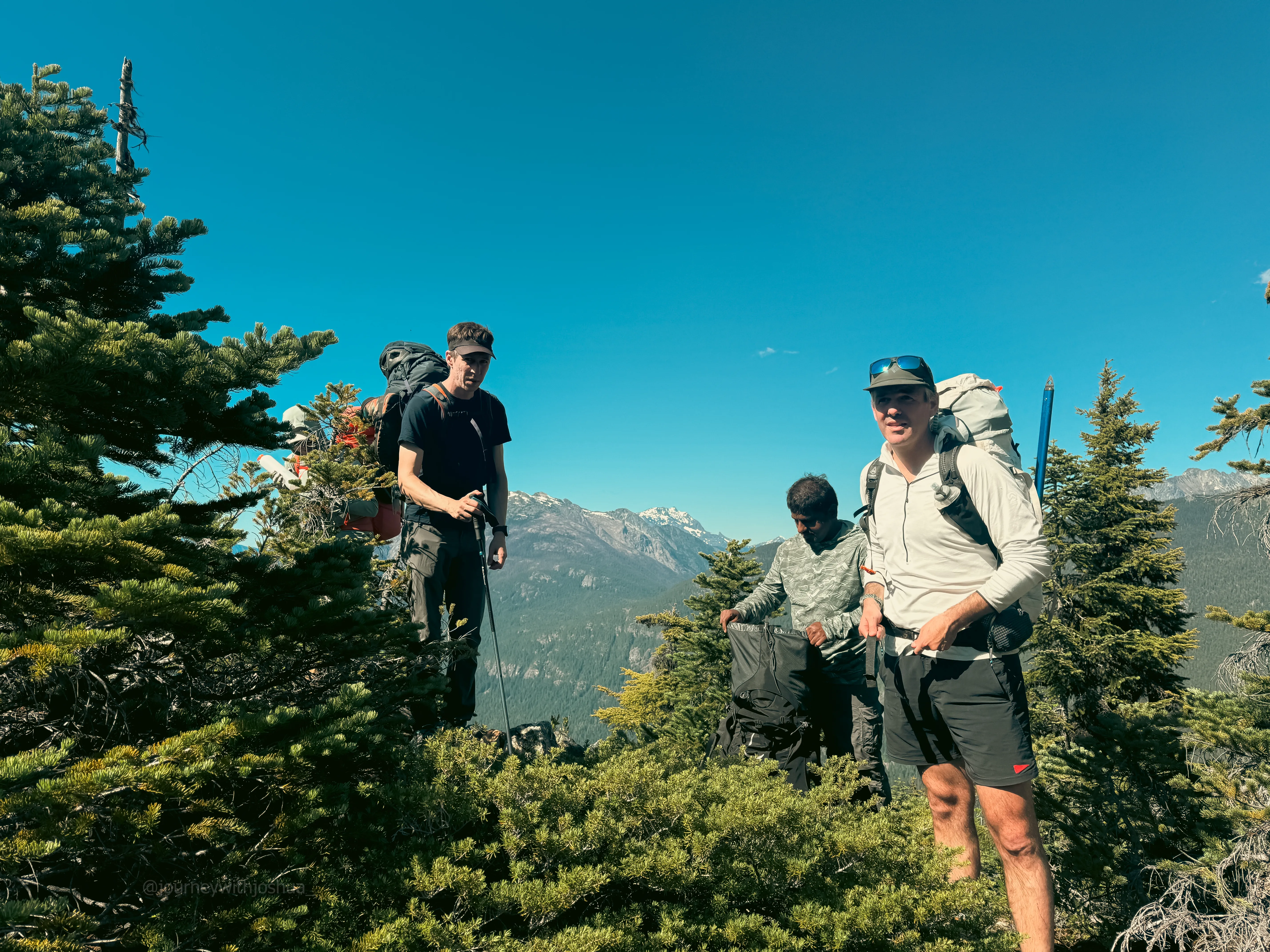
The snack spot around 4,800 ft. First big payoff view, and a buffet for the bugs
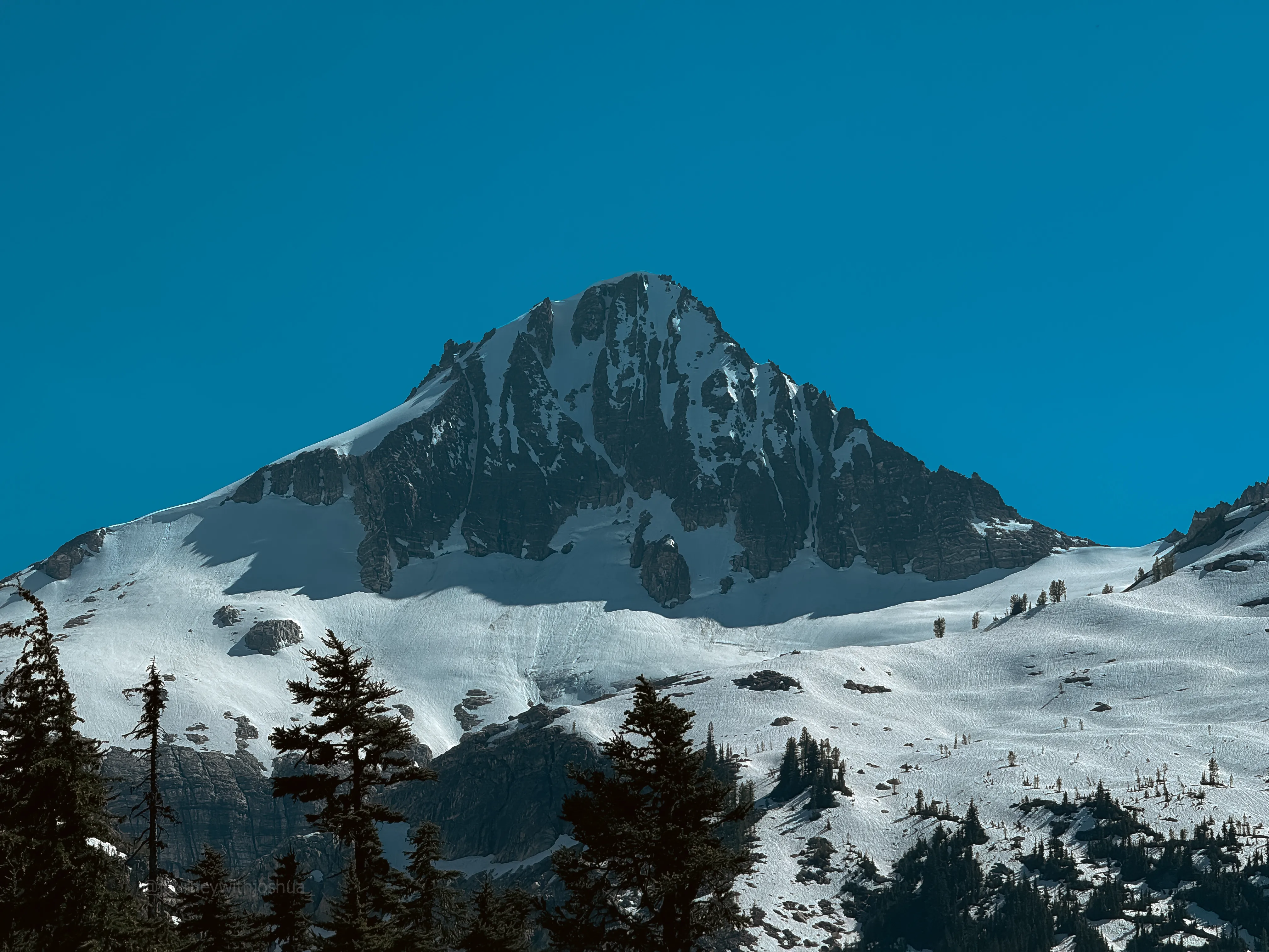
Primus itself from the snack spot. The northeast face starts to show its scale here
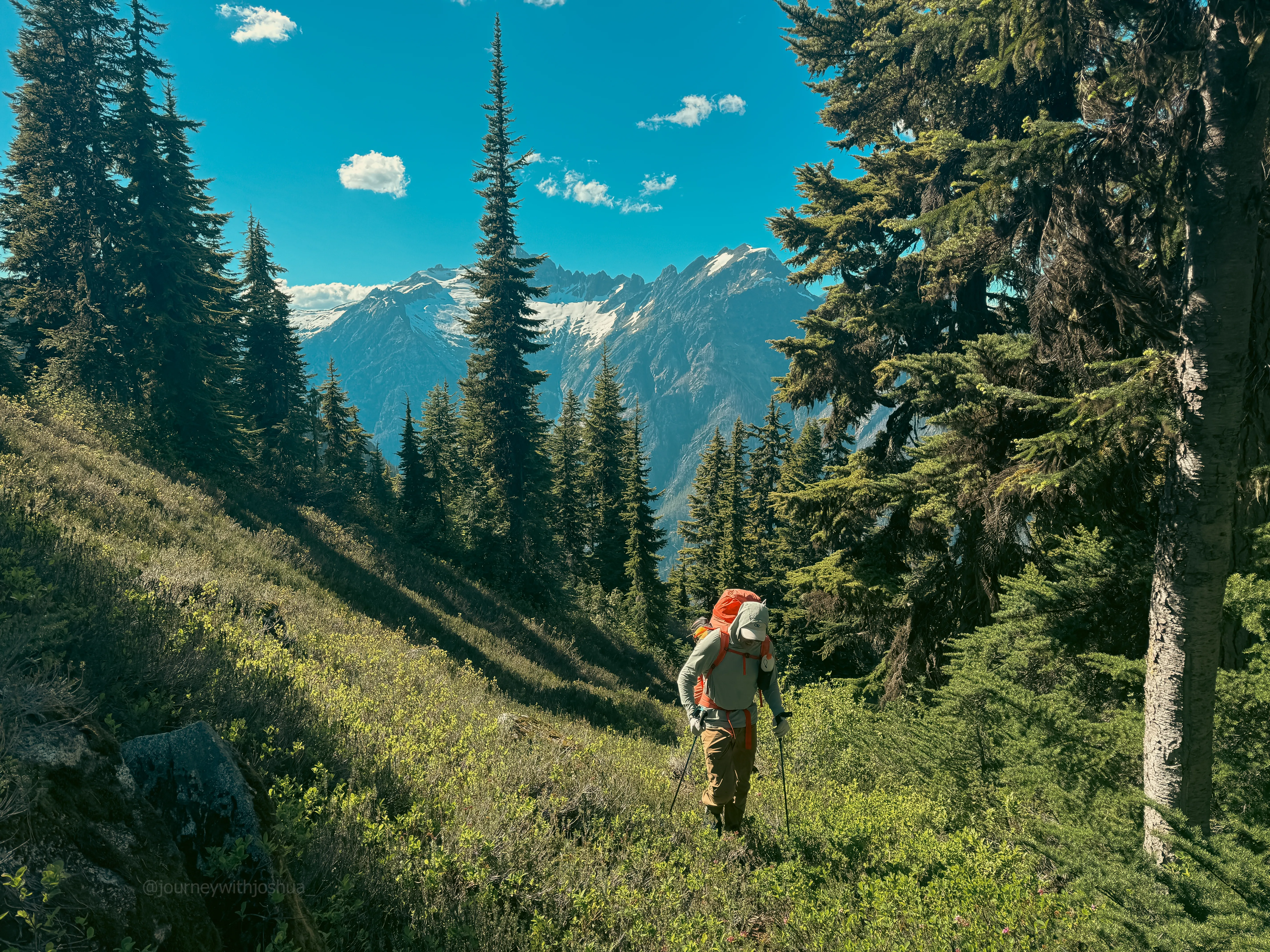
The slog to high camp grinds on, Snowfield out in the distance
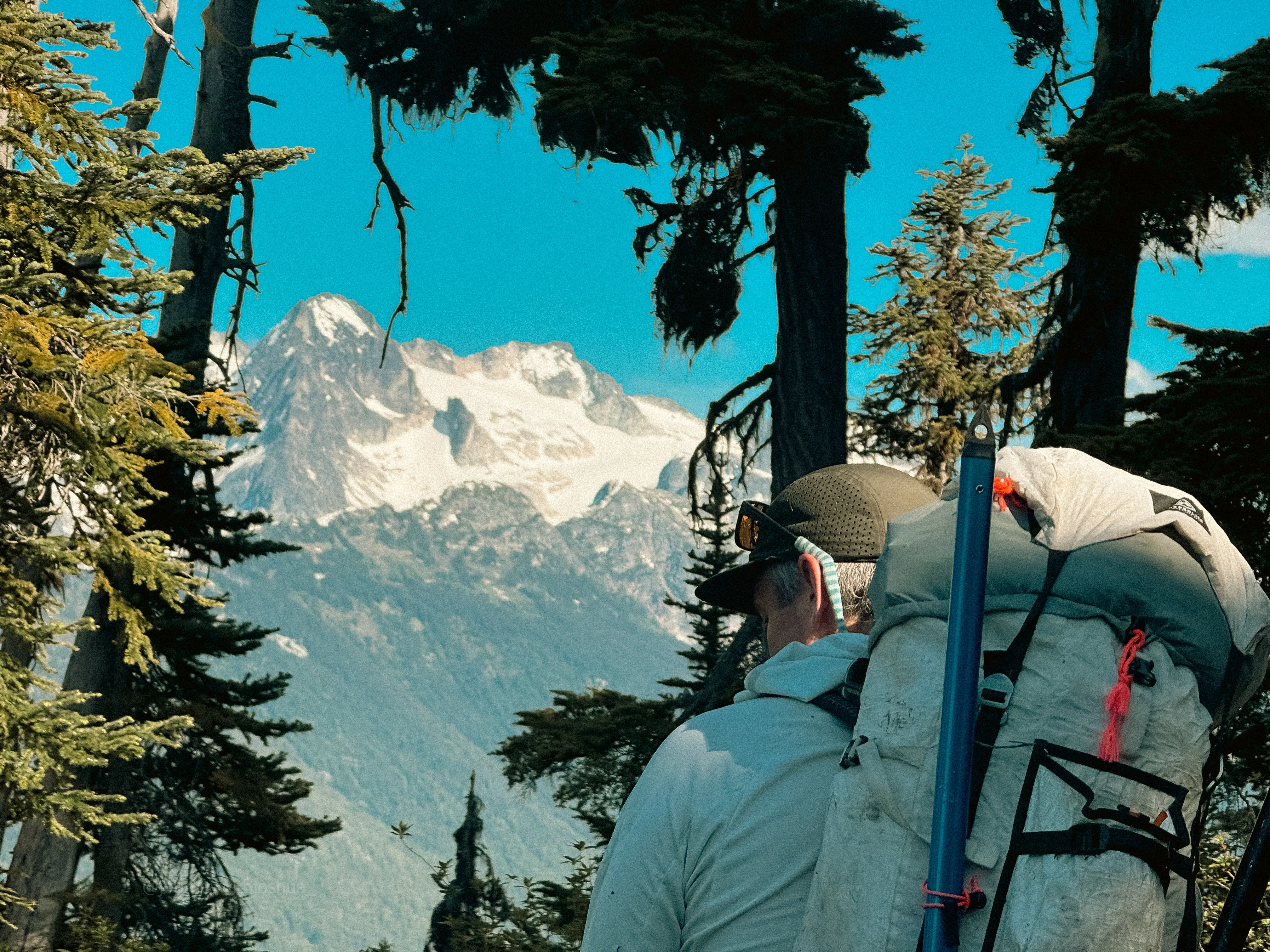
Chris spots Tricouni as we near camp
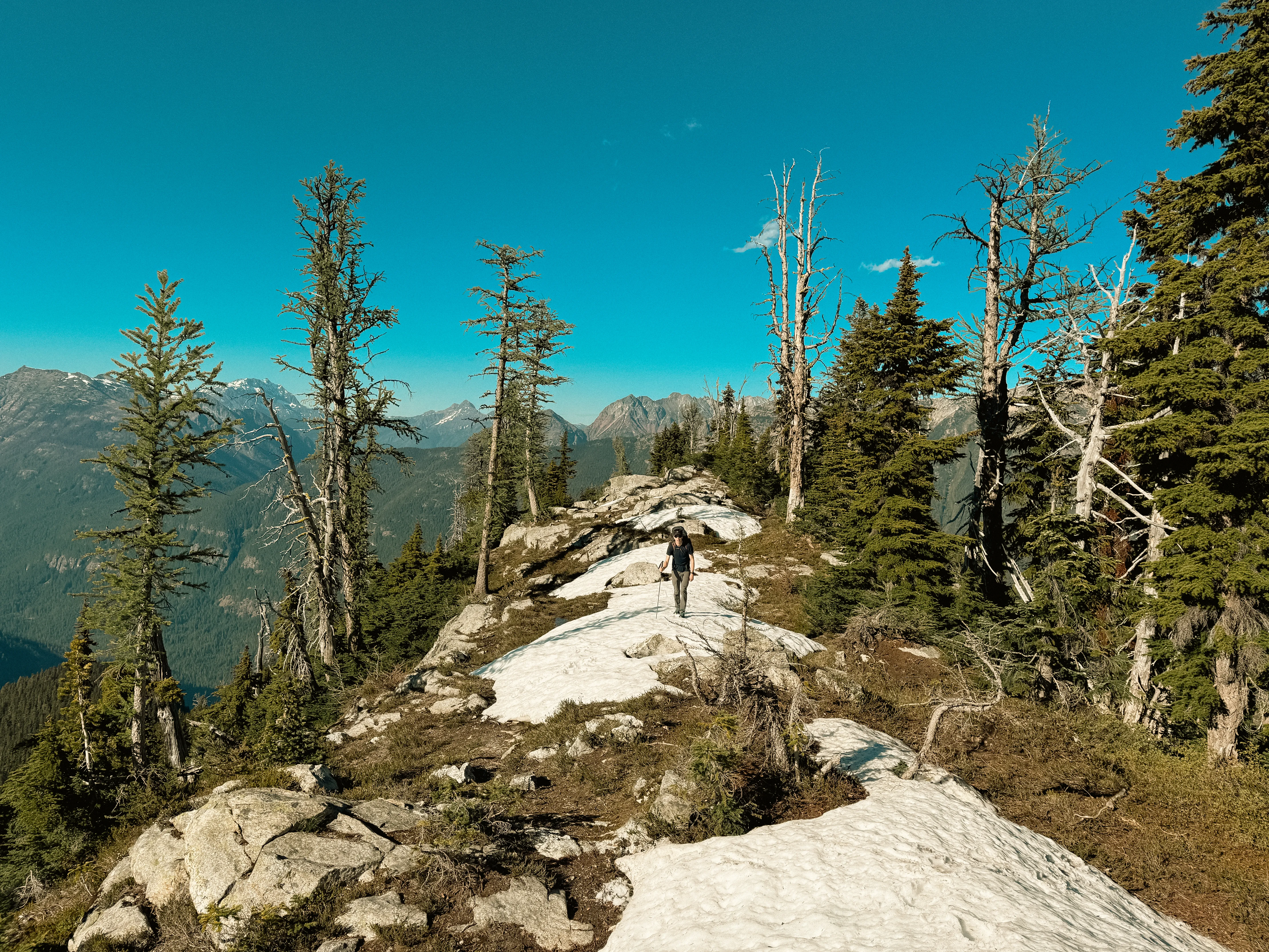
Dan getting the larch welcome at the top of Lucky Ridge
And yes, by now I was thirsty. The snow was starting to look appetizing. But I knew we were close. We pulled up to an incredible perch right above the frozen Borealis Lake around 1730. Later than we wanted, but with three days on the clock we had time for shenanigans. Tricouni and Primus stared down at us. The northeast face of Primus is jaw-dropping.
High Camp Above Borealis Lake
The forecast had clouds and 15 to 25 mph wind both nights. That didn’t worry me, but with a group it’s important everyone is aware and takes precautions. We found shelter in the little valleys between the rock shelves, some of us on snow, some on rock. With time to spare, I hydrated and built a little rock wall to block the wind around a sweet bivy spot. I was proud of my home away from home in the North Cascades.
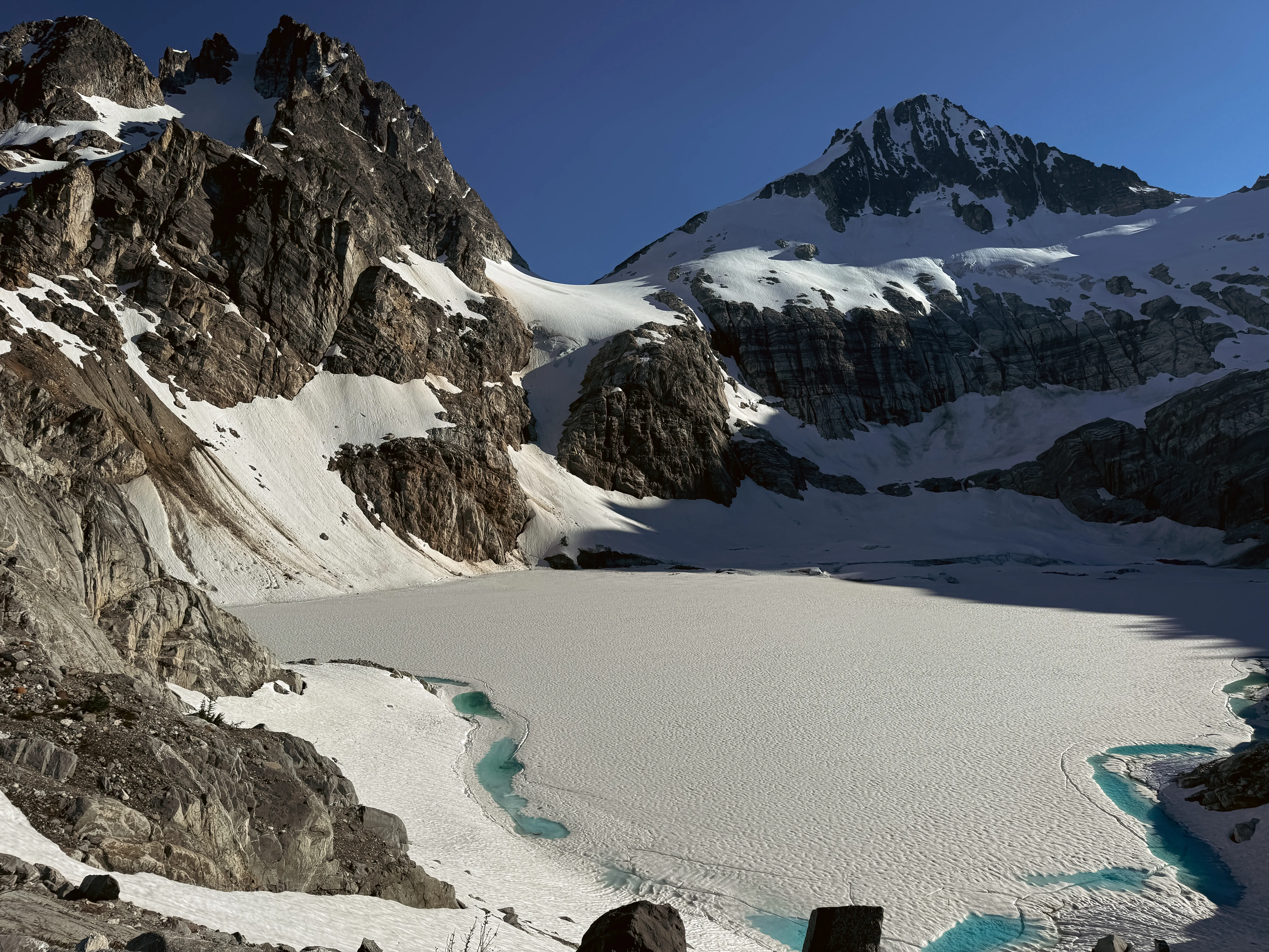
The view from my bivy. Primus and Tricouni right there. Worth every step
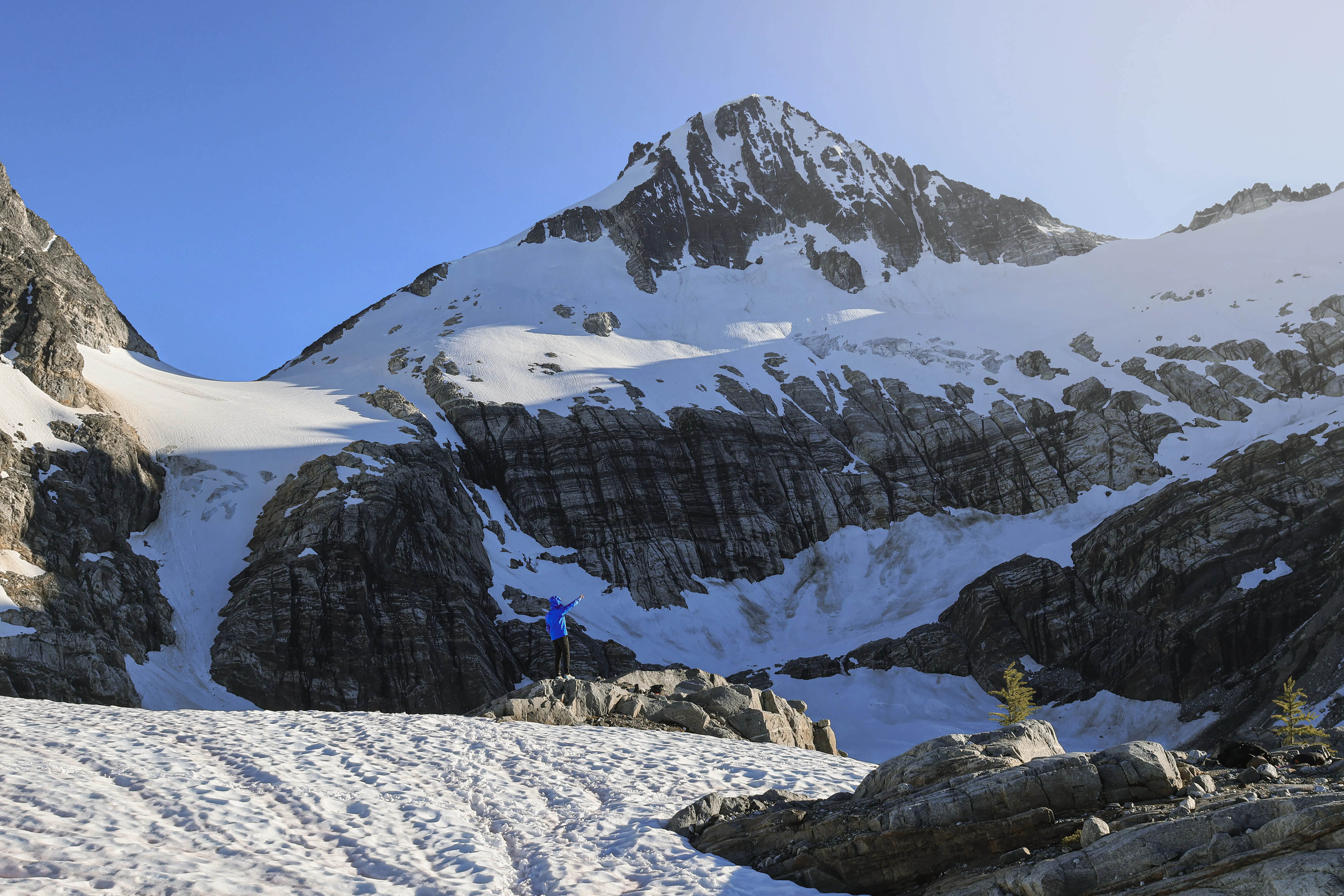
Me at the bivy, Primus behind for scale. The peak makes you feel tiny
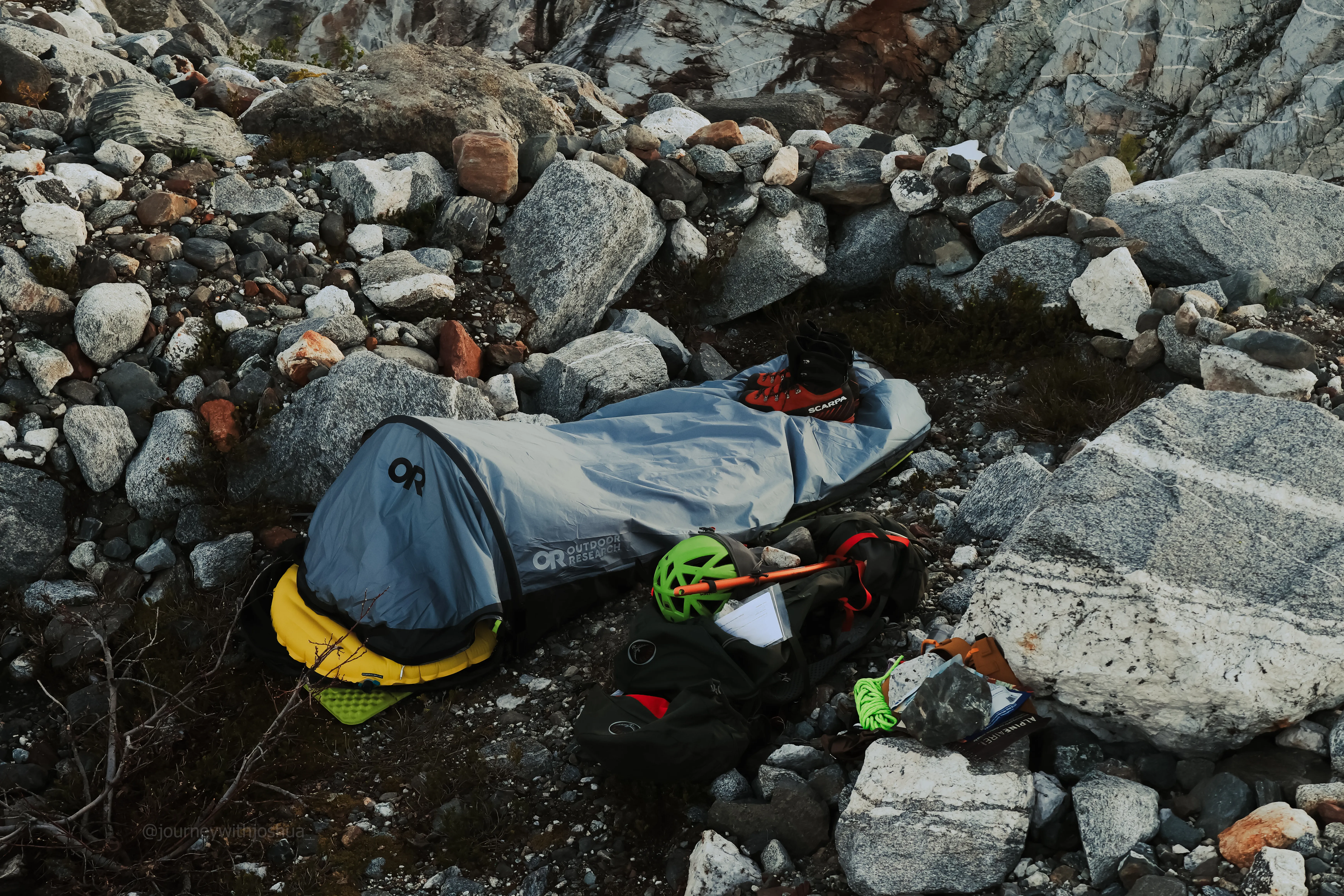
Up close at my bivy, stone wall and all. Home away from home for the weekend
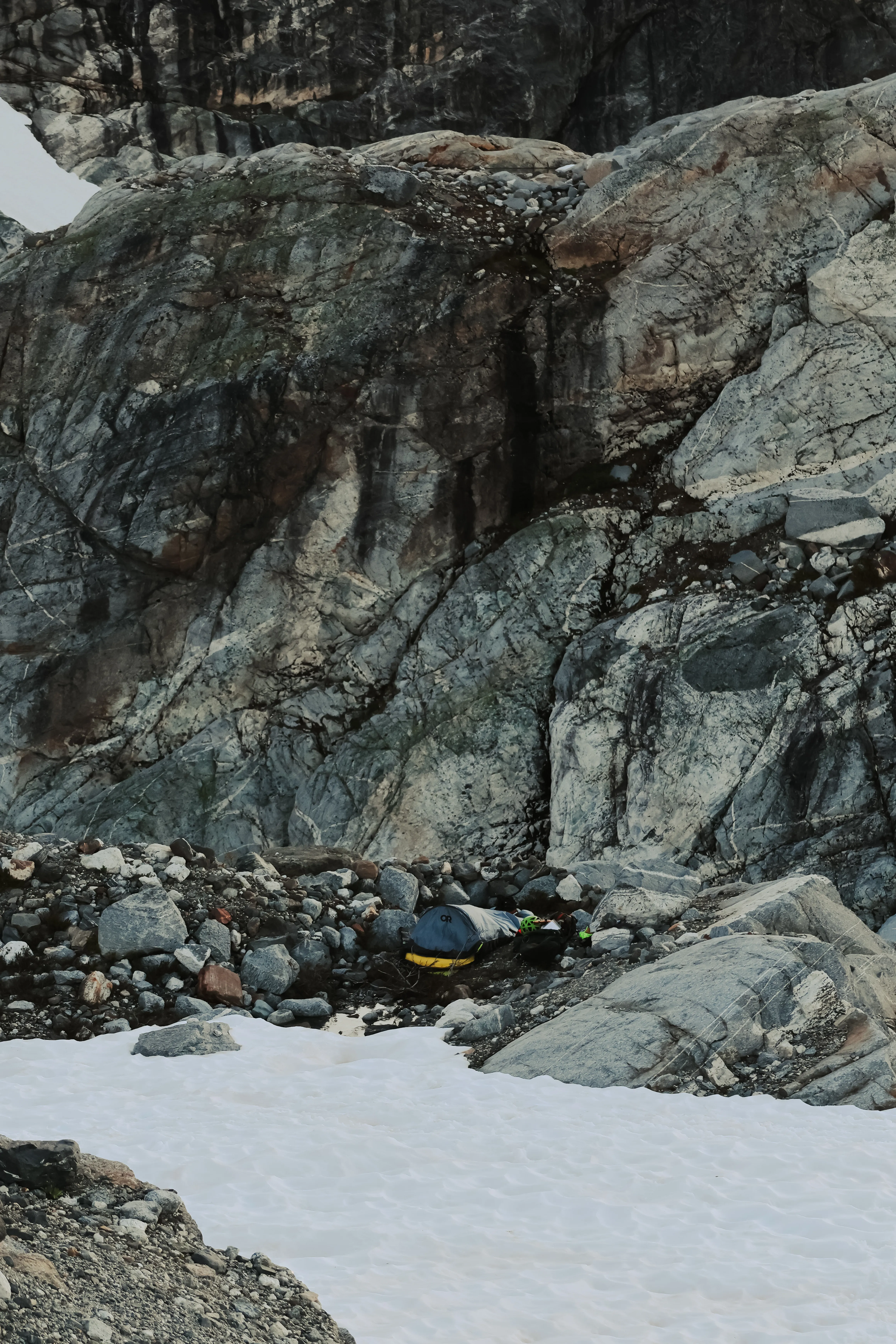
The bivy with a bit more of the surroundings in frame for scale
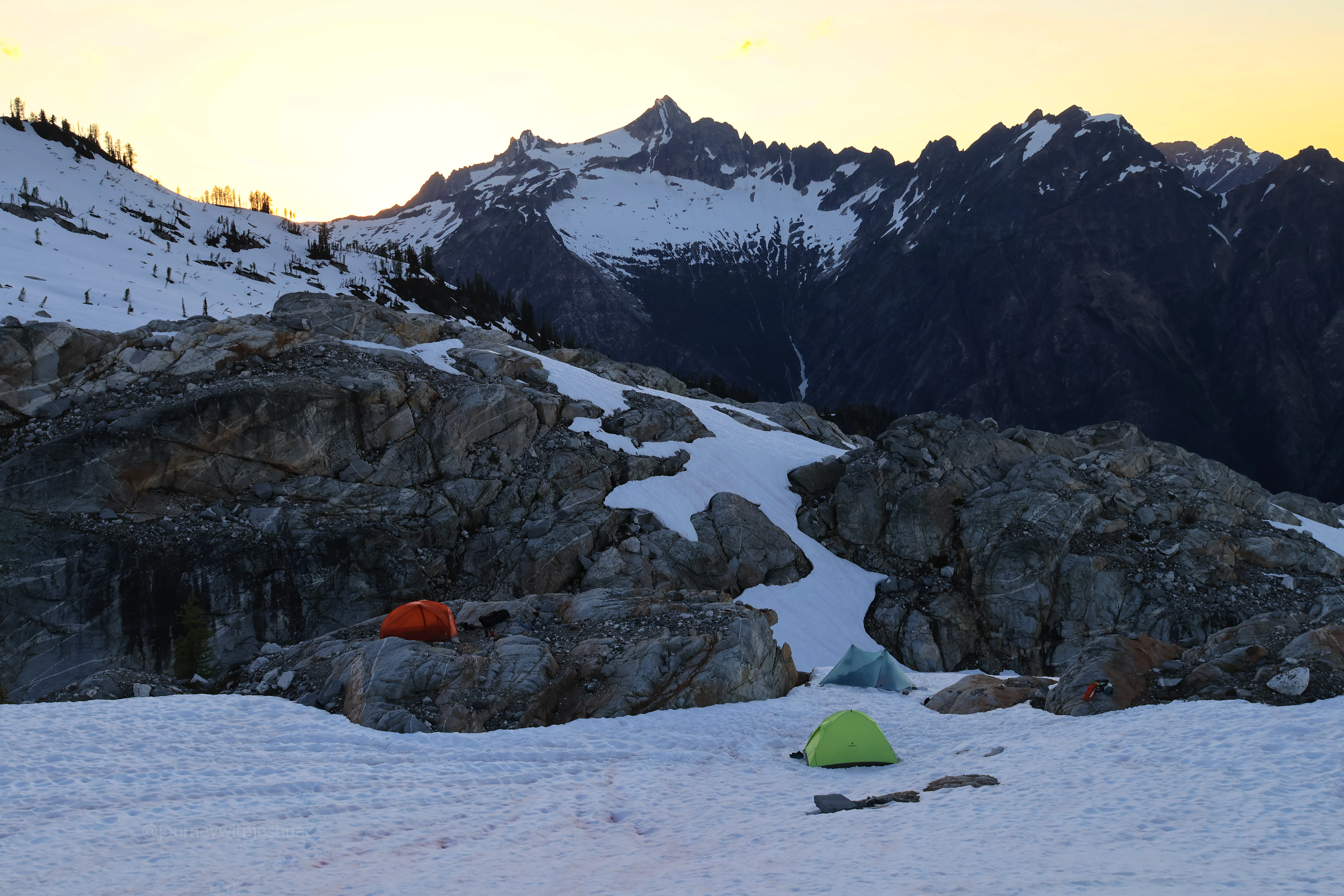
The team set up tents, prepped for the wind (mostly), and boiled water for a well-earned dinner. I’d packed one of my favorites, a Sweetgreen jalapeno ranch wrap, and housed it. Having a real-food meal or two in the backcountry is a godsend. With some water in me I felt brand new. We hung around for the sunset. The temps dropped as expected but never hit freezing. The first night was warm.
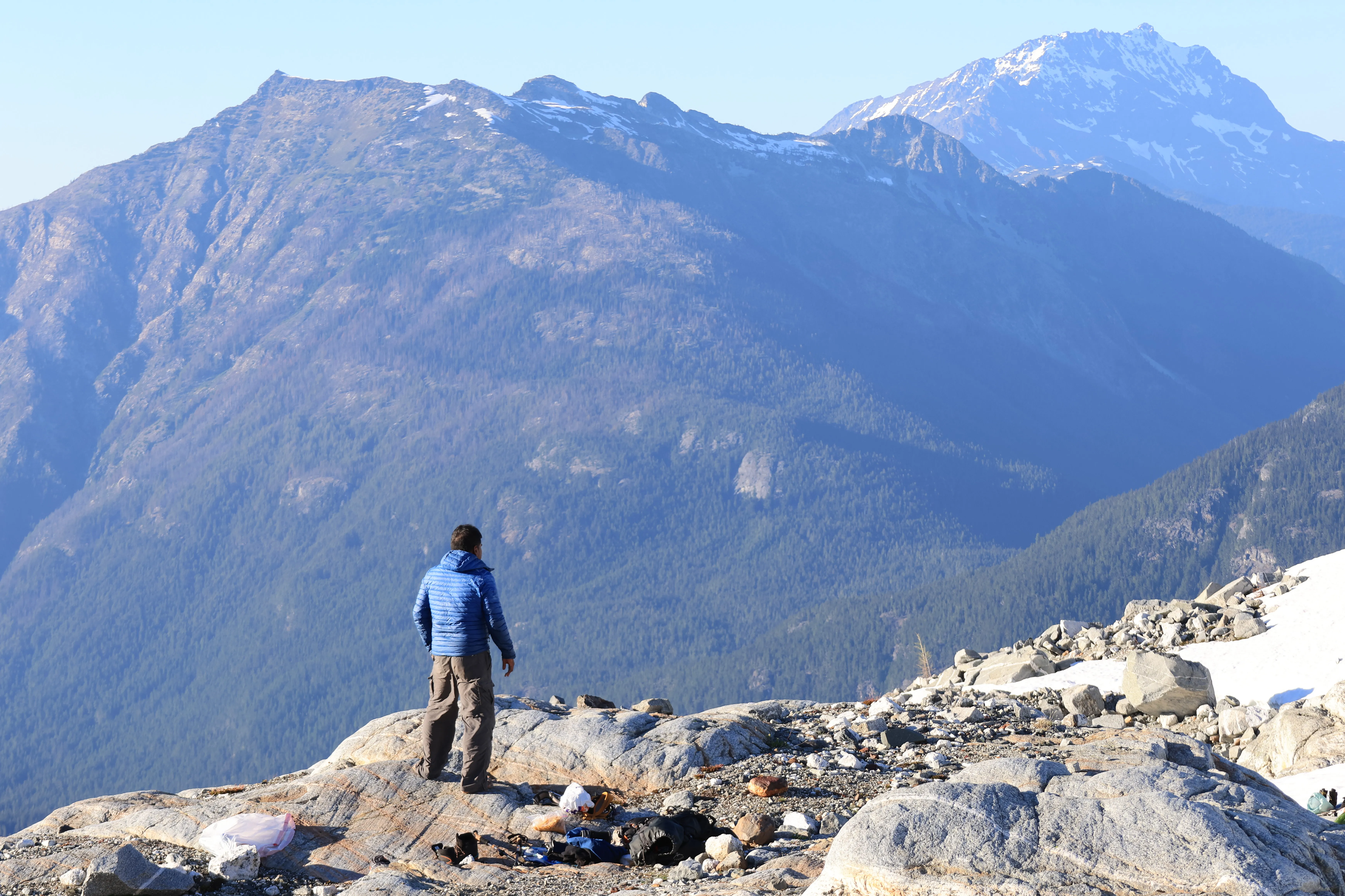
Sri getting settled at camp
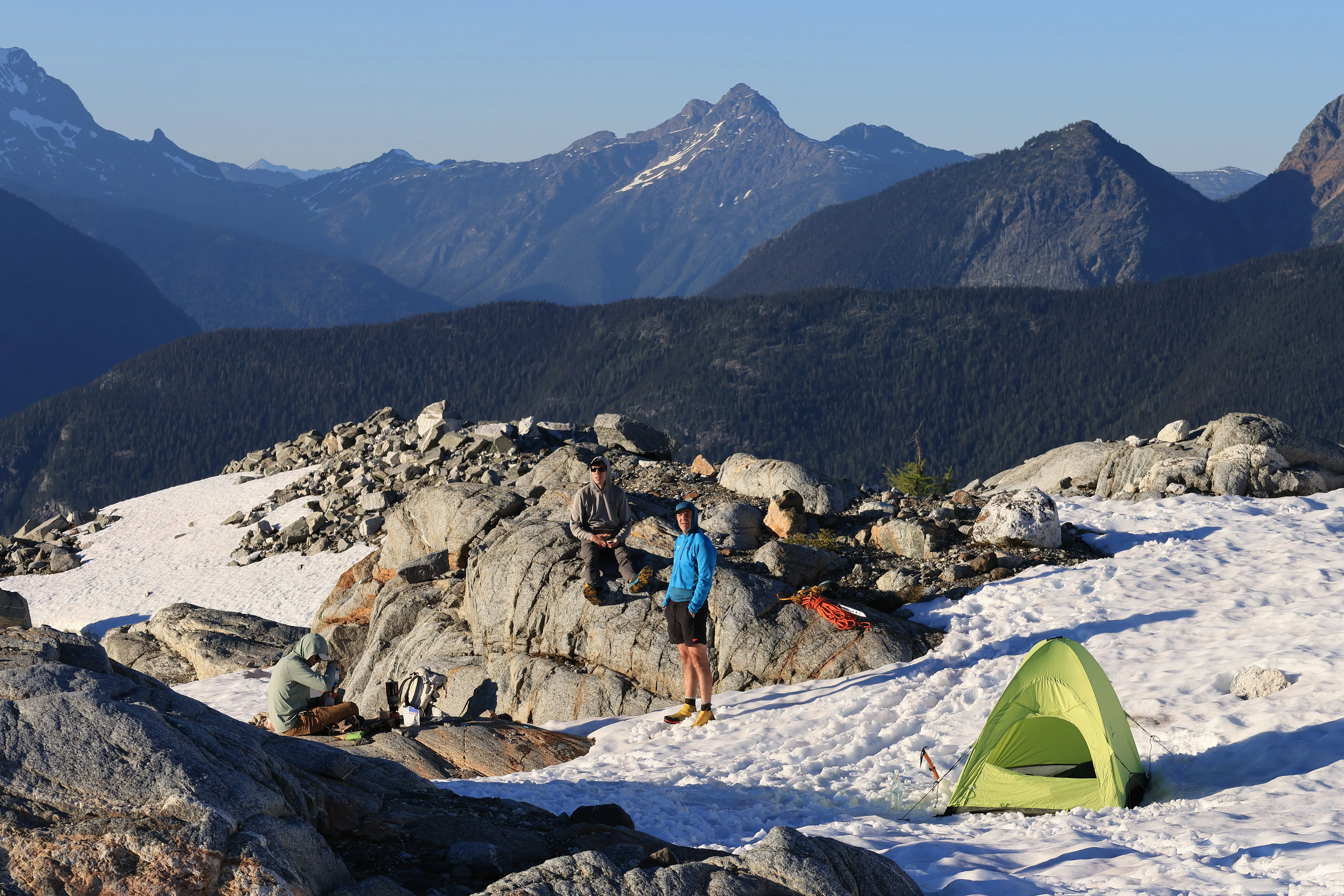
Sri, Jon, and Dan soaking up the camp sunset
The whole team settled in at high camp on the first night
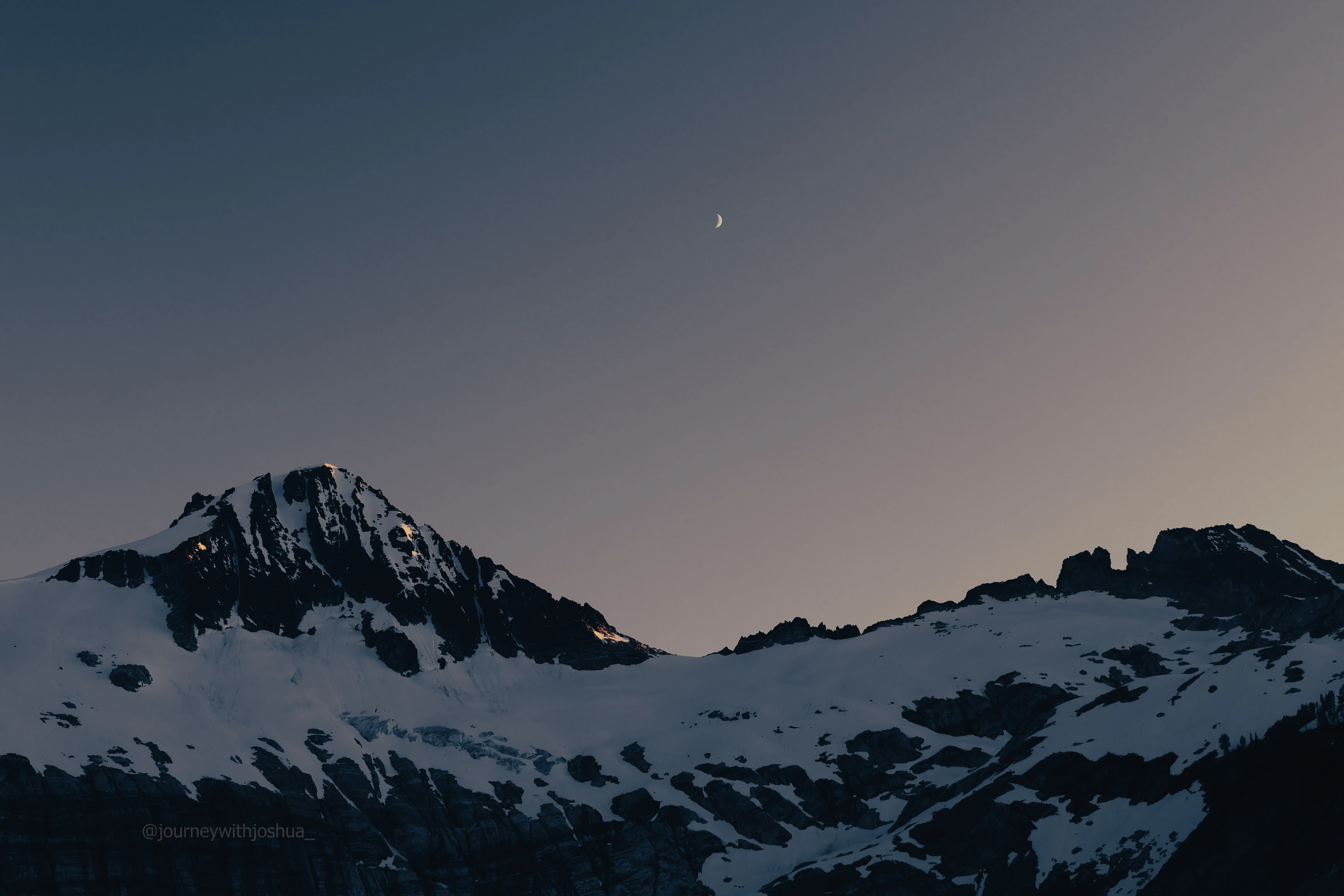
Moonrise over Primus from camp
Given all the bear scat on the way in, we were careful with food storage. We stowed everything scented in three Ursacks for the team overnight. Cheap insurance in a zone with this much wildlife, and not just for bears. We spotted several mice scurrying around camp, and those little guys will happily chew through a pack or a tent to get at your snacks. Bag it all up.
Summit Day: The Borealis Glacier
We took our time and slept a bit, alarms at 0415 and back on the climb by 0500. The sunrise over Borealis Lake and the peaks was unreal, light beams everywhere, vibes high. We were all in mountaineering boots now with ice axes out, still no crampons. The lack of freezing temps kept the snow nice and slushy, a stark contrast to the ice we could barely kick into on Shasta the month before.
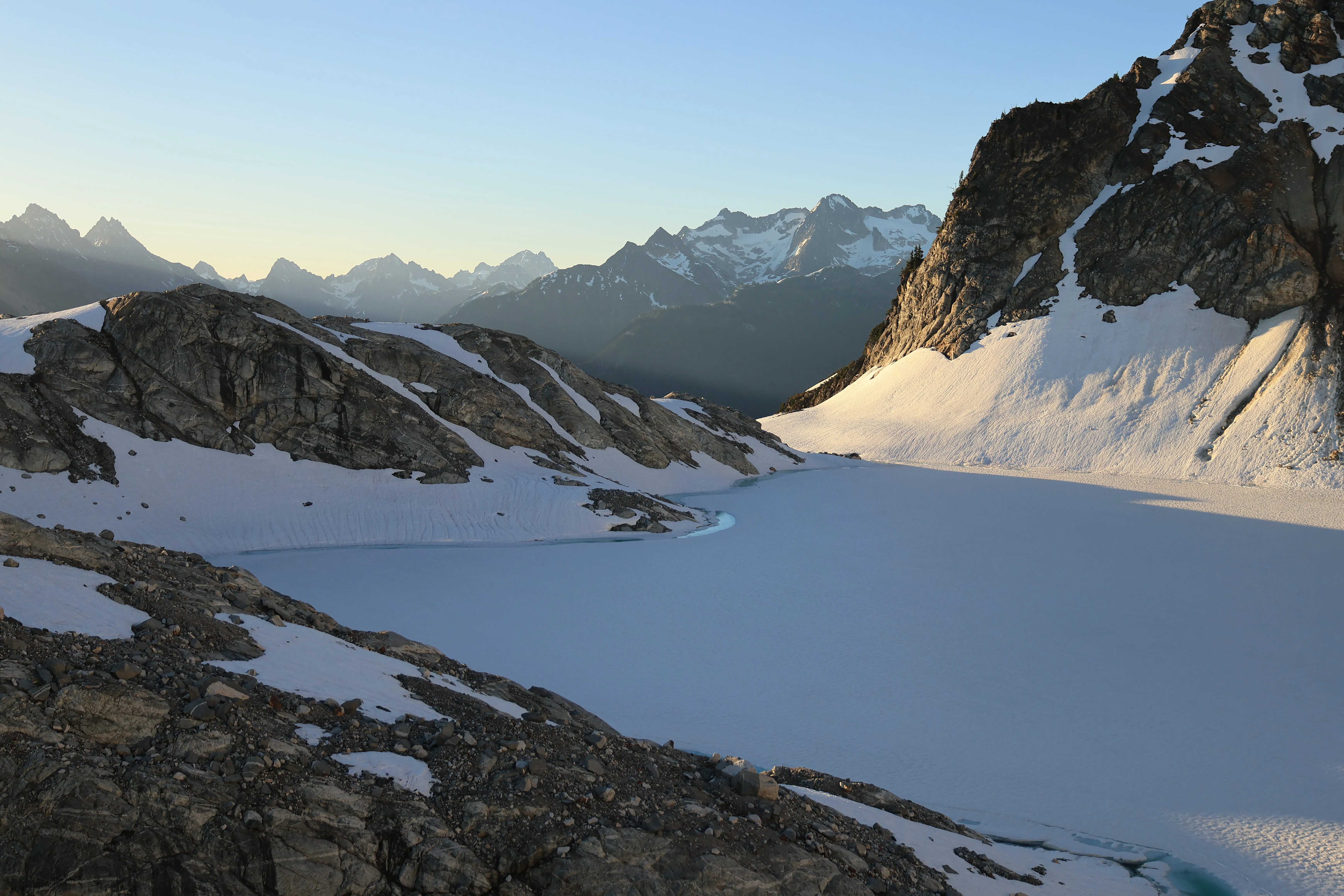
Sunrise over camp, Borealis Lake still sitting in its own shadow below
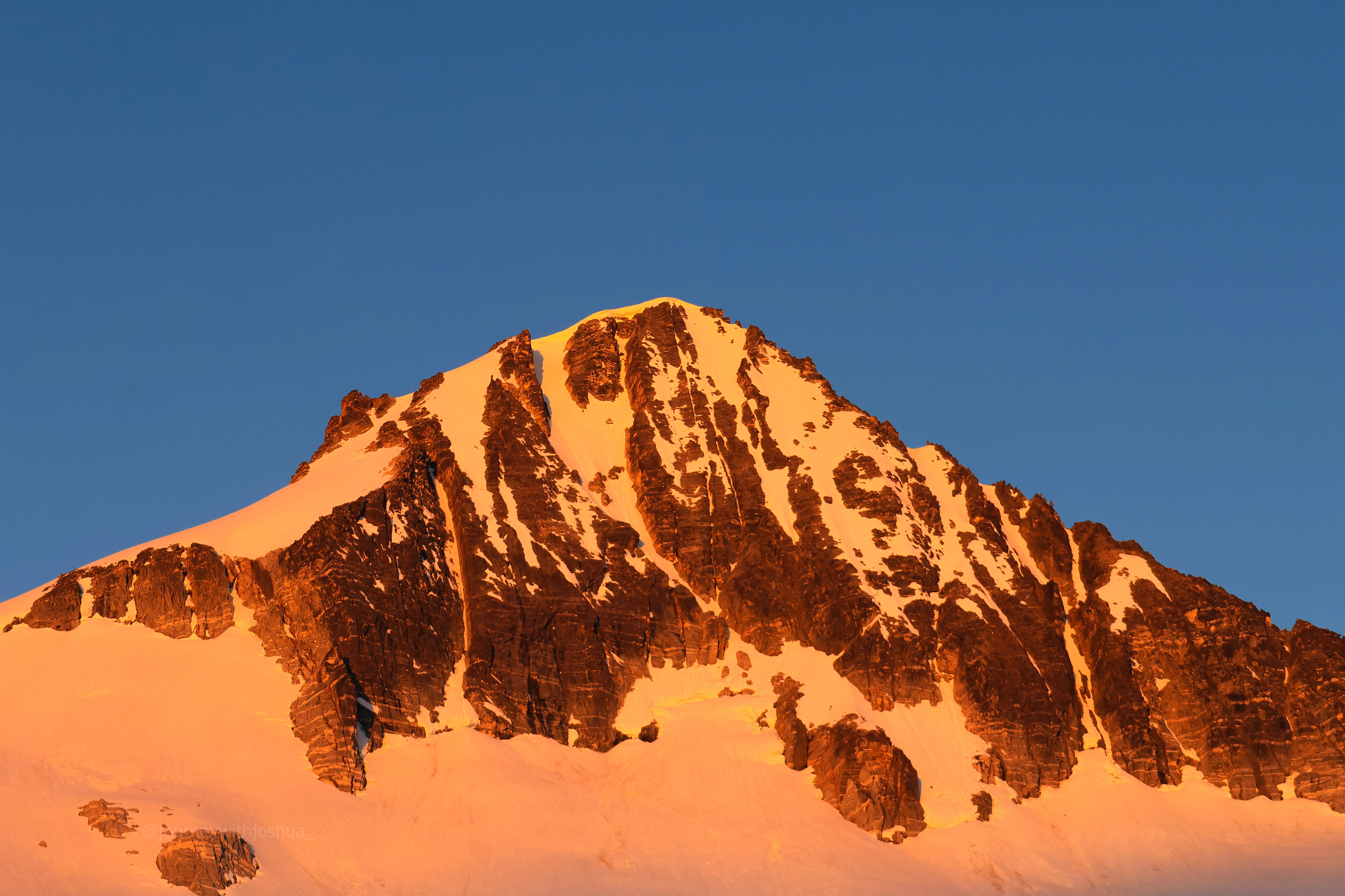
Alpenglow firing off on summit morning. The mountain welcomes us
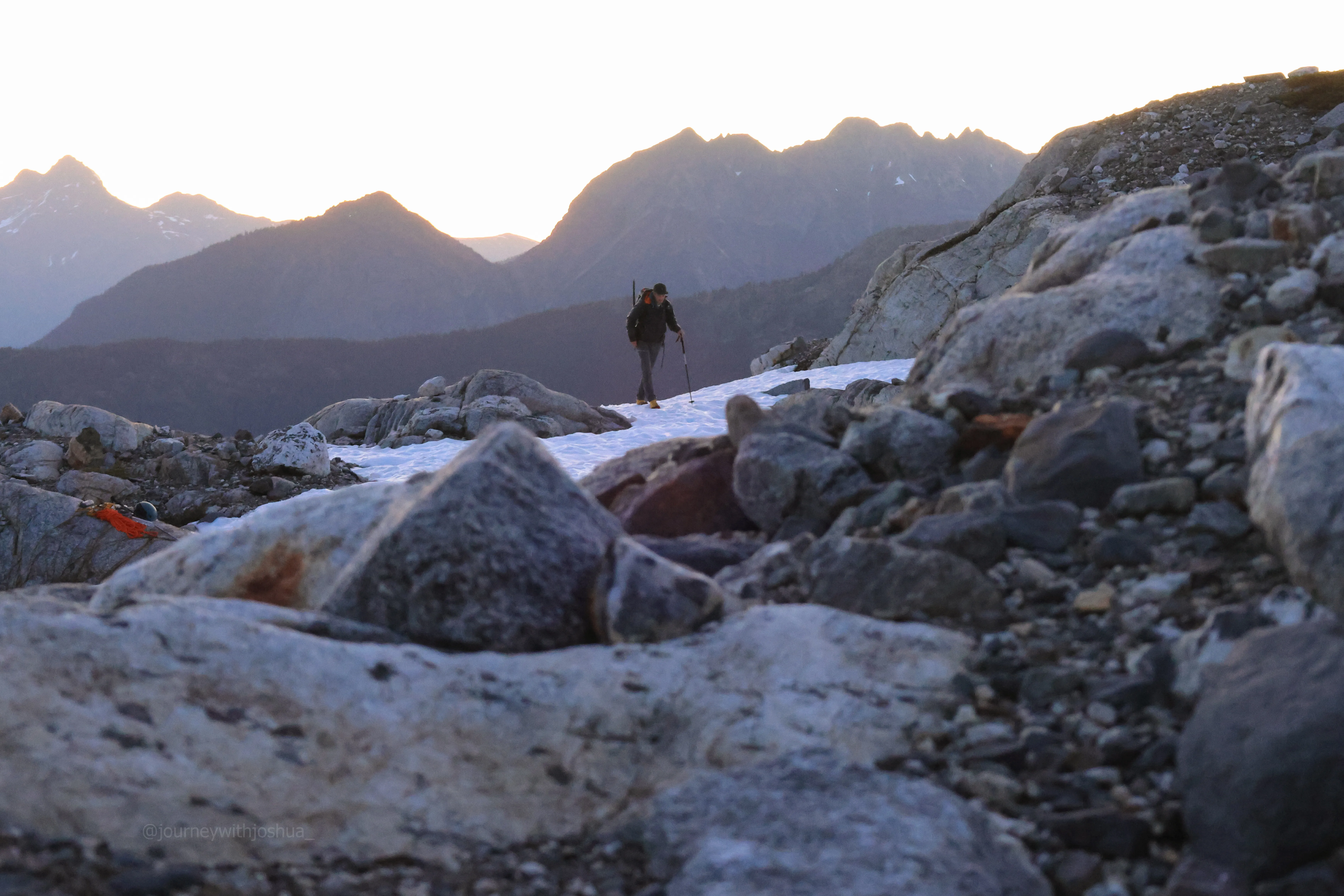
Chris walking over from his campsite as the sun came up on summit morning
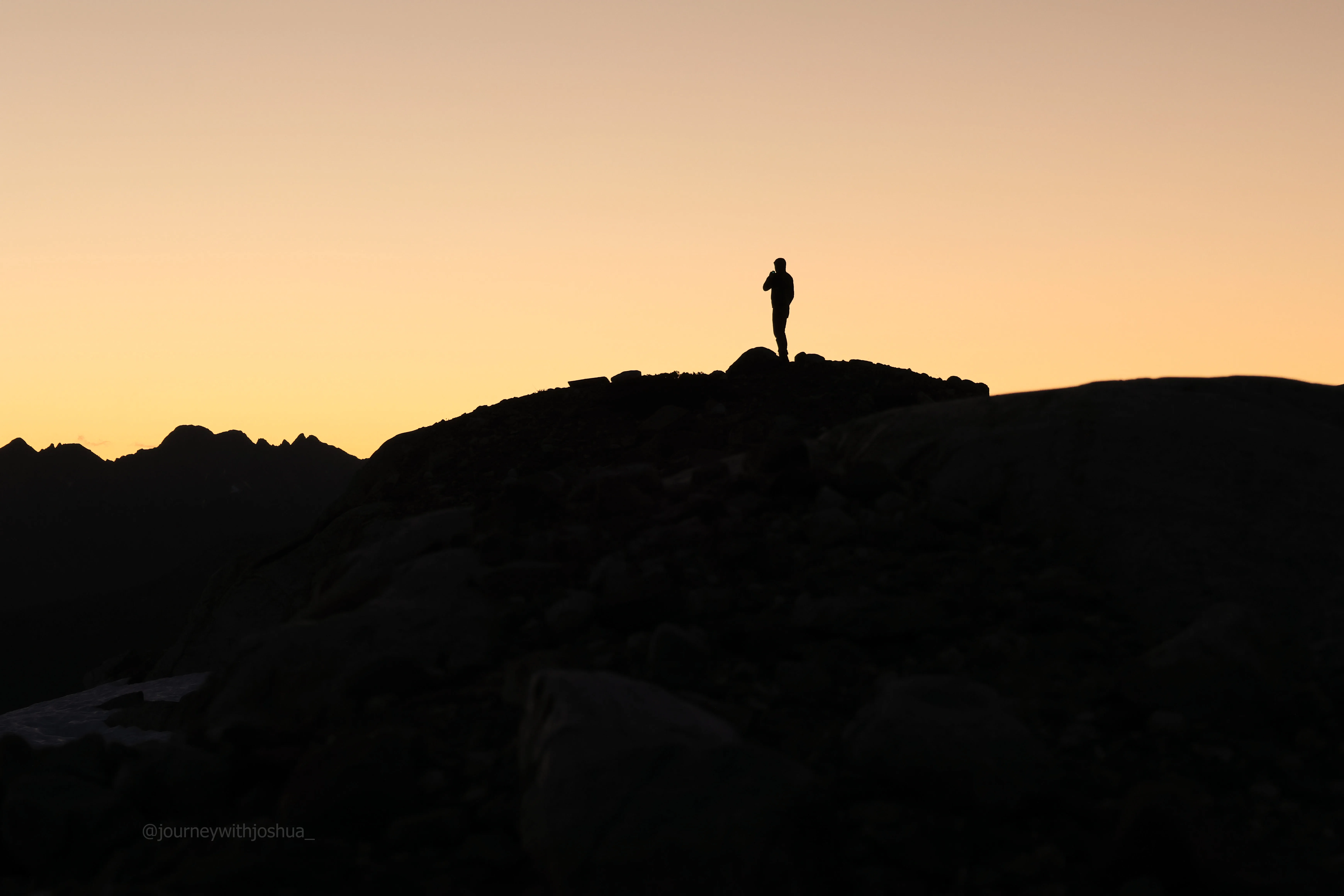
Dan getting his sunrise coffee in before the summit push
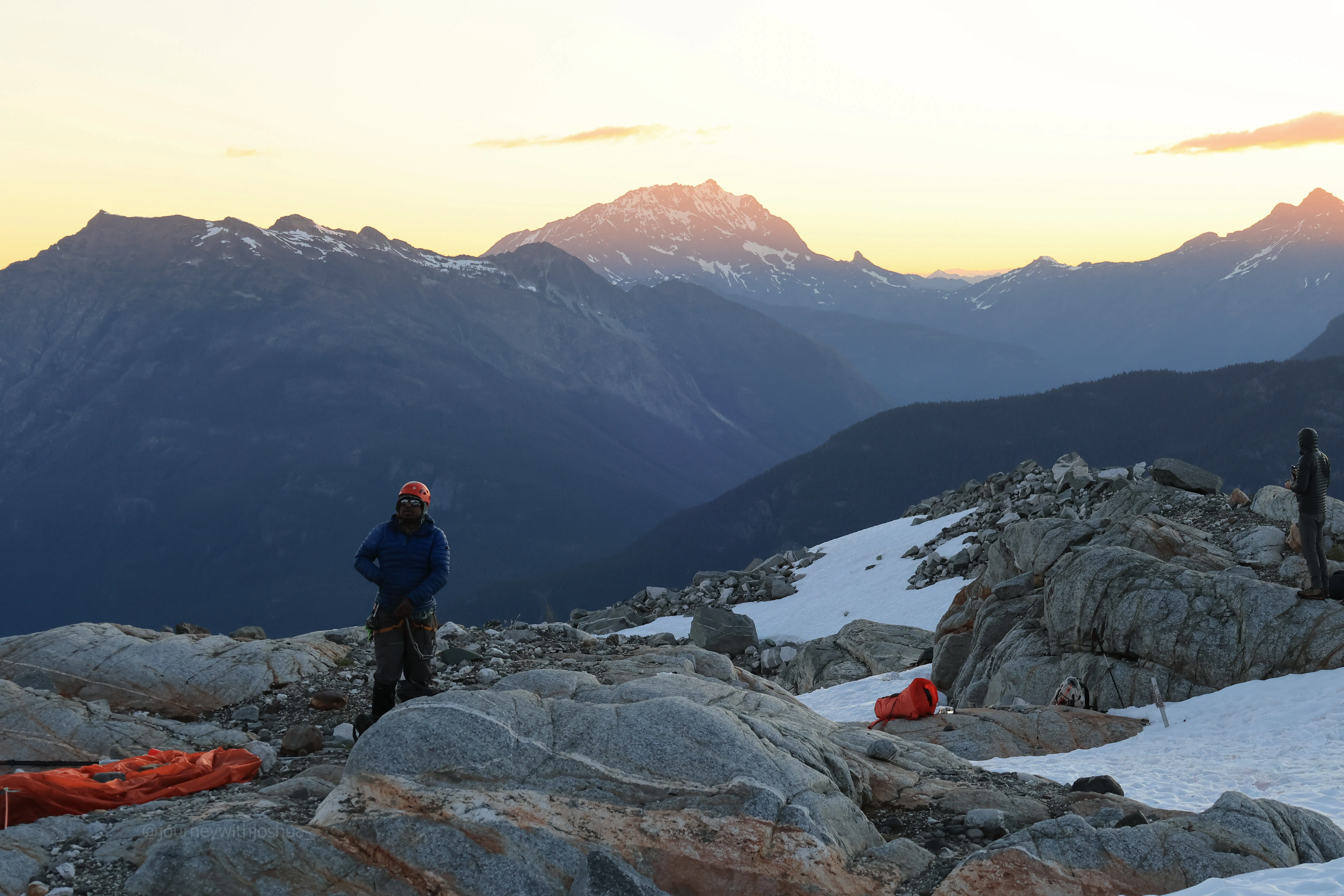
Sri geared up and ready to go
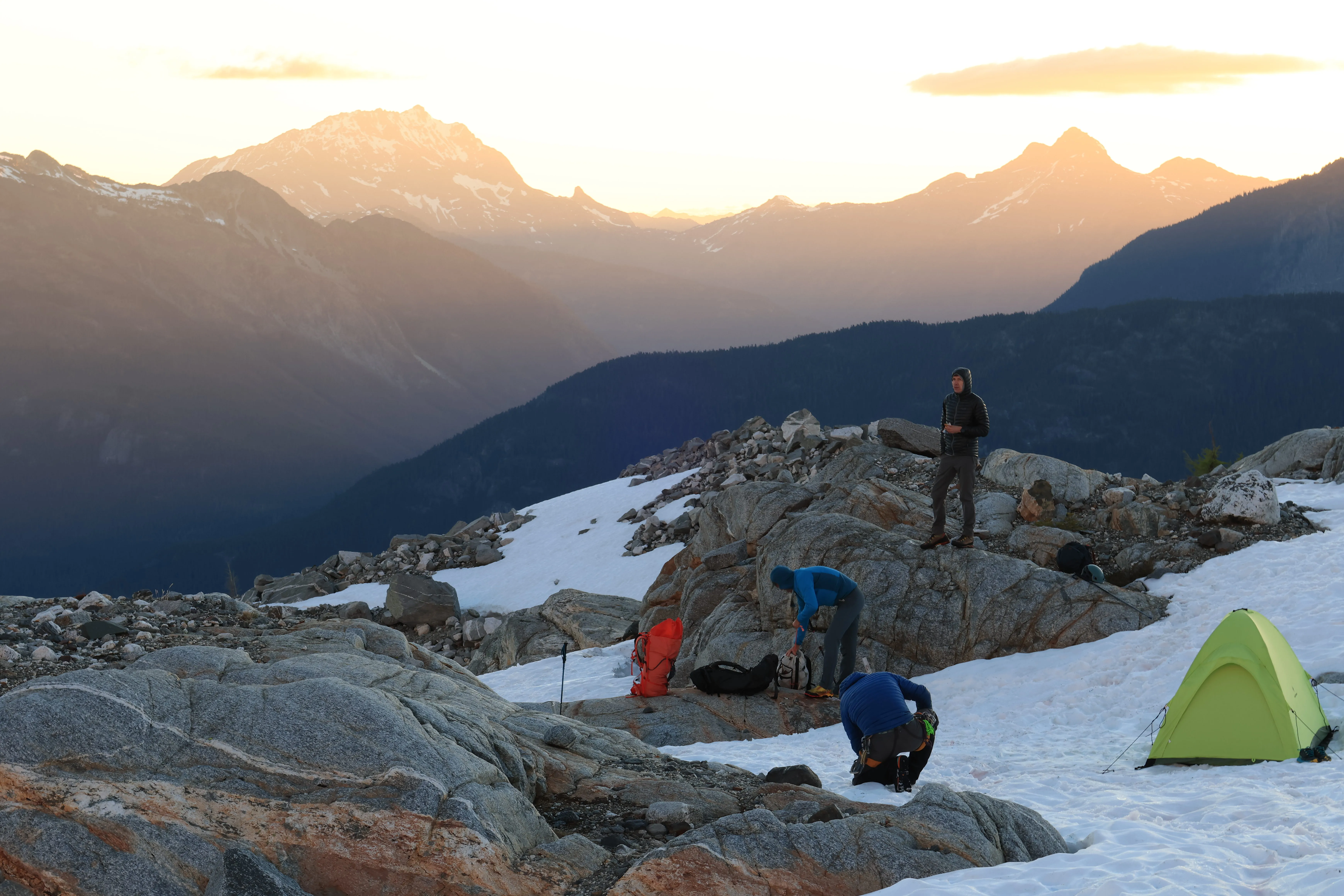
The whole crew, ready to roll for the summit
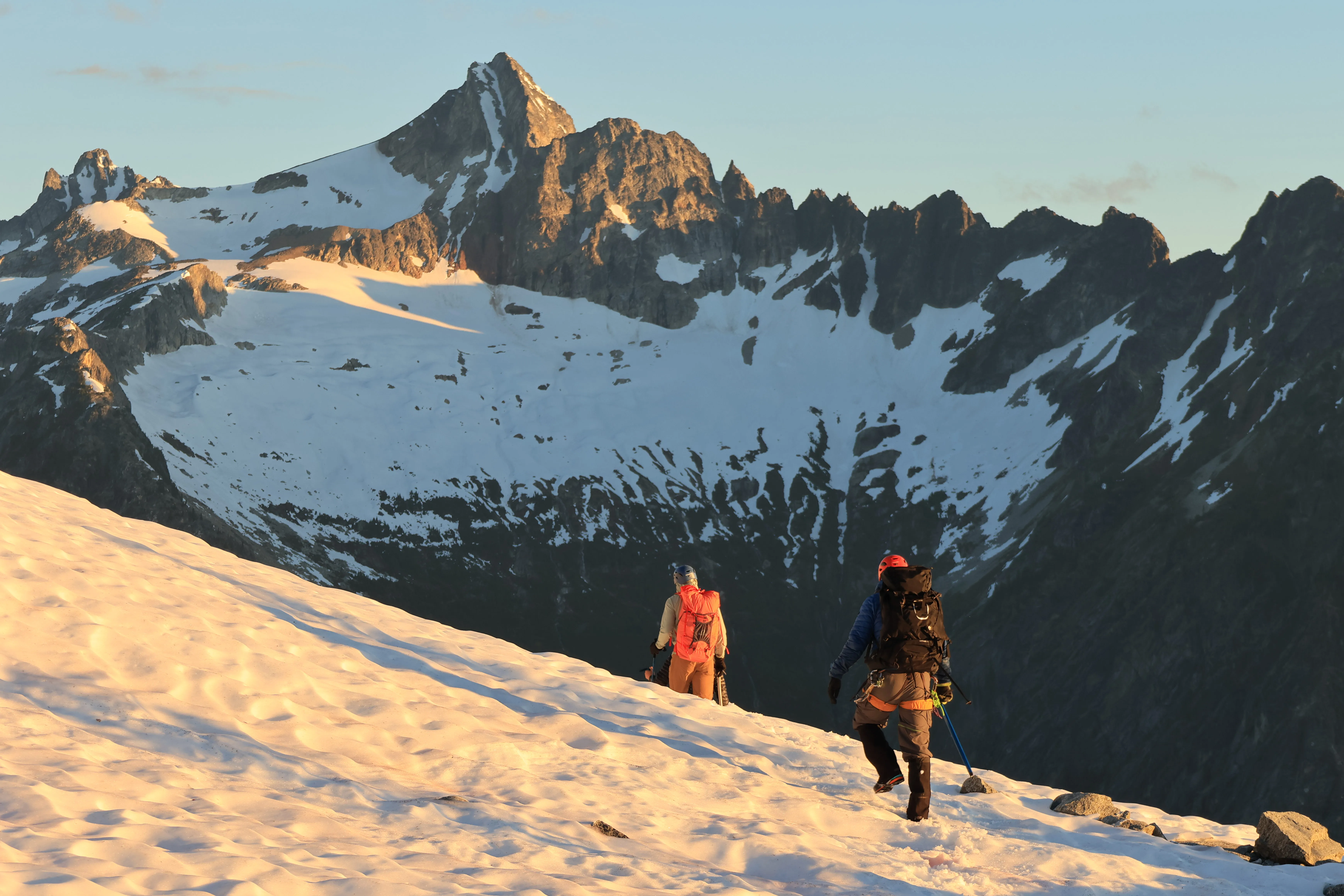
The team starting up from high camp, Snowfield watching over us
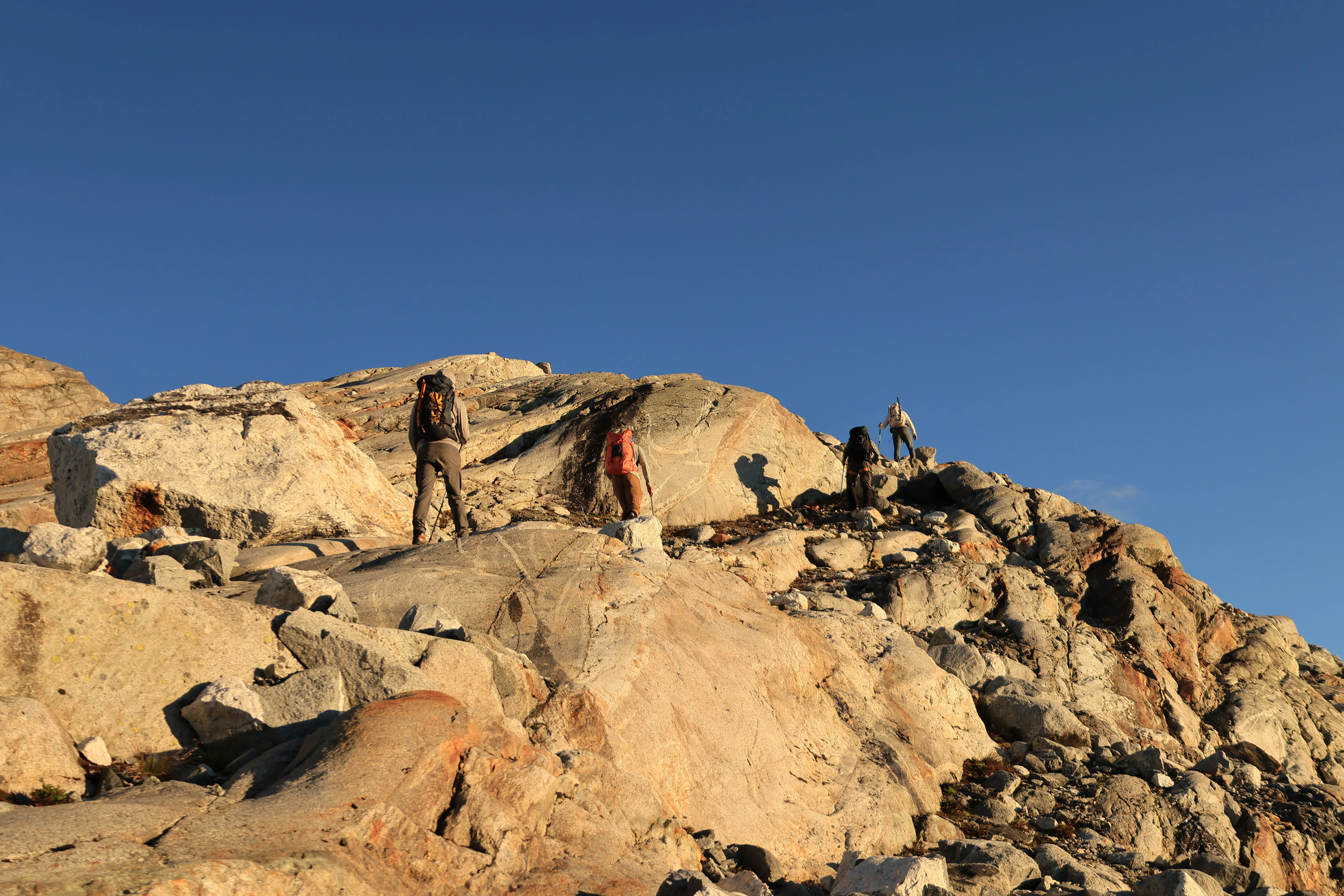
Early morning scrambles, no eggs included
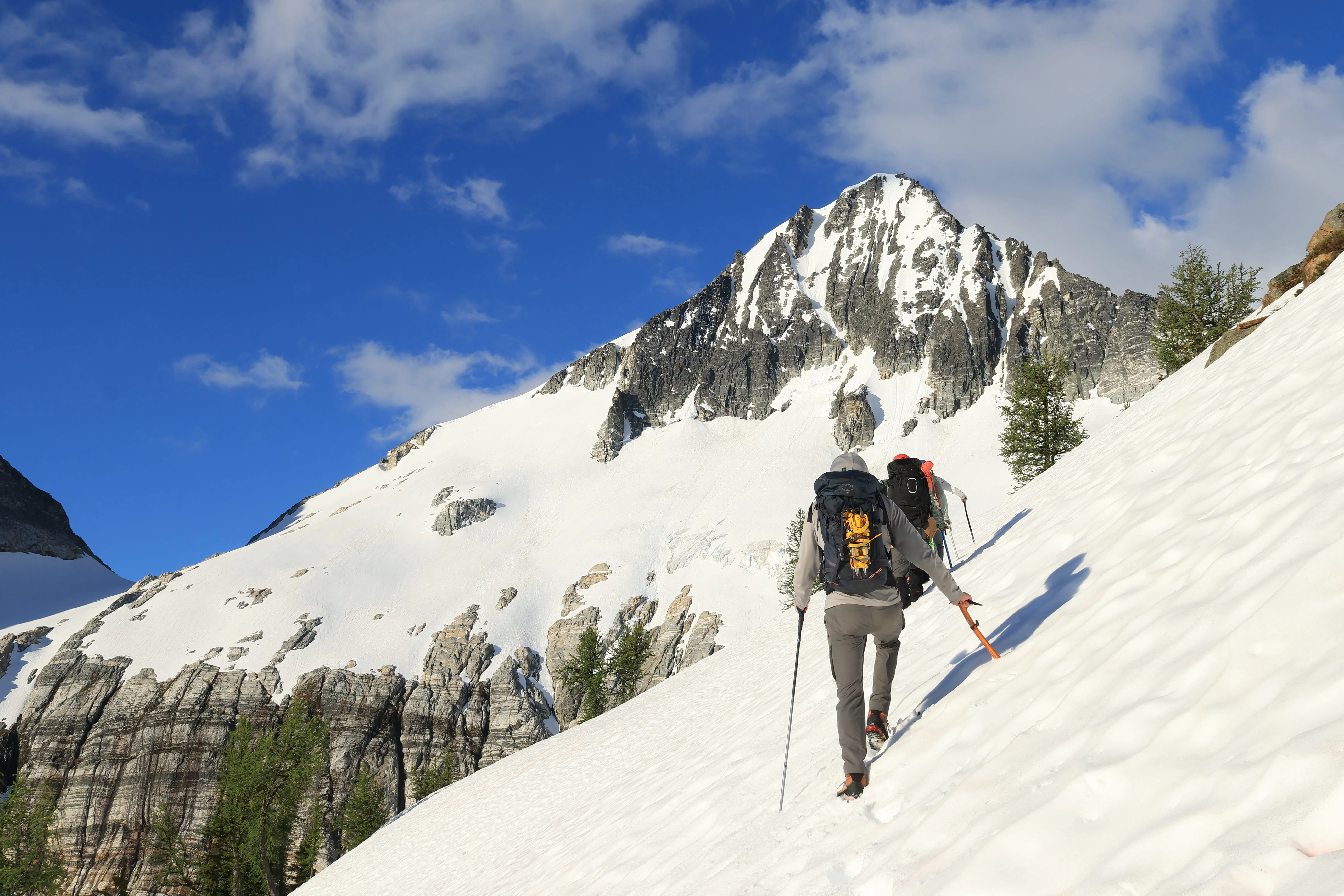
Approaching the Borealis Glacier
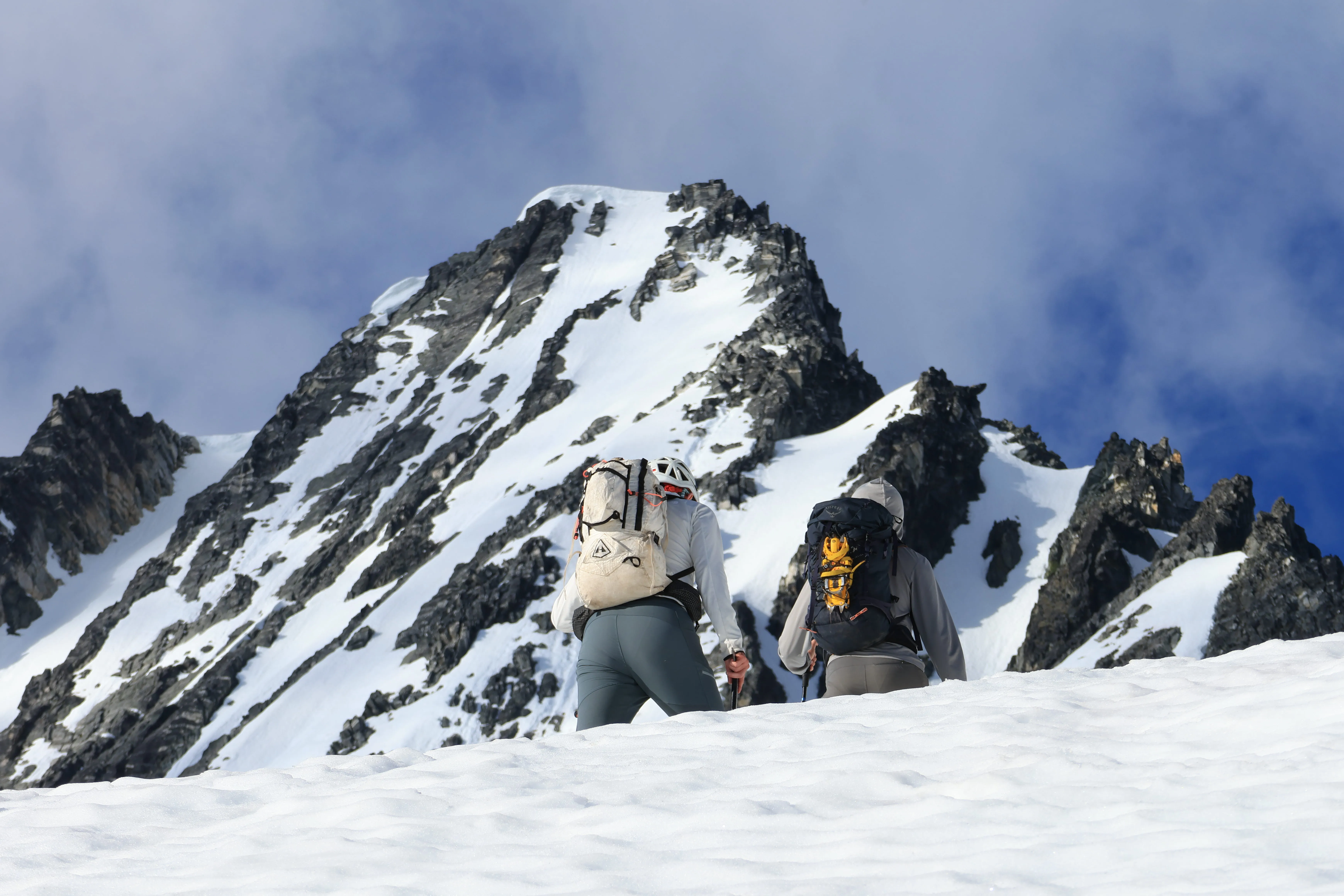
Locking in on the summit just before we roped up
Around 6,700 ft there’s a corniced edge to watch. You’ll see it, just don’t walk close or you’ll go for a ride in all that heat. We had several postholes by rocks and moats on the way up, so be aware of the melt underneath and stay clear of rocks. Around 7,000 ft we roped up on a flat snow shelf. I was on a two-man team with Chris, and Dan led a three-person team. Two 30m ropes for the five of us.
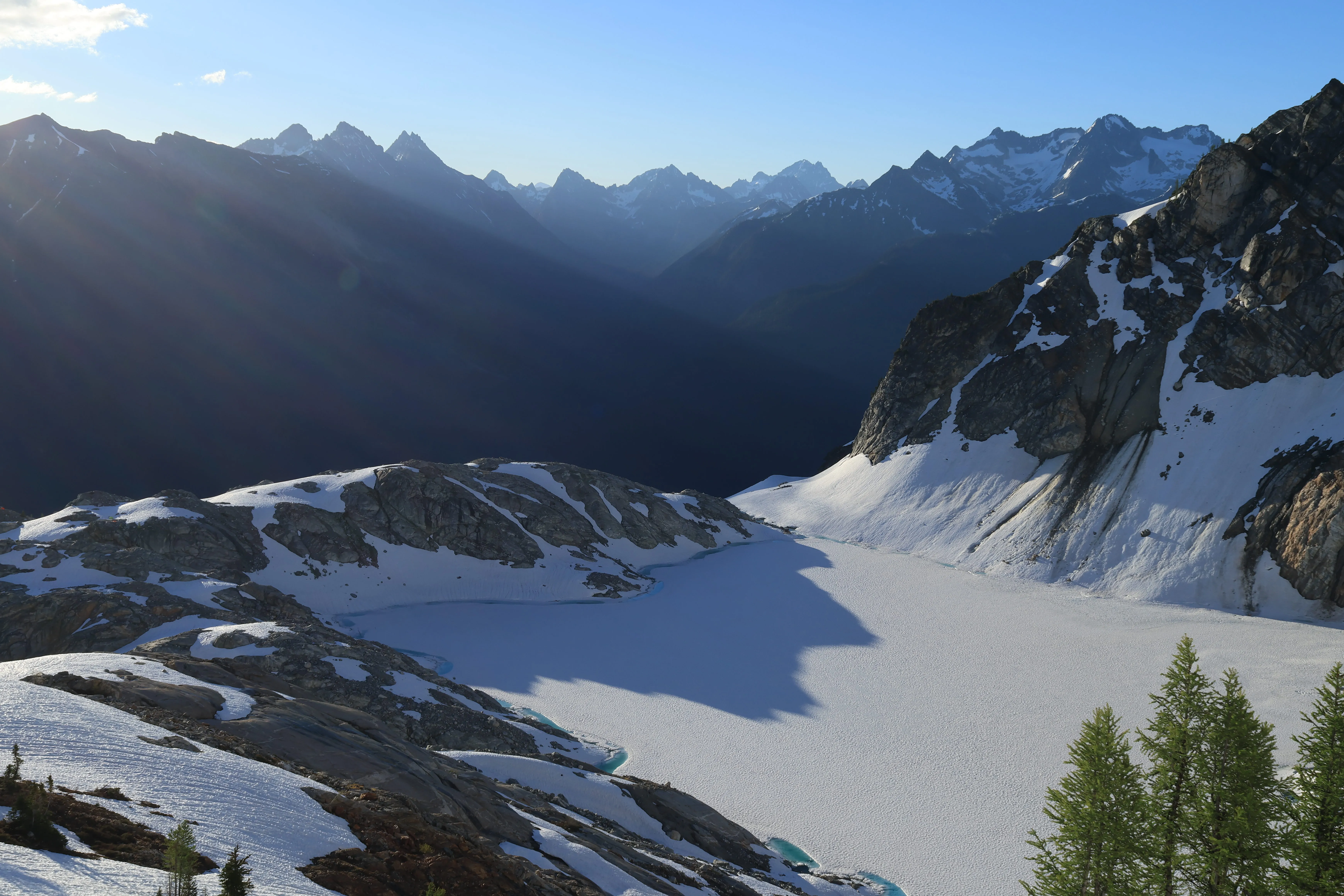
Looking back at sunrise over Borealis Lake from up on the glacier
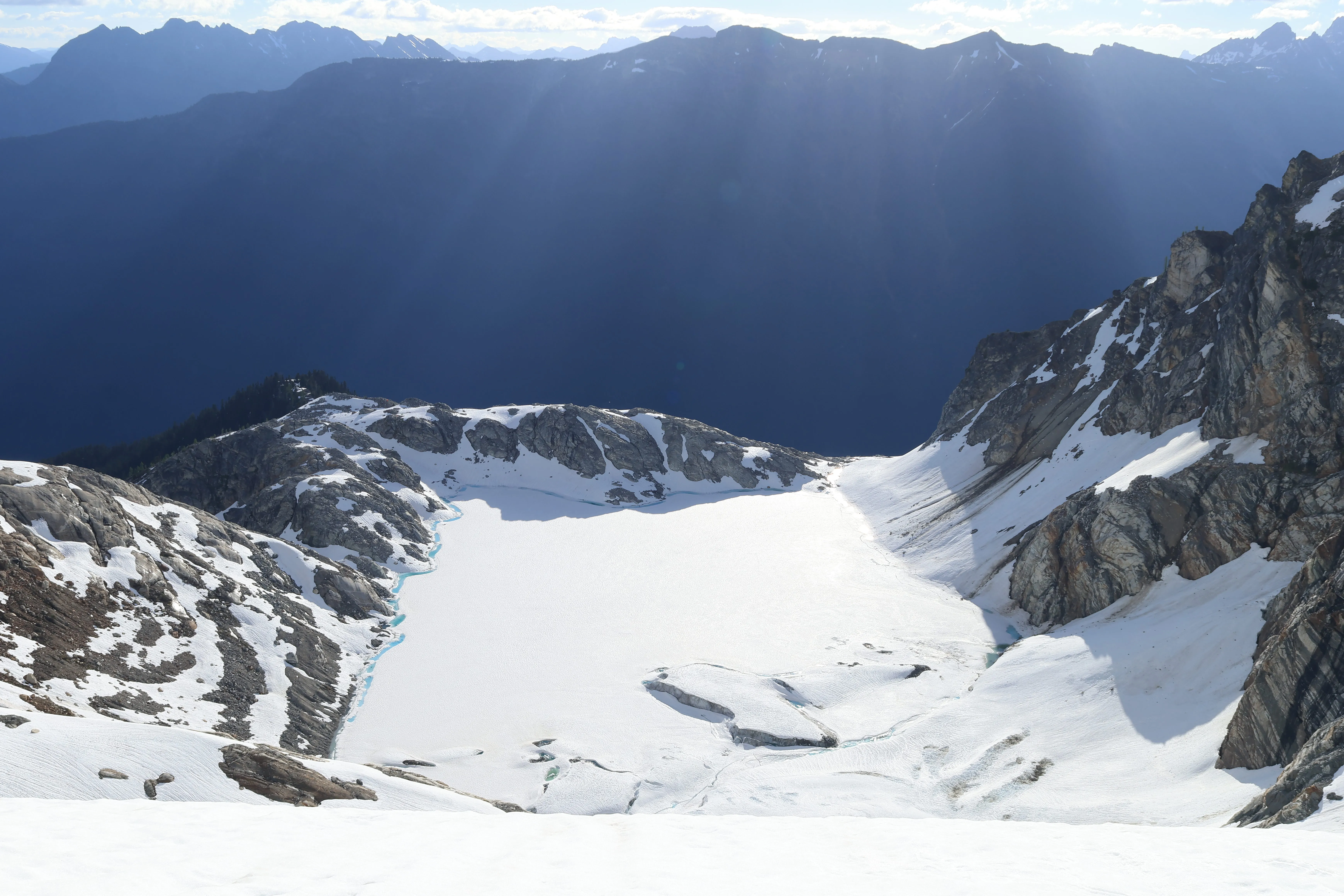
Unbelievable light rays pouring over Borealis Lake
From there we could see the crevasses opening up, several near the peak above and more down by the steep cliff bands. We traversed the glacier through the gap and under the big rock across the way (there’s a sizable moat forming there too, so mind it as the season goes on). No issues, and we made it over to Lucky Pass, around 7,200 ft, and ditched the ropes.
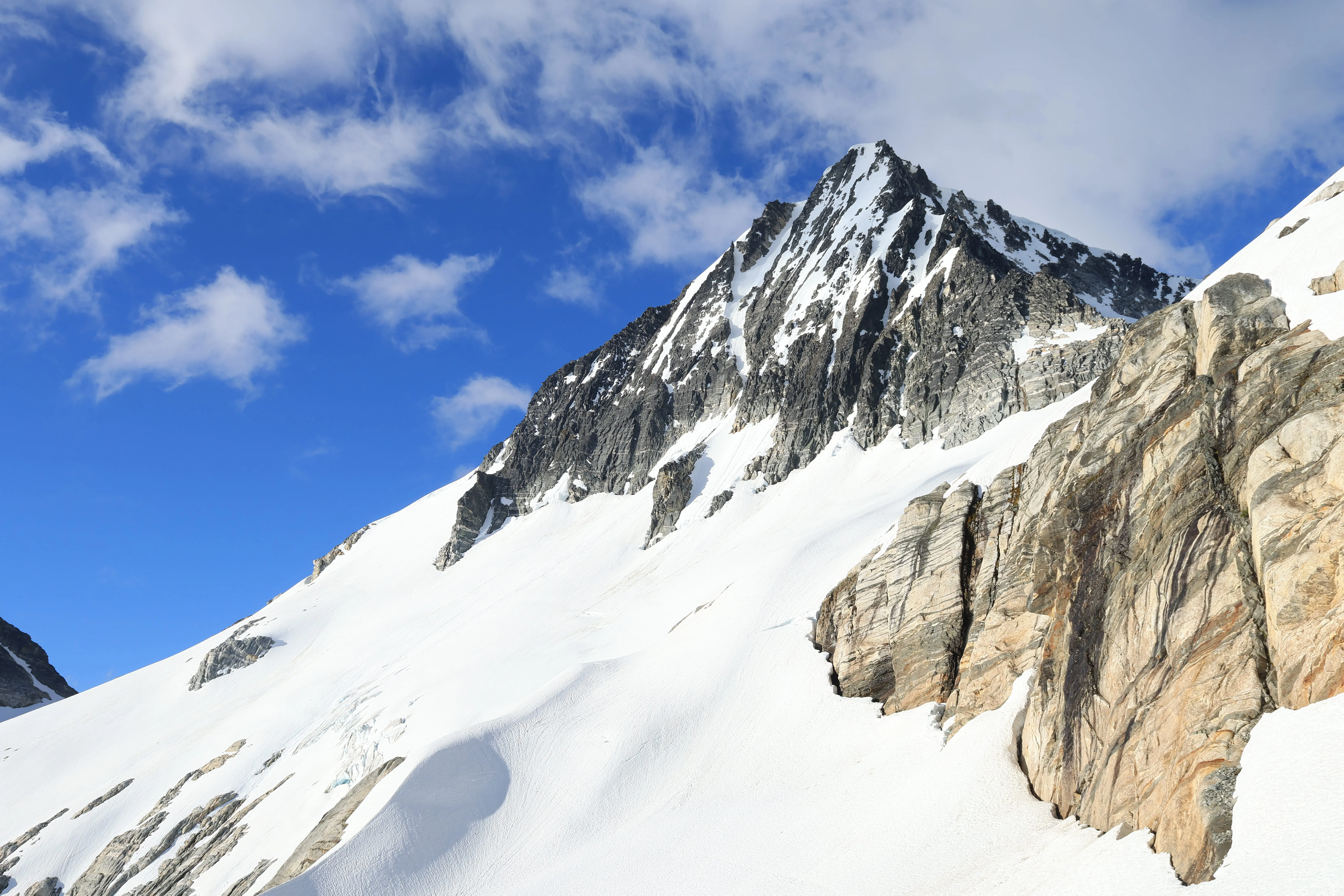
Crevasses opening up on the Borealis, Primus standing over the top
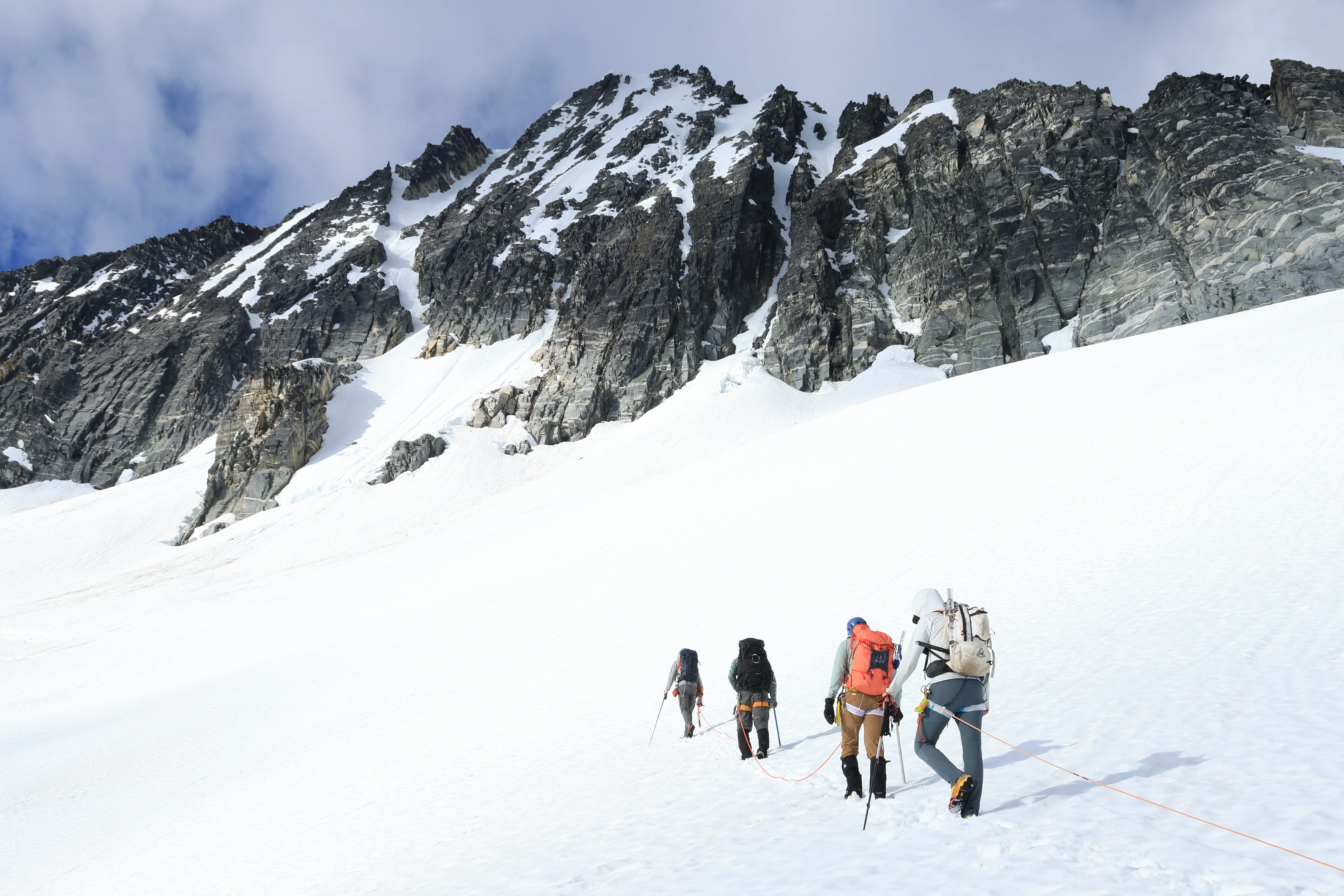
Roped up and marching across the Borealis toward Lucky Pass
The view off the far side of the pass is one of the best I’ve ever seen, with the Torment-Forbidden Traverse stacked in the distance, plus Sahale, Boston, Buckner, Austera, and the gorgeous frozen Klawatti Lake below.
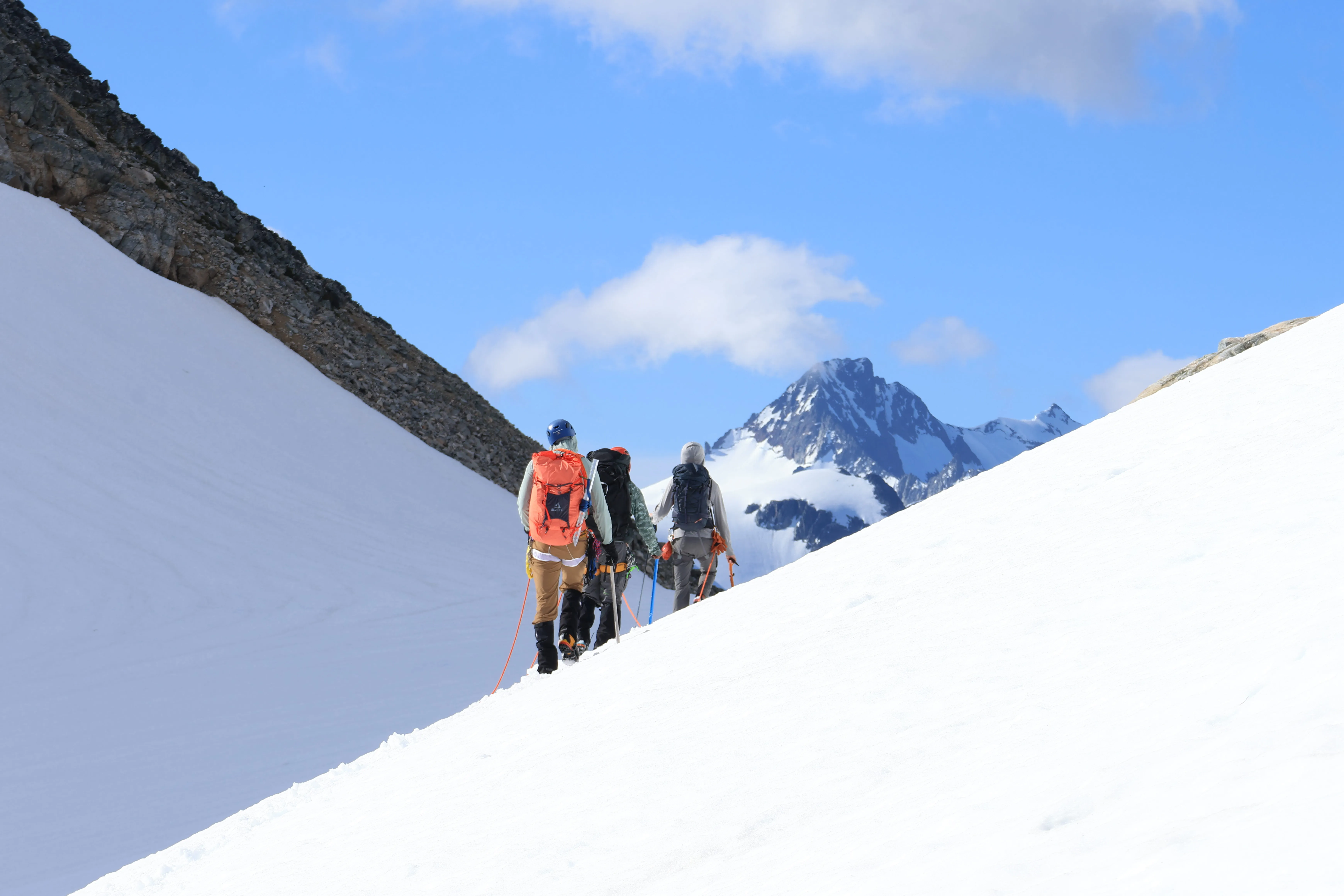
Entering Lucky Pass, Boston and Sahale peeking around the corner
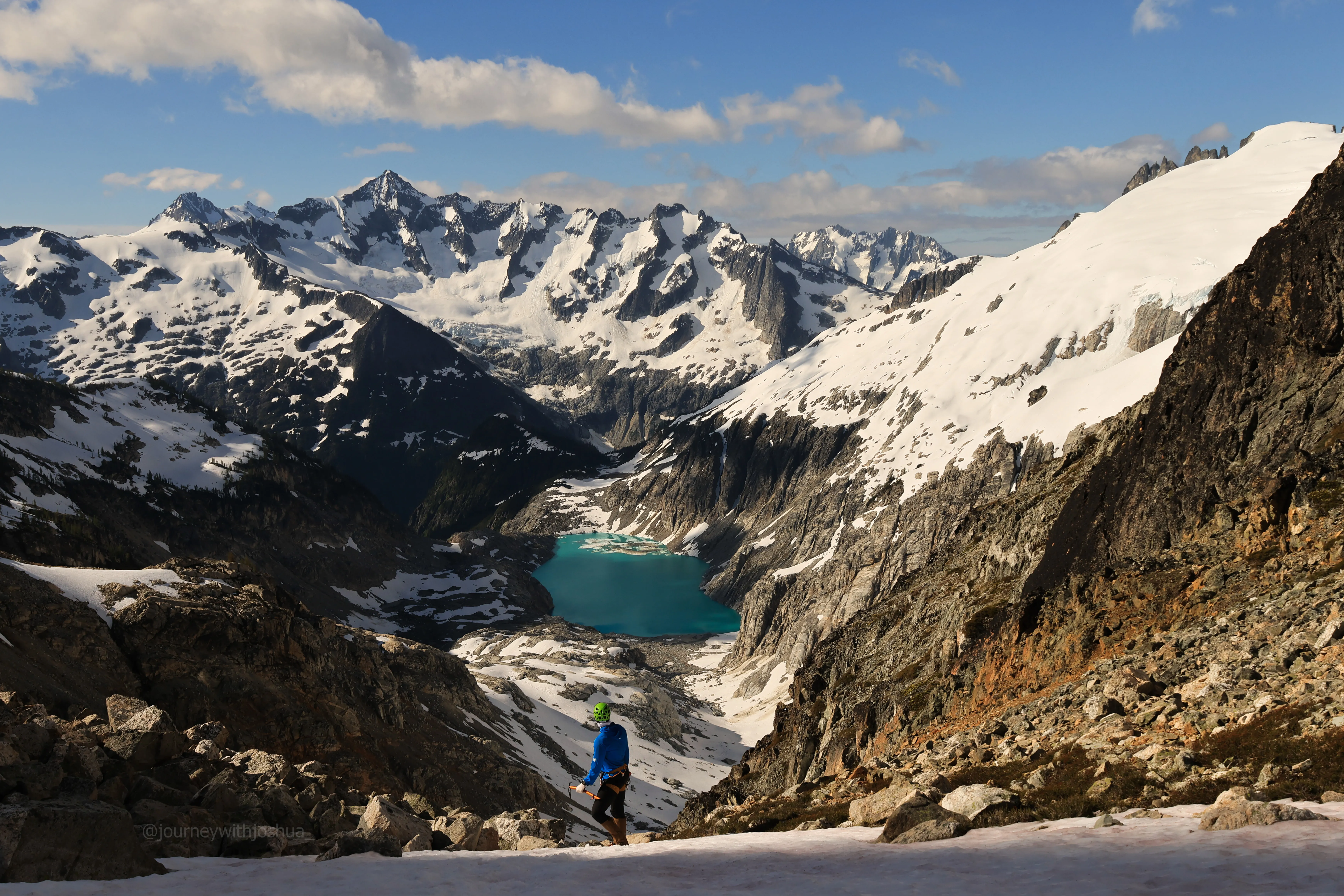
The view from Lucky Pass. Klawatti Lake below and a wall of peaks beyond. One of the best I’ve ever stood in front of
The Summit
After a healthy round of photos, we started the final push. Primus tops out around 8,508 ft, so we had roughly 1,250 ft to go. Some of it is class 2 scrambling, some is easy snow stepping. We came up to what I’d call the false summit face around 8,270 ft and traversed climber’s left around it. That’s the move. Skip it and you’re staring at steeper snow that doesn’t actually take you to the true summit. Swing left and it’s some steep snow and good kicking to the top.
We topped out as a full party around 1030, about five hours from camp. Our pace was mellow and we were making great time.
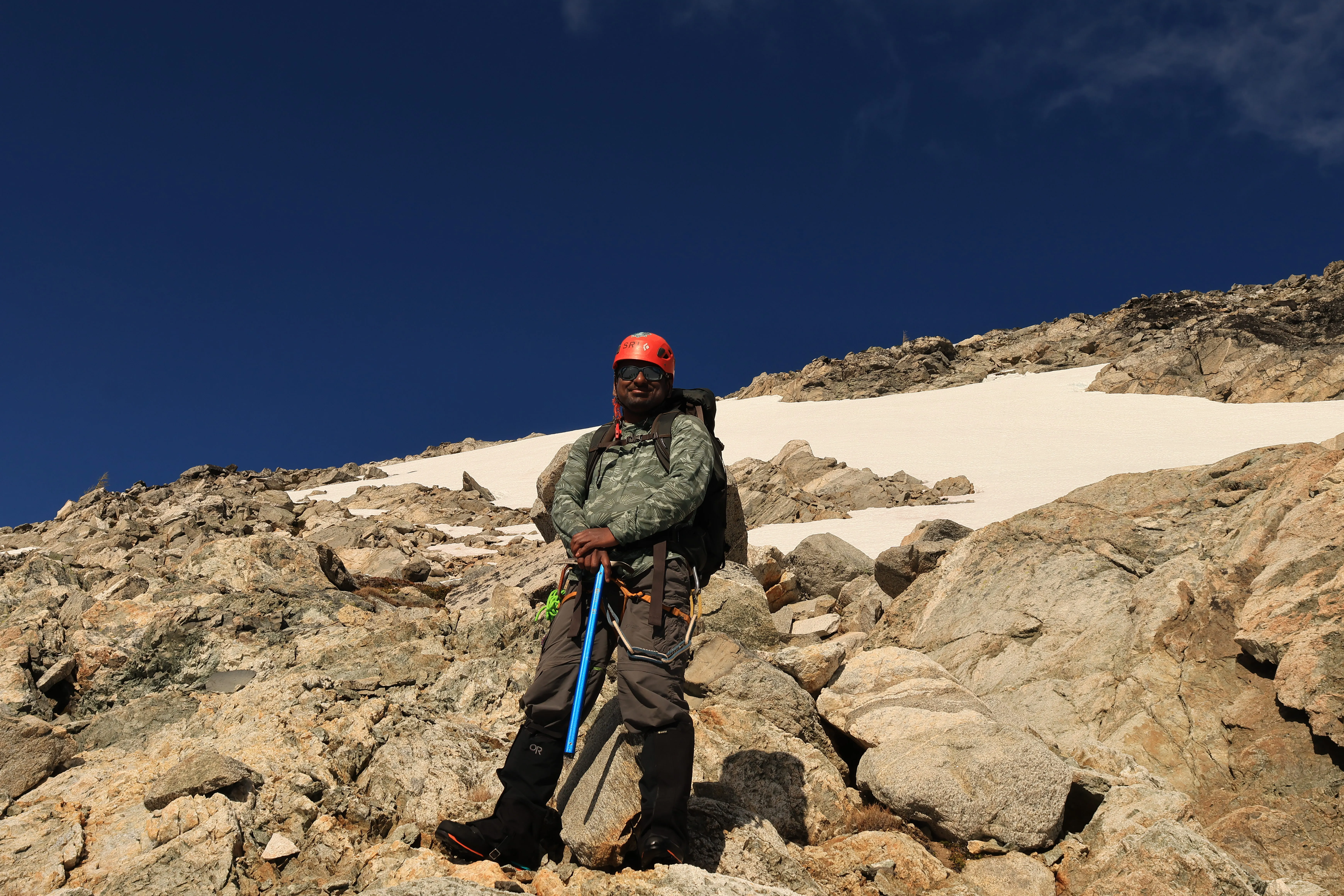
Sri with a full case of summit fever on the final push
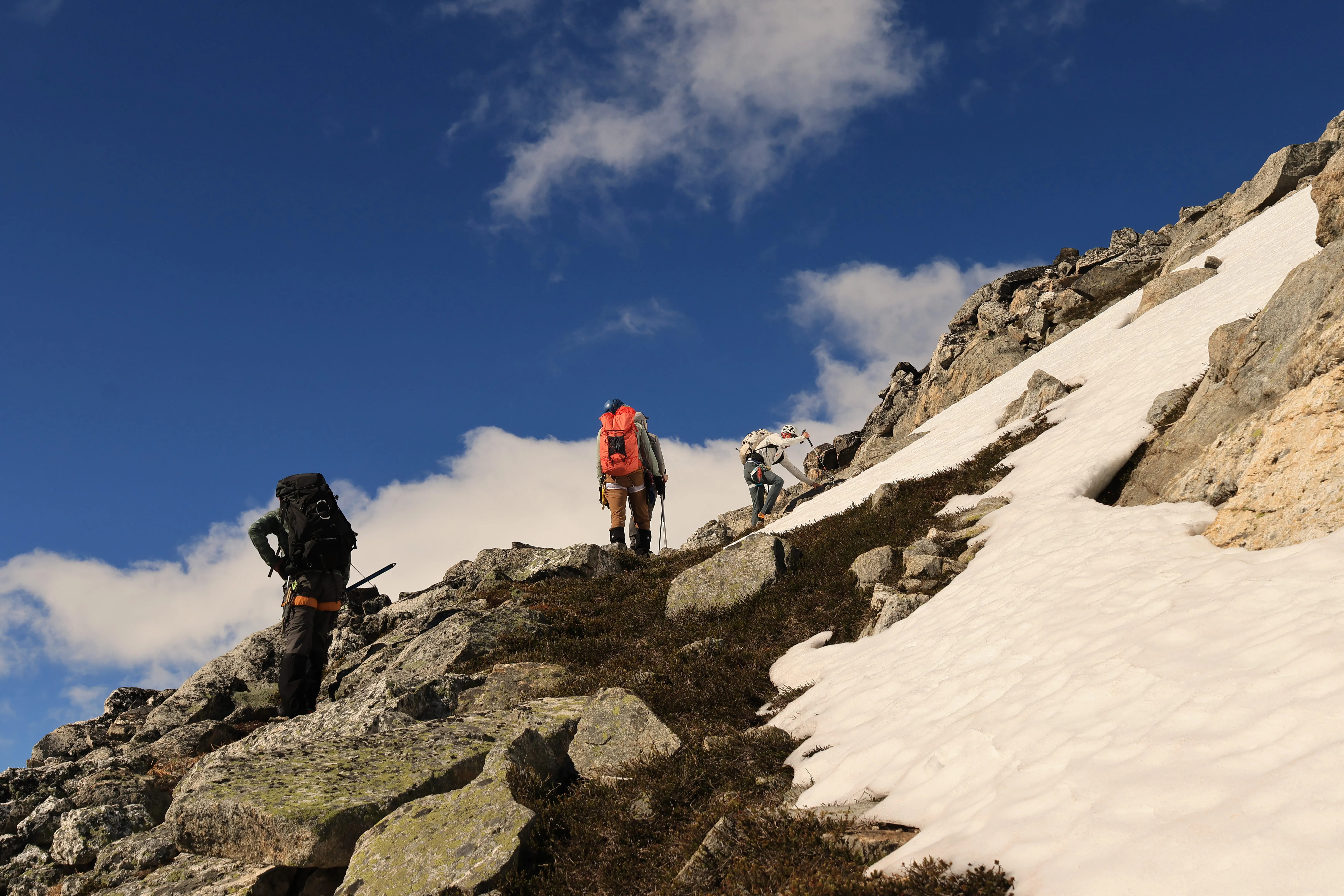
The last scramble begins
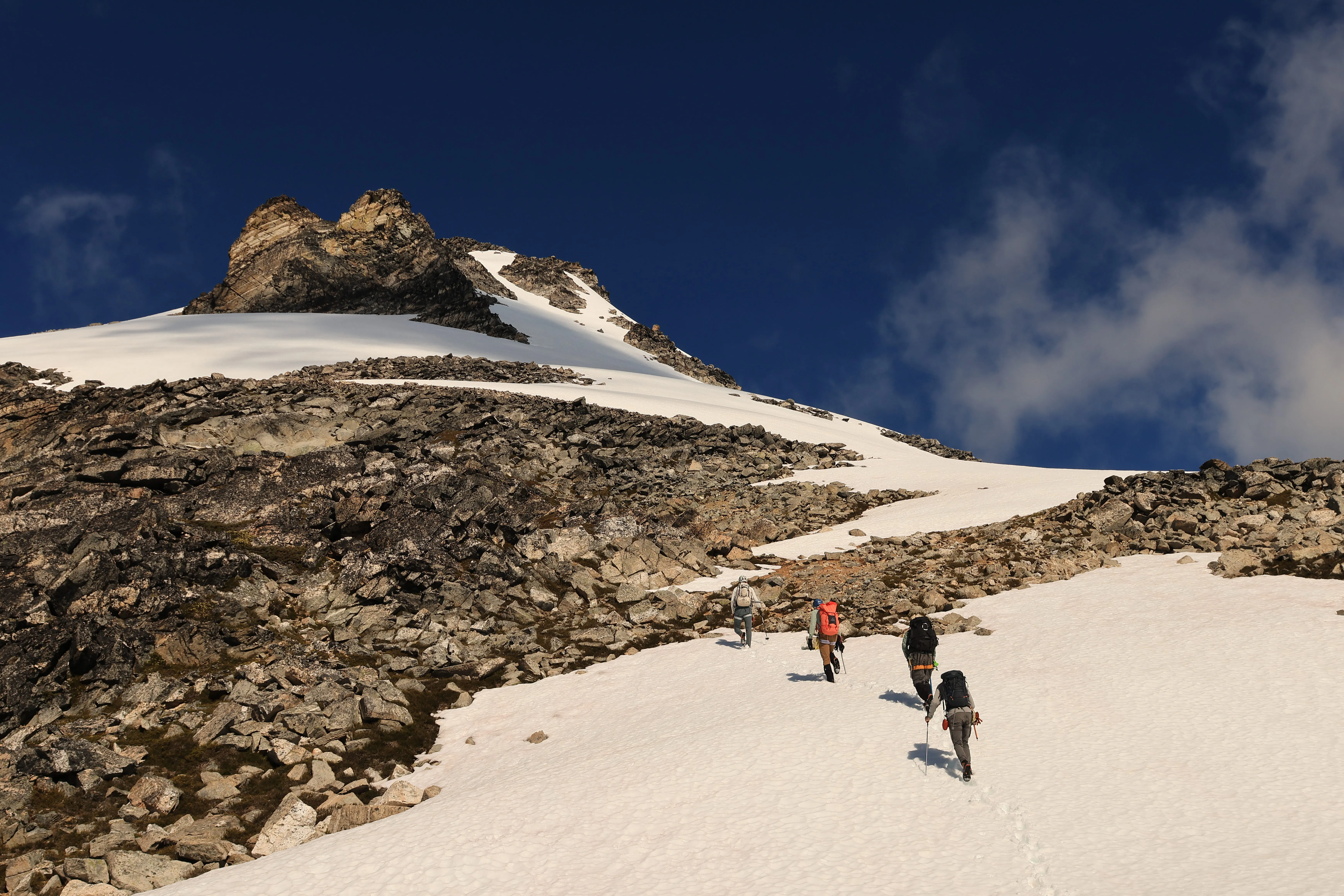
Team moving up to the final steep snow
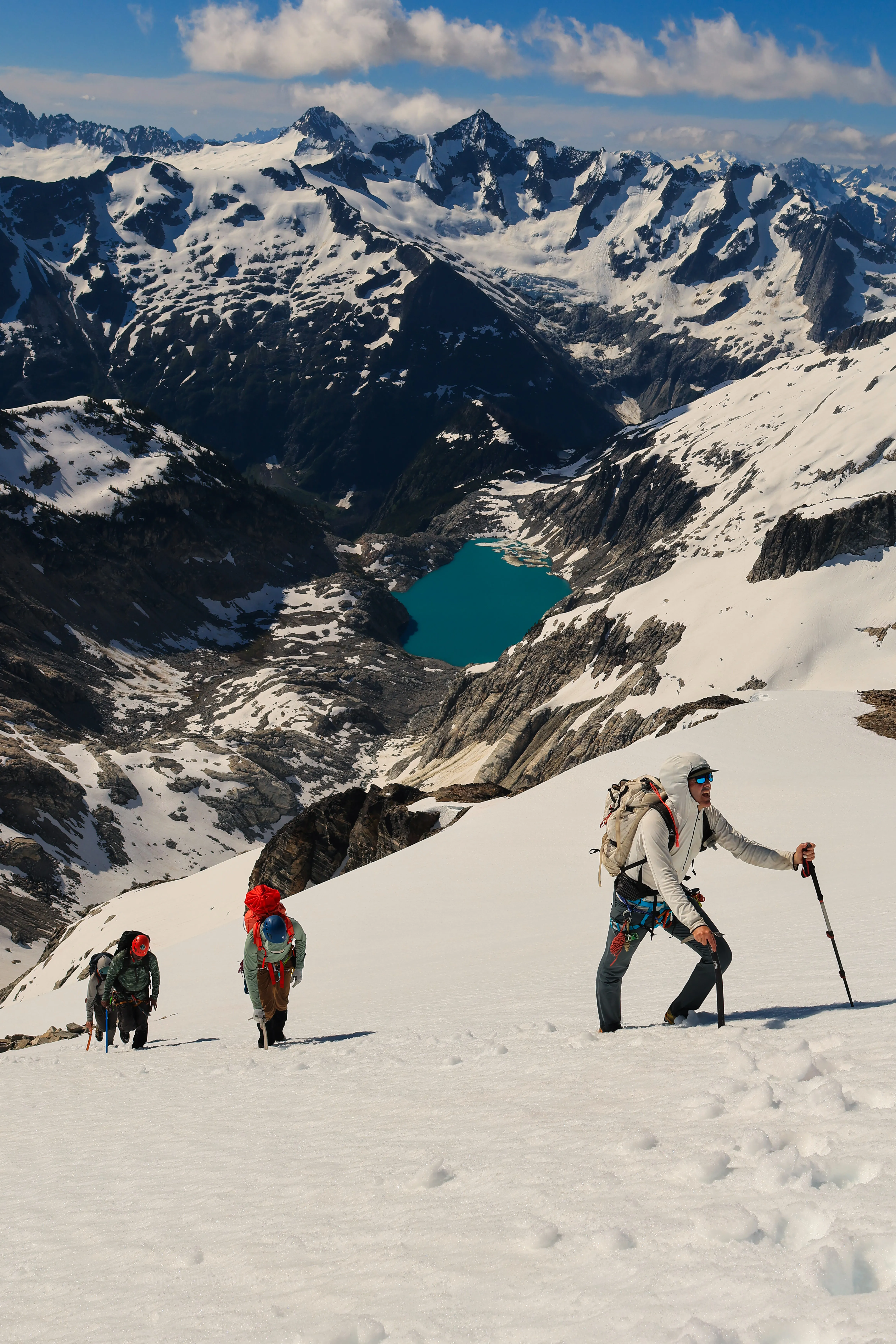
Gritting out the last push to top out
The summit view is absurd, honestly one of the great panoramas in the range. From up there we could pick out Mount Logan, Eldorado, Mount Blum, Mount Baker, Mount Shuksan, Glacier Peak, Forbidden, Sahale, Boston, Buckner, Torment, Austera, Klawatti, Dorado Needle, Red Mountain, and a whole sea of peaks beyond. You could stand there naming summits for an hour.
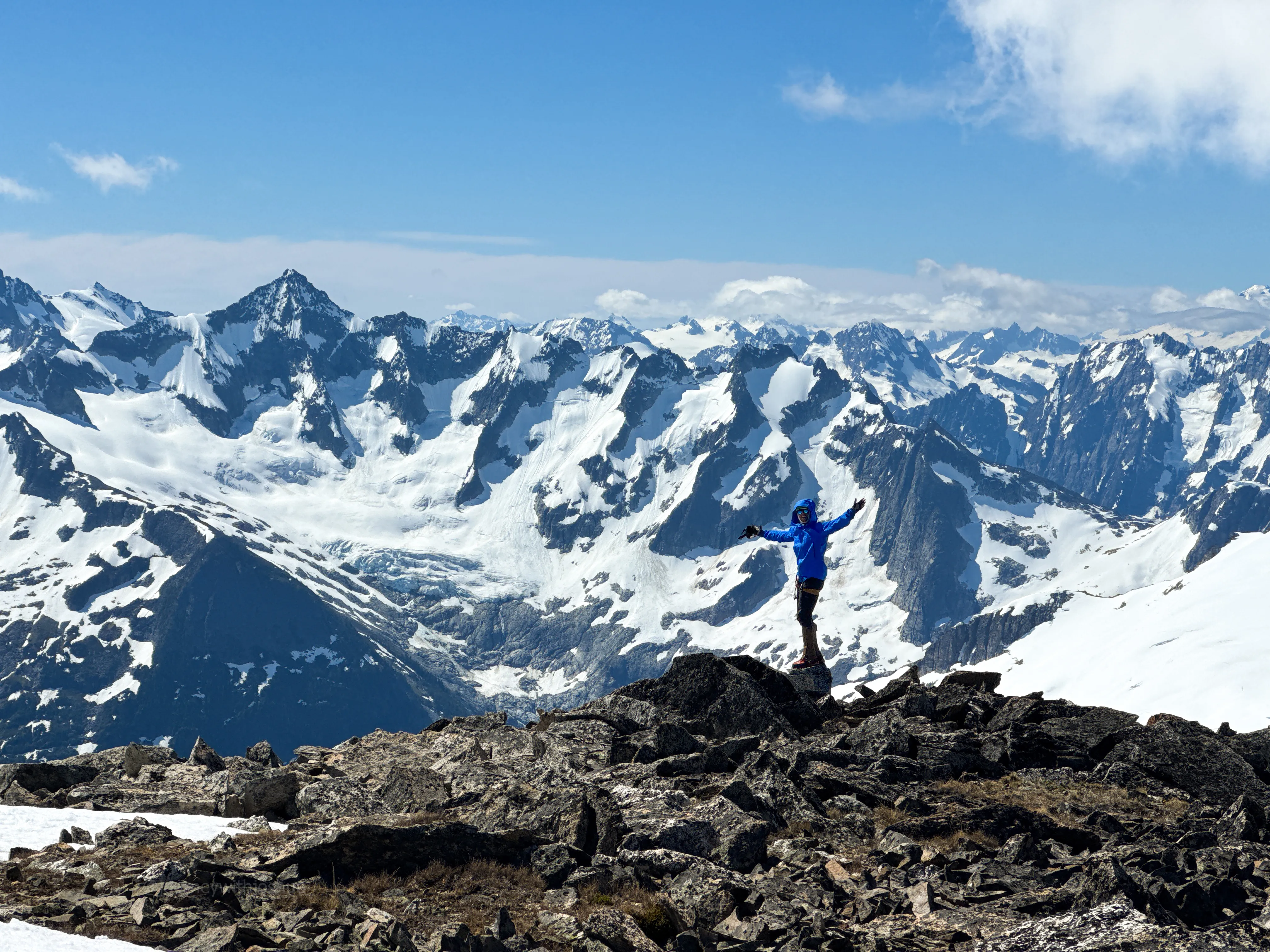
Me on top, with last year’s big one, the Torment-Forbidden Traverse, out behind me
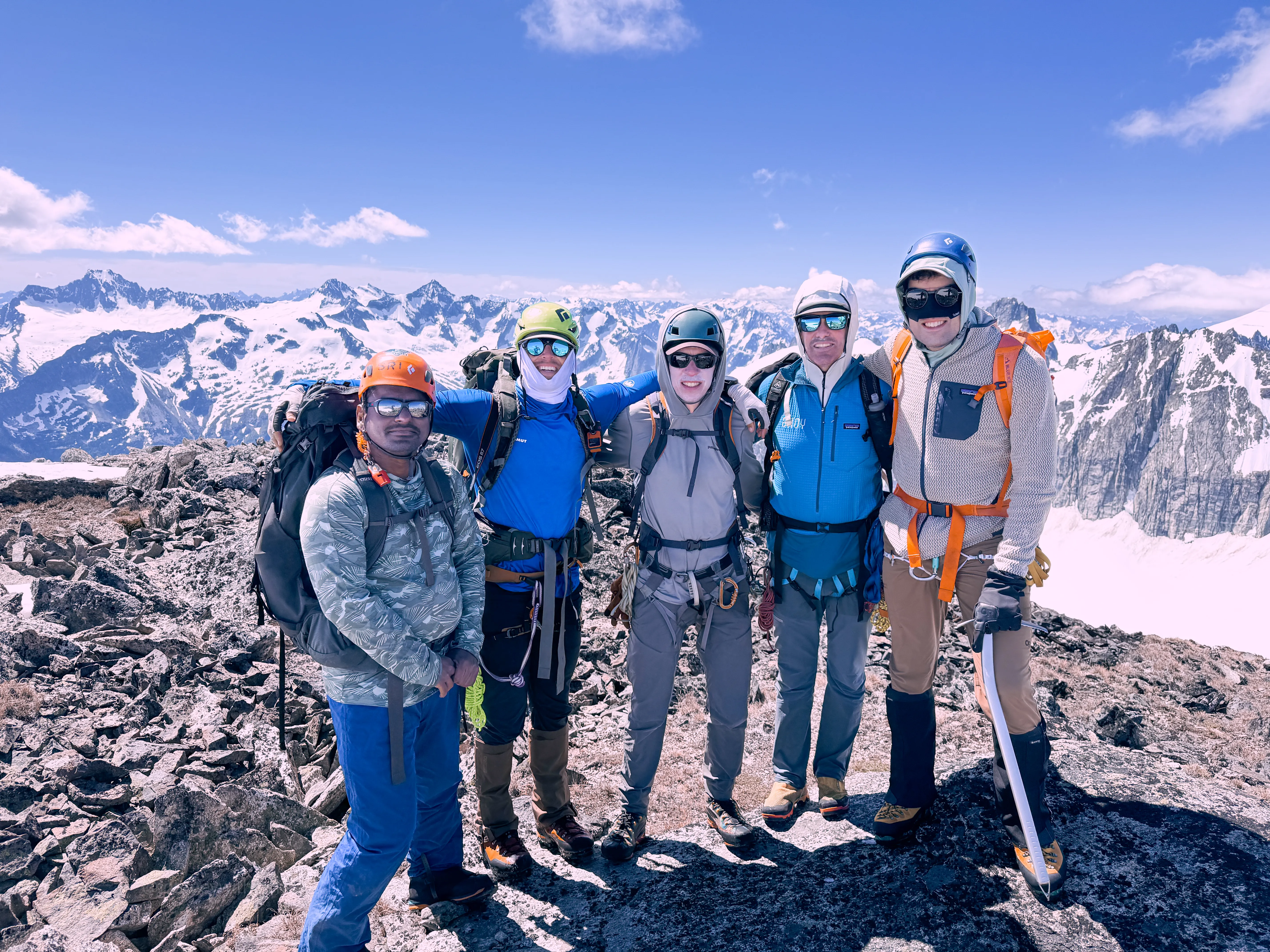
Full party on top of Primus. Everybody summited
We celebrated with photos, snacks, and water, and stayed about two hours soaking it in. We even met a party wrapping up the Isolation Traverse. They tagged Primus and headed back toward Austera. We started down a bit ahead of them around 1230.
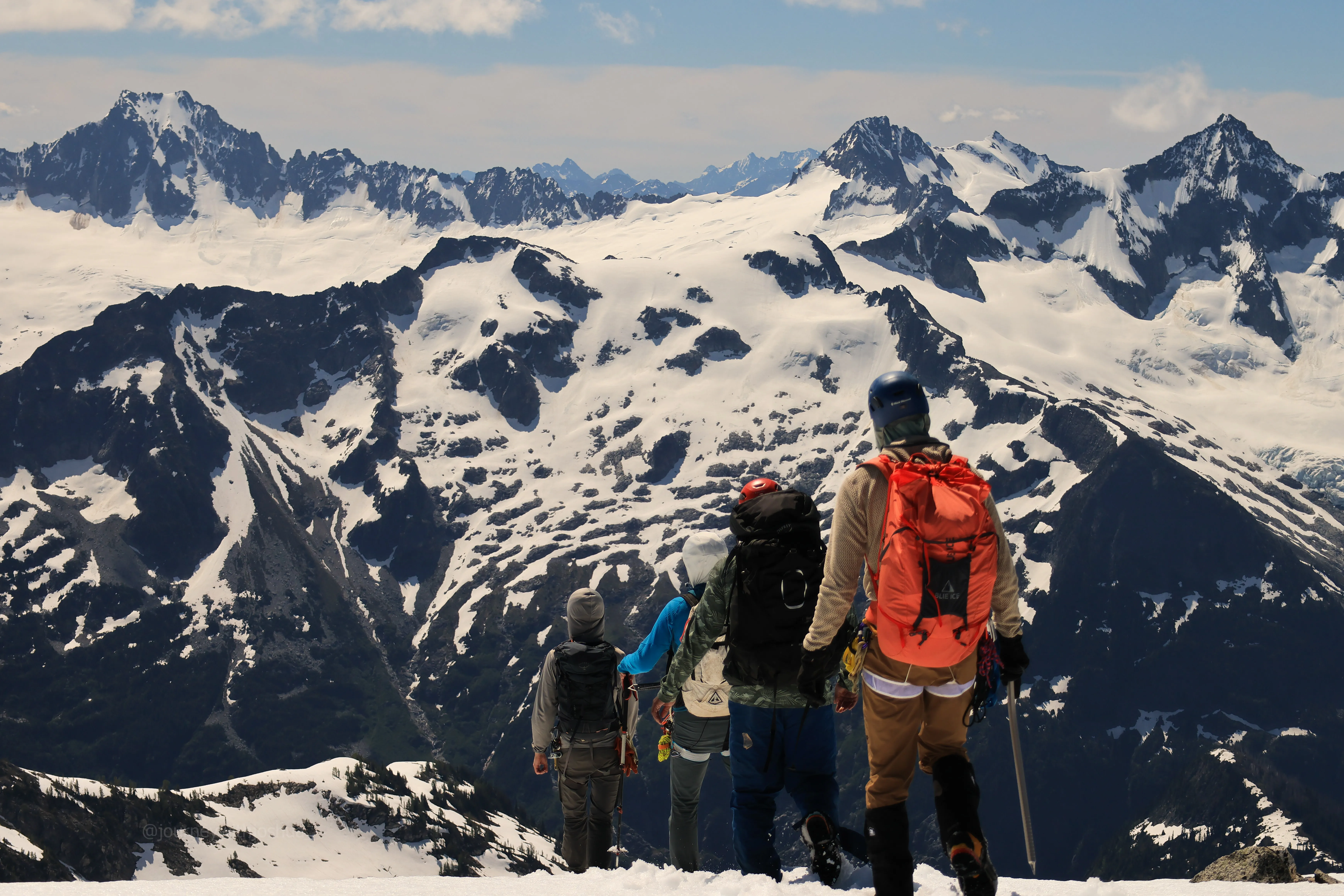
Starting back down off the summit
The Descent
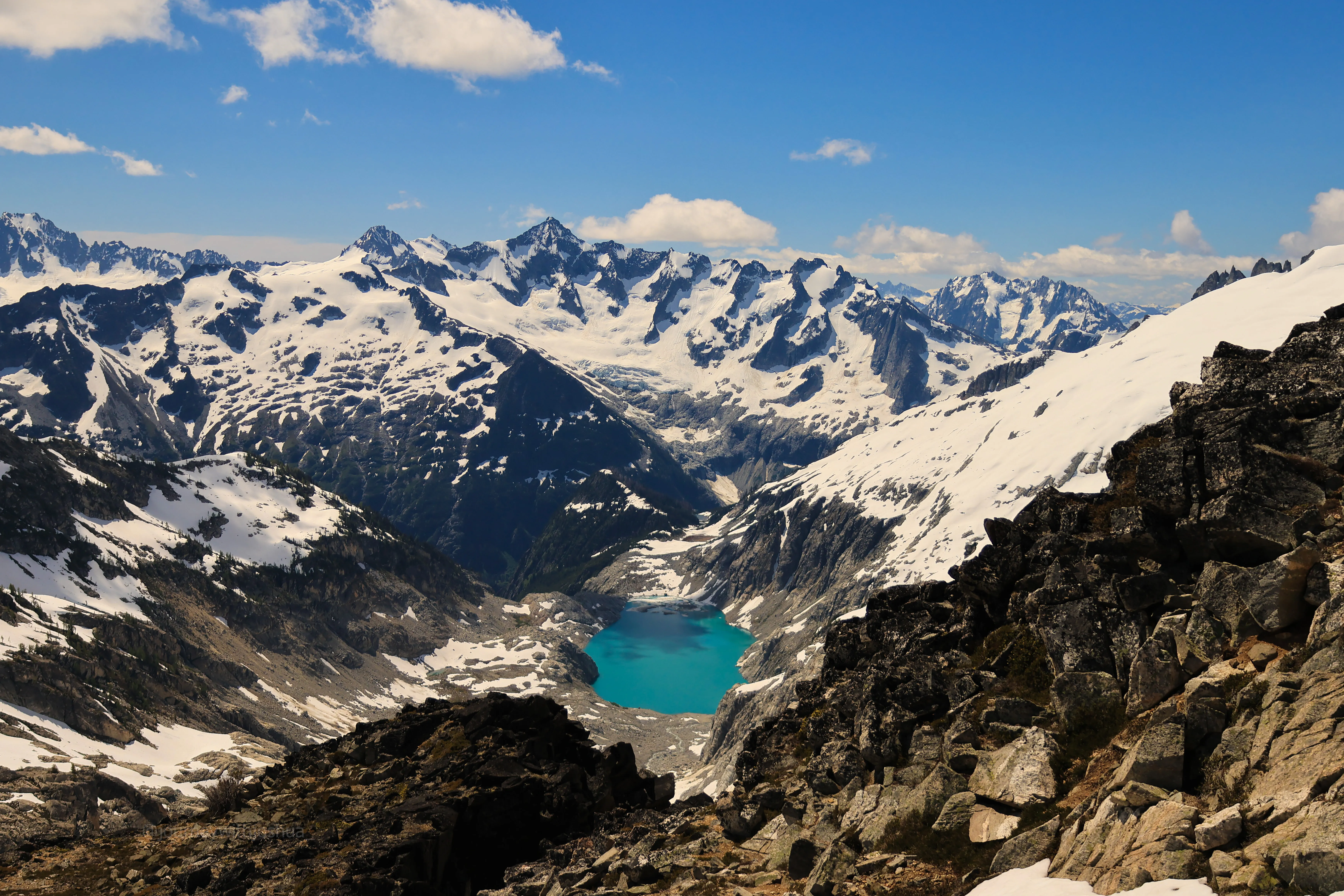
One last look at Klawatti Lake before we dropped back toward camp
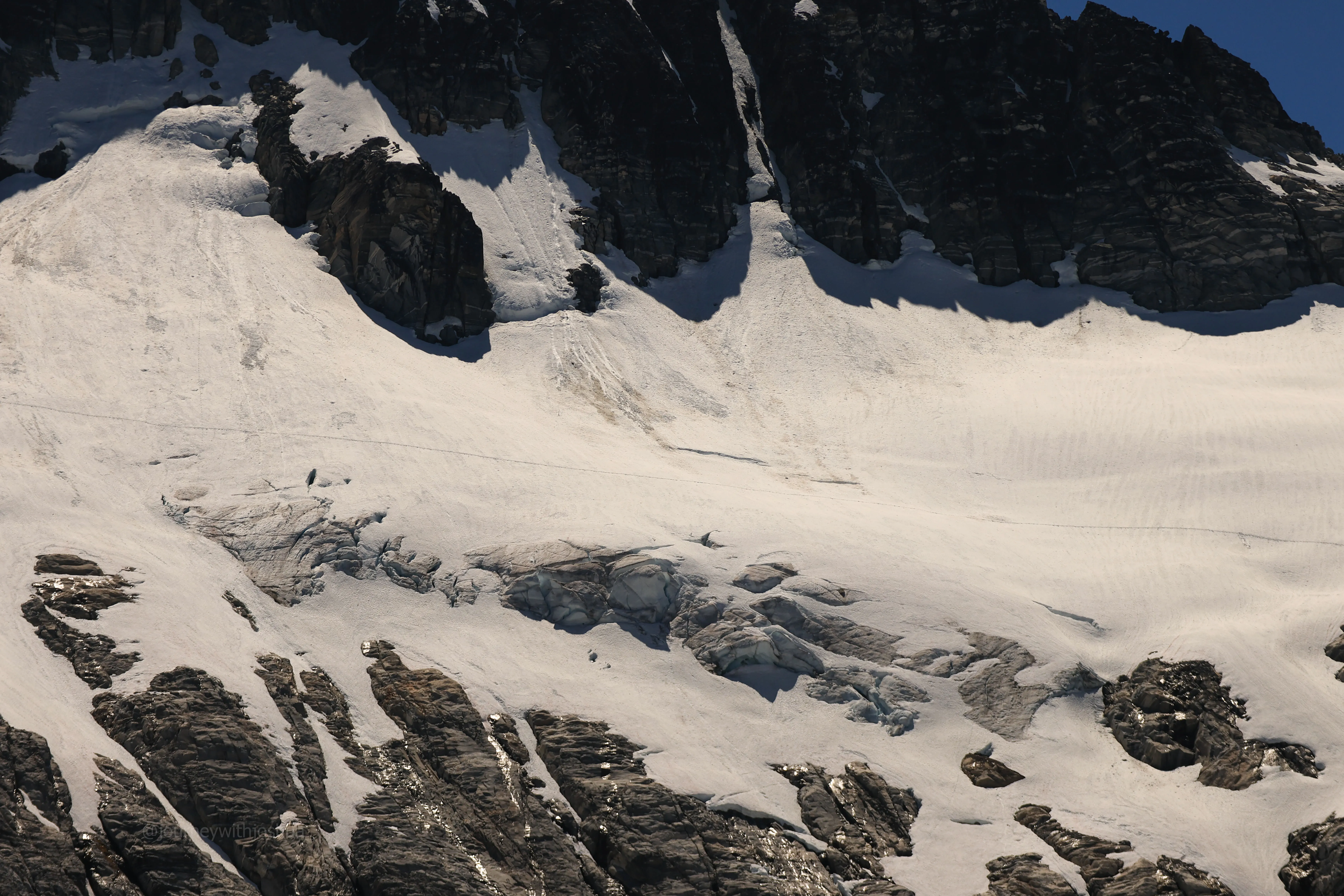
Our track across the Borealis. You can read the open crevasses and the line we took, staying center above the cliff bands
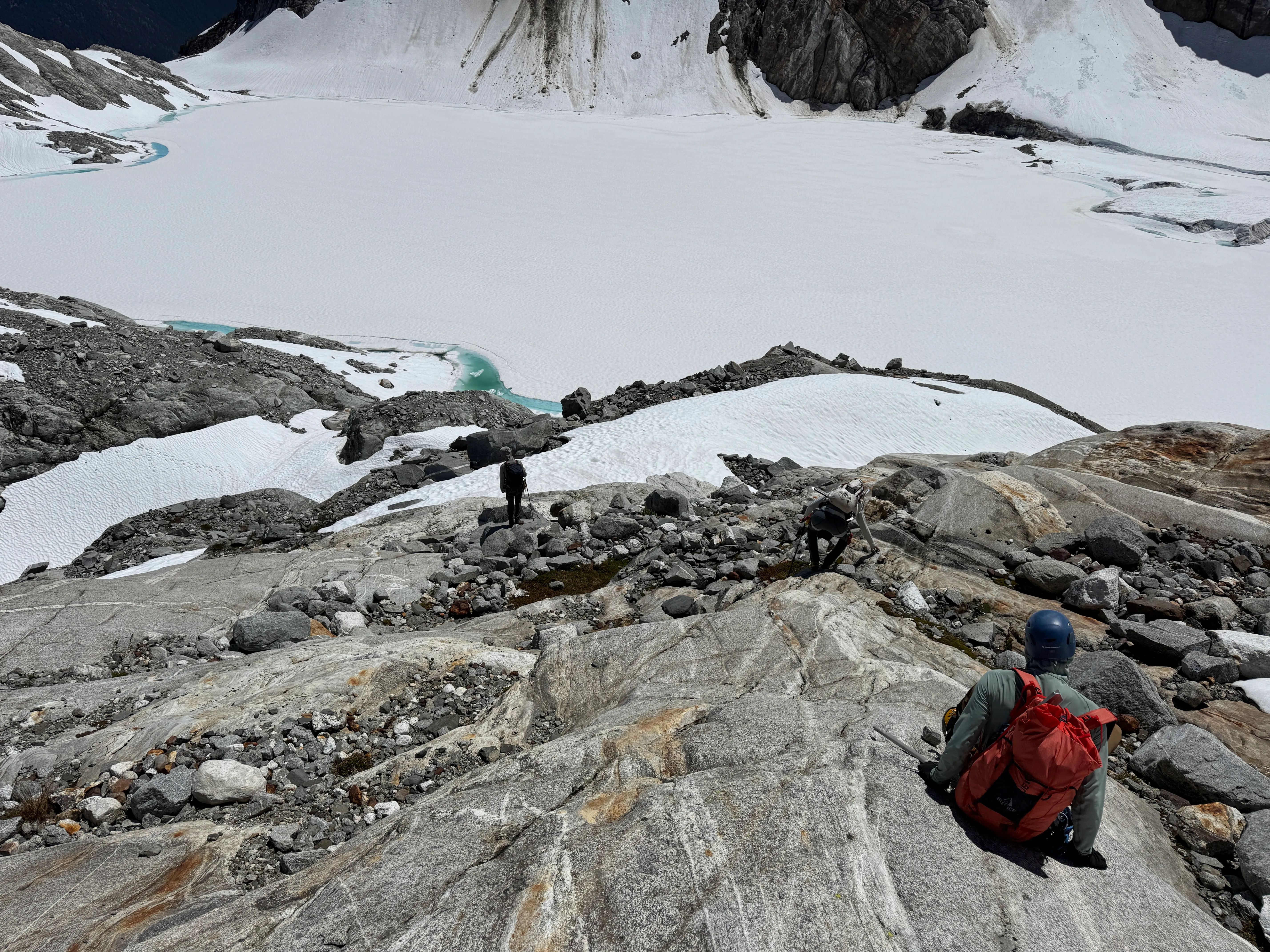
Chill scrambles on the way back to high camp
We were back in camp by 1400 with plenty of time to rest. I was elated to get another full party to the summit on a peak this challenging. I spent the afternoon transferring photos, marking favorites, polishing off the last of my food, and hydrating. My OR bivy turned out perfect for keeping the sun off. Laying down without a care for a few hours felt great.
The wind picked up like clockwork at sunset, stronger than the first night, and the temperature dropped a bit more. Most of us layered up and crawled to the middle of camp for dinner and boiled water. I have to rave about the Backpacker’s Pantry Chicken Pad Thai. Best dehydrated meal I’ve had so far, and I accidentally made it with double the water and it still slapped. 10/10.
This is also where the wind earned our respect. One tent, pinned down with a few hopeful rocks, did its best kite impression in the gusts, and the whole team jumped in to batten it down. The takeaway for this camp: actually anchor your shelter. Up here the wind is a realer hazard than the climbing, and a windy, exposed bivy is the norm, not the exception.
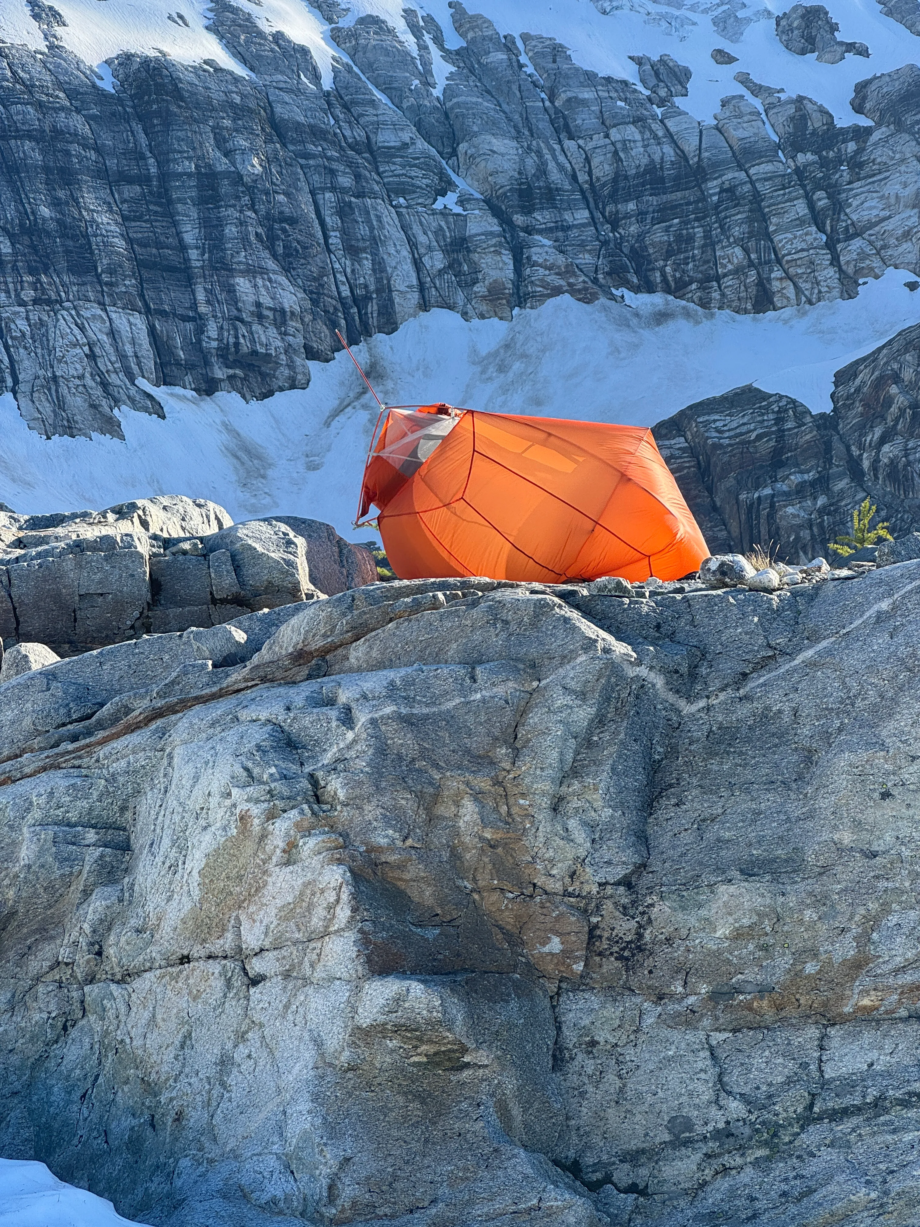
The wind doing its thing on a tent at camp. Anchor it well
The second night was colder, and the peaks were grabbing at passing clouds. Snowfield across the way got swallowed whole by one. I woke up cold once and resealed my bag, then laid on my back watching the sky. The Milky Way was showing off over the peaks. Something about the stars up there always gets me.
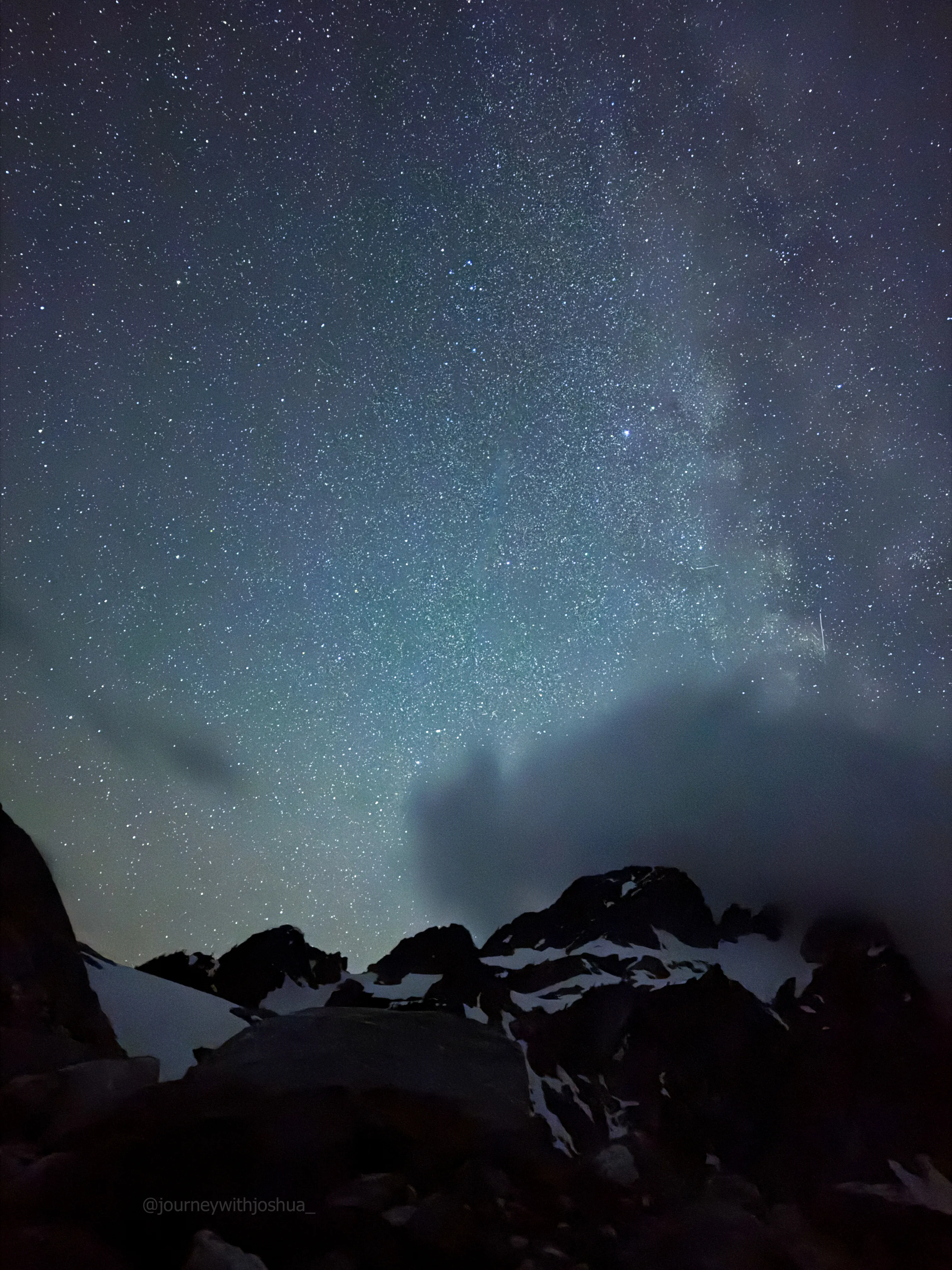
The Milky Way showing off over Tricouni on the second night
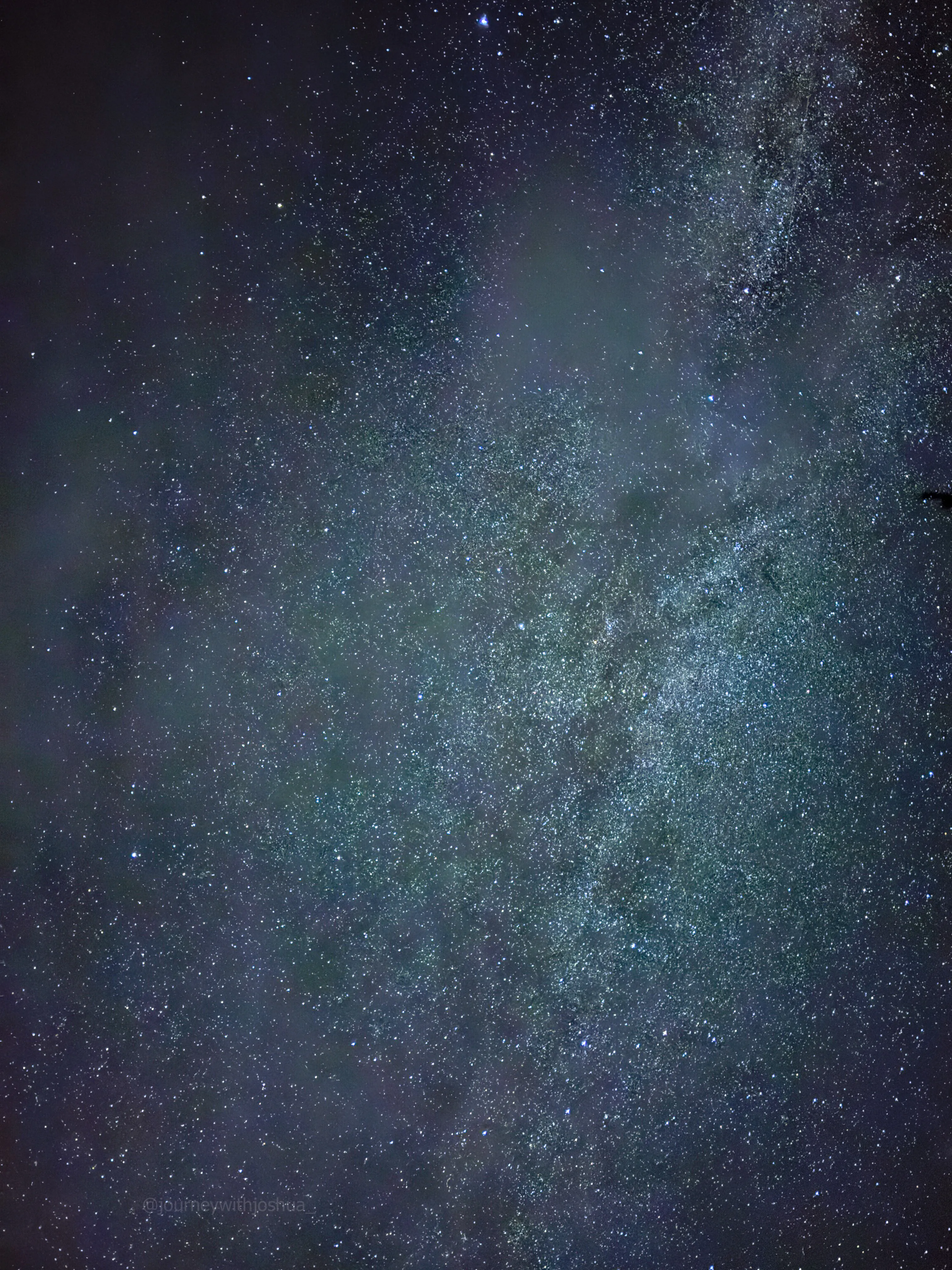
POV from the sleeping bag. Hard to beat that ceiling
Alarms around 0530, on the trail by 0700. Earlier meant cooler forest shade, and going downhill helped. Don’t expect a total free ride out, though. The return still has 800 to 900 ft of climbing stitched into it, little counter-uphills that bite when your legs are already cooked. The markers cruised by: the high snack spot, the dirt moat, the cliff scrambles. Off-trail, the real hazard is the rolling logs and sticks. They shift and you slide right down the steep ground, so watch your step. Good team navigation kept us on trail most of the way to Thunder Creek. We braved the crossing one more time and everyone made it. So as of 6/21/2026, the log jam still goes.
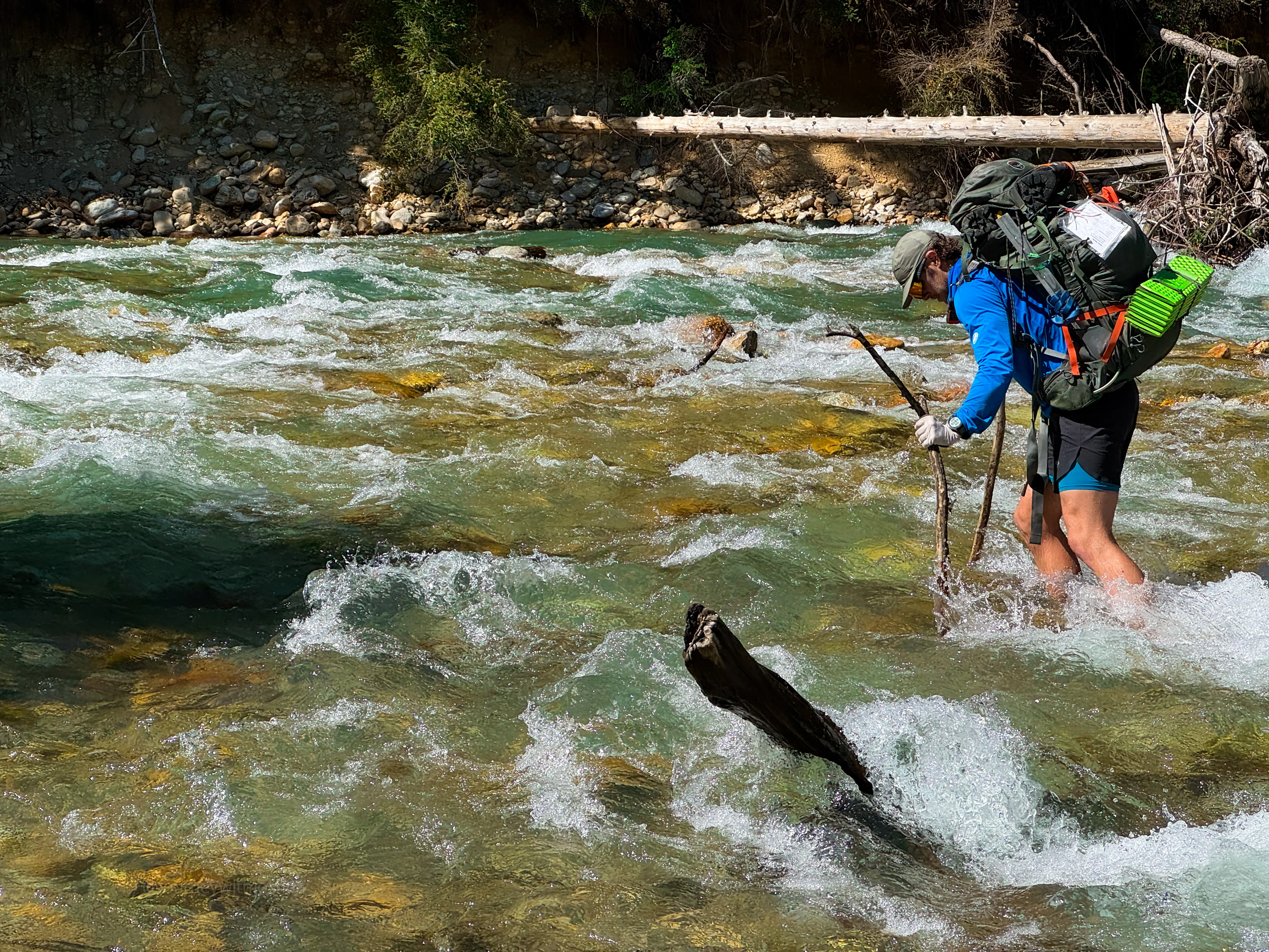
Just joshin around on the return crossing. The log jam still goes
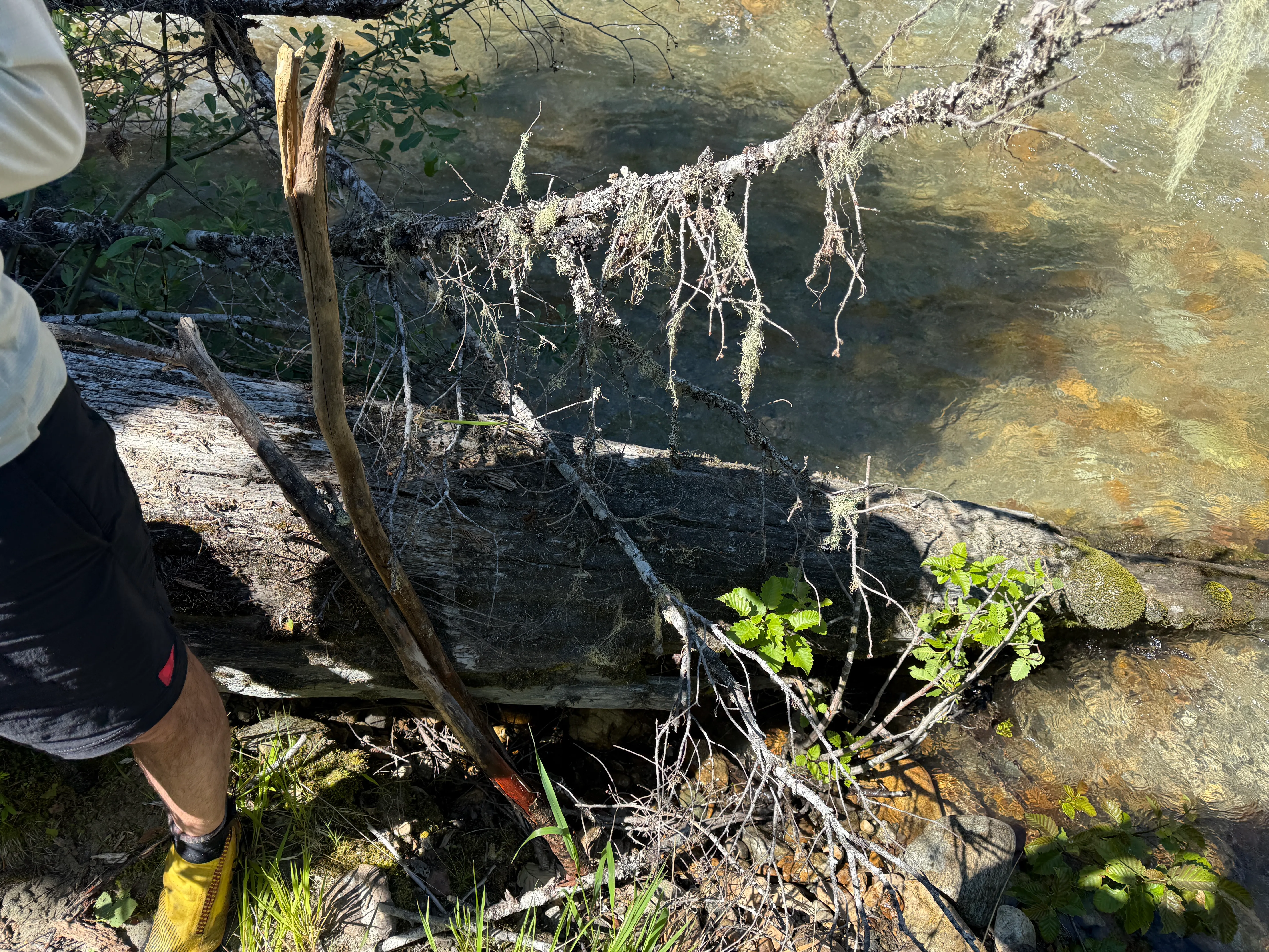
Left the sticks behind for the next brave soul without poles
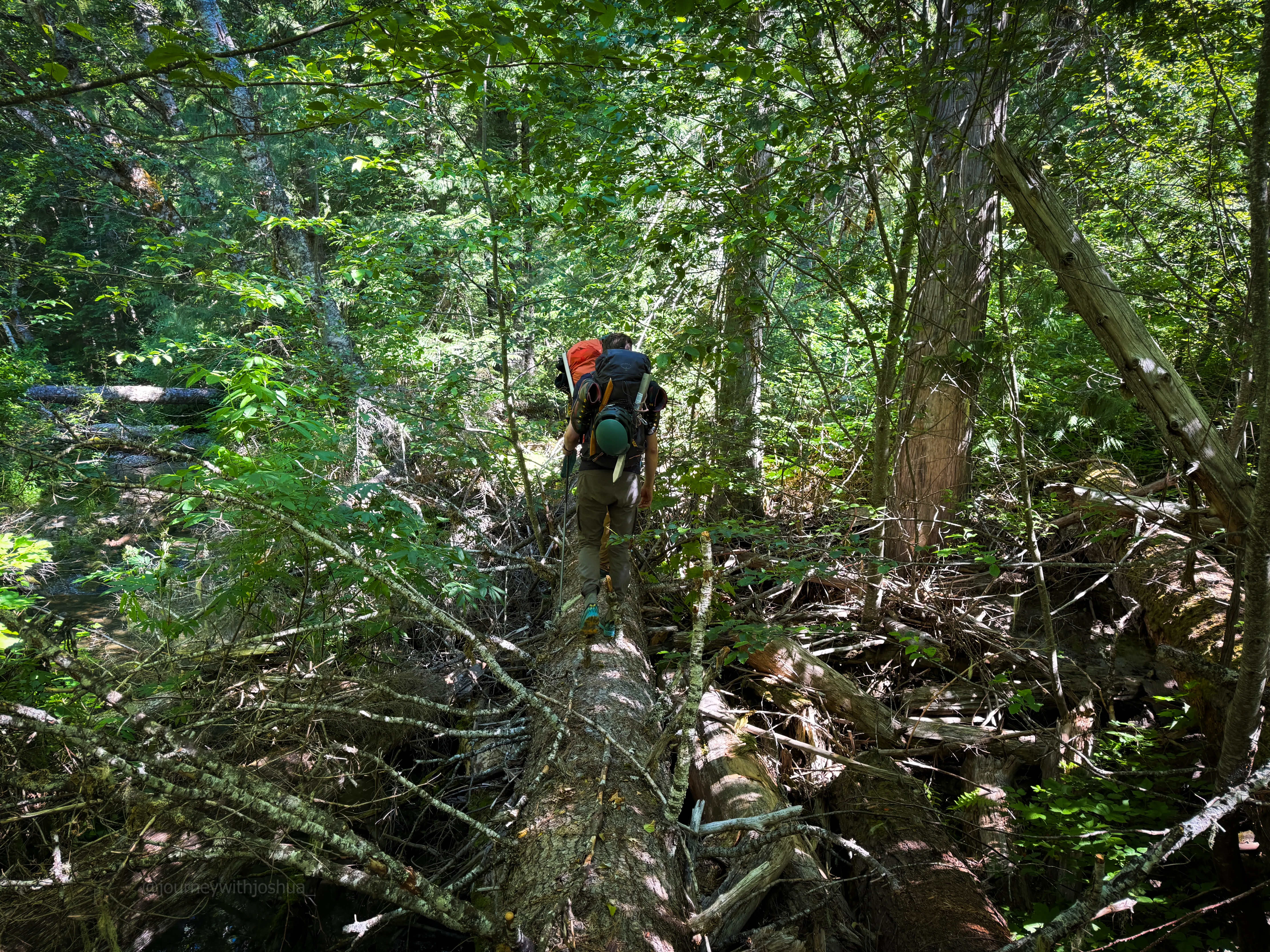
With the branches knocked off, this log was a lot friendlier to cross on the way out
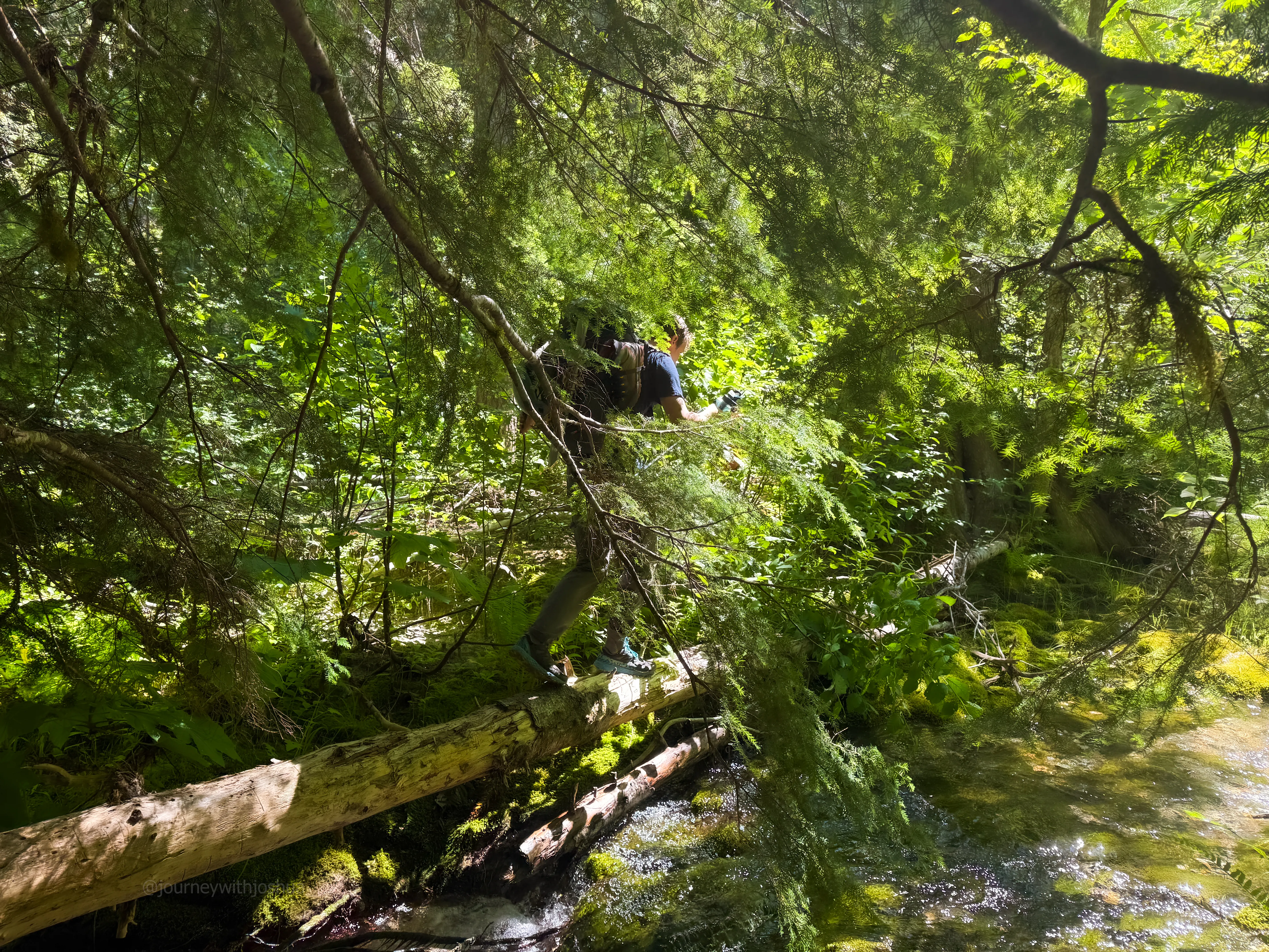
Dan on the final bushwhack, Thunder Creek Trail just ahead
The bugs eased up across the river and we cruised back to Camp McAllister. From there it’s 6 miles out, so we started marching. Before long there were people and dogs everywhere, a sure sign the trailhead was close. We hit the cars at Colonial Creek at 1330 on Sunday and pointed it at Mondo’s in Marblemount for burgers and beer.
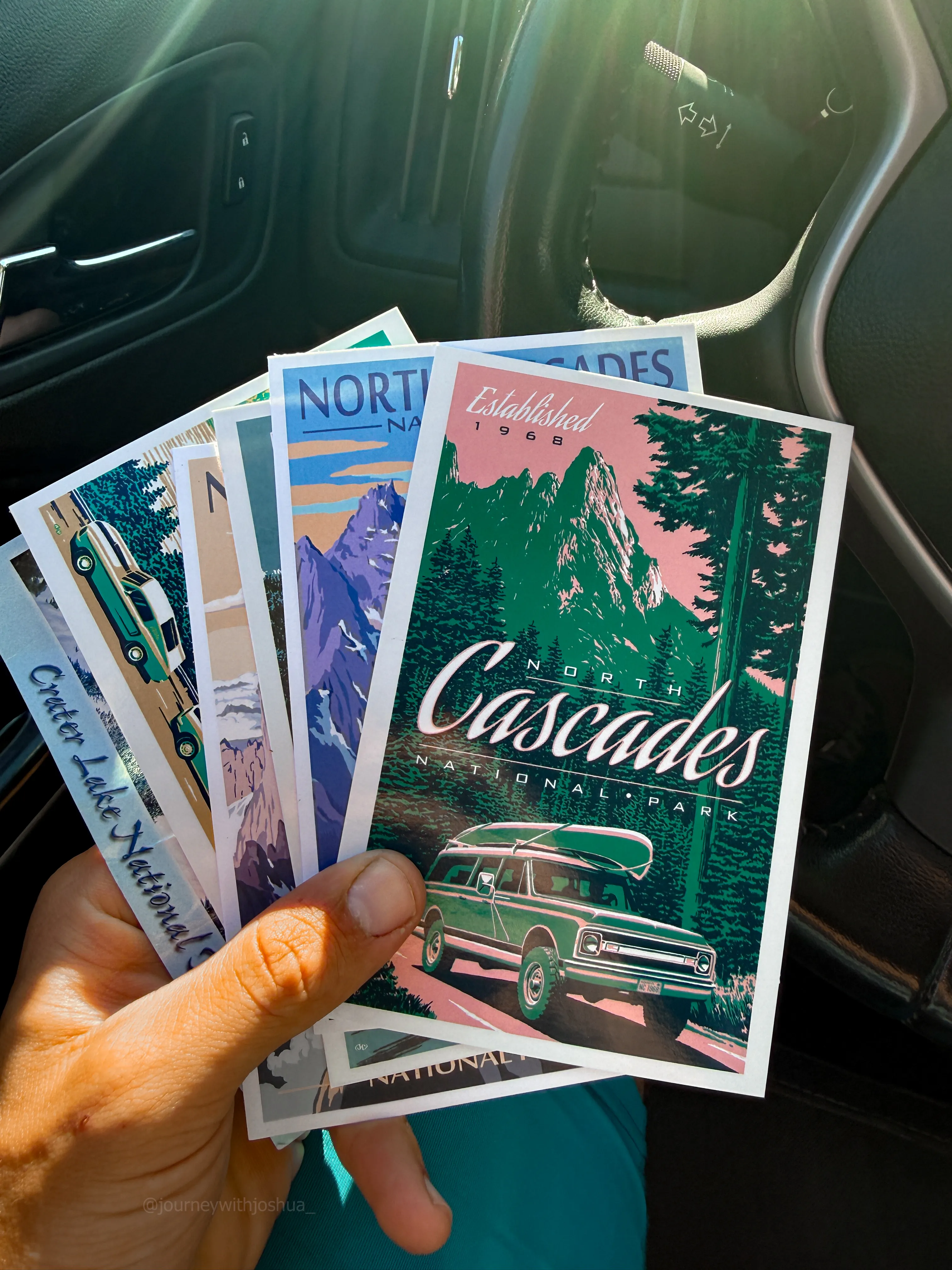
A relaxed three-day pace even left time to write some postcards for the fam
Bonus: at Mondo’s we ran into my old teams from Mount Shasta and The Tooth. Karl and his crew had just come off Eldorado on the same timeframe. What are the odds? It was great to see so many familiar faces. The climb went off clean, the team was fueled and ready for the next one. Onward.
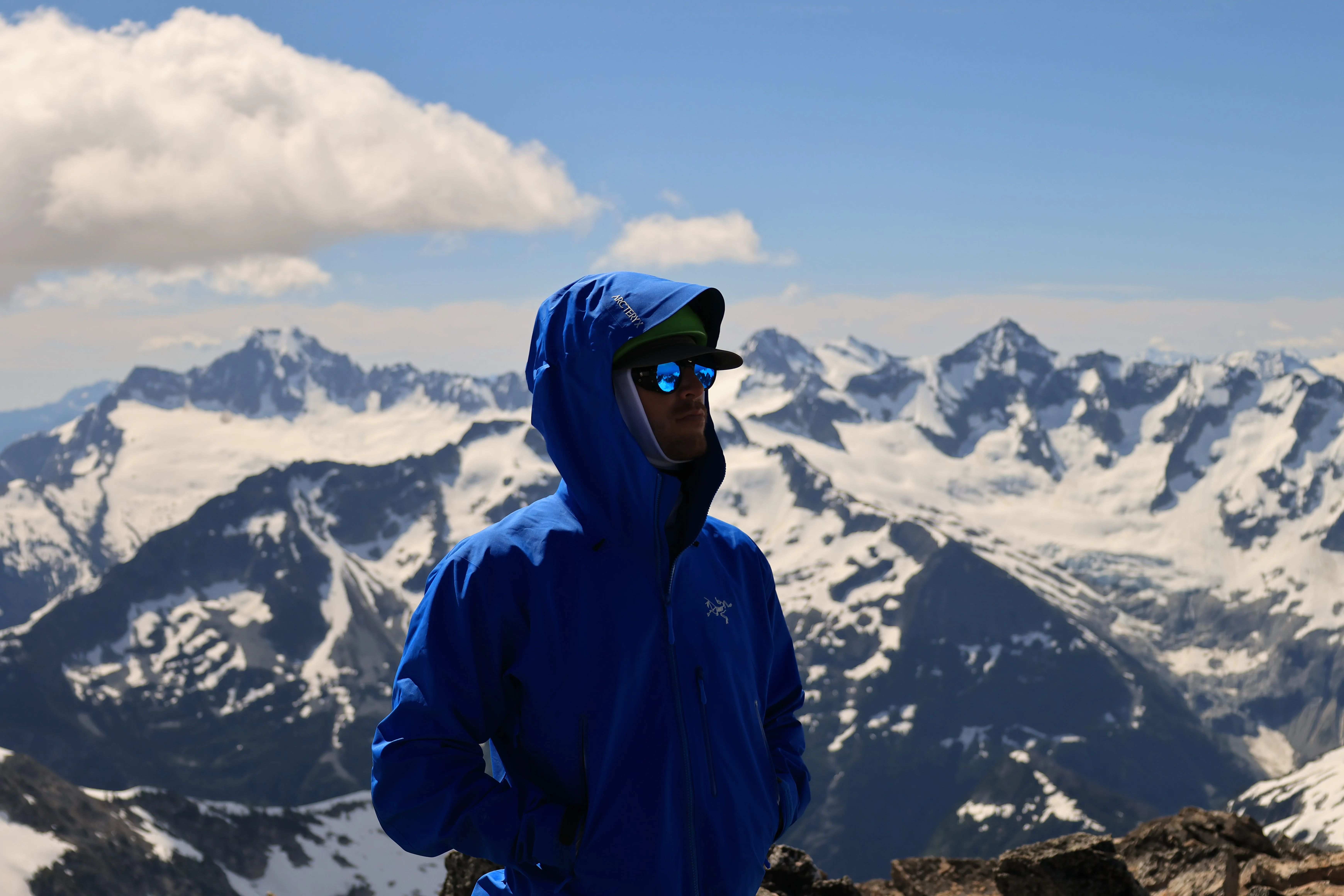
In my element, deep in the North Cascades
Route Reference
- Peak: Primus Peak, North Cascades National Park, Washington.
- Summit: 8,508 ft.
- Route: Borealis Glacier via the Thunder Creek approach, Lucky Ridge trail, and Lucky Pass (~7,200 ft).
- Trailhead: Thunder Creek Trail, Colonial Creek Campground. America the Beautiful pass required.
- Permit: Klawatti Zone, Marblemount Ranger Station. Walk-up available, small quota.
- Party: 5 climbers, two rope teams (a 2-person and a 3-person) on two 30m ropes.
- Days: 3. Day 1 to high camp (~10 mi), day 2 to the summit and back (~5.4 mi round trip), day 3 back out (~10 mi).
- Distance: roughly 25.8 miles round trip.
- Gain: roughly 10,000 ft total. About 1,200 ft at the trailhead, ~2,000 ft at the river, ~6,000 ft at high camp, then ~3,000 ft more to the 8,508 ft summit on day 2.
- Conditions (June 2026): Snow turns persistent around 5,000 ft (rough estimate, patchy), soft and slushy, no crampons needed. Crevasses opening but visible. Moats forming around melted-out rock. Strong overnight wind, 15 to 25 mph. Bugs in full force past the creek.
Follow me @journeywithjoshua_ on Instagram for all my adventures.