July 9, 2026 · Wild Sky Wilderness, Washington
Tailgunner Peak: The Quiet One
A dark-start scramble to a quiet Wild Sky summit, a sunrise cloud inversion over Baring, and a peak I bagged by accident.
- Distance
- 5.38 mi
- Elev. Gain
- 3,900 ft
- Time
- 6.4 hr
- Coords
- 47.8101° N, 121.4544° W
GPS track for route beta. Conditions change constantly, so verify your route and navigate at your own risk.
Tailgunner’s noisy neighbor has been quite the social media superstar the last few years. While I would love to include the name to make this trip report more searchable, I won’t. Washington needs all the help it can get to maintain its nature and beauty. You may call that gatekeeping, but an unnatural surge in traffic to a previously undisturbed natural area isn’t a good thing in any way. Just in my short car to car hike, I witnessed several shirtless parties, folks asking how close they were (long way to go, dog!), and one party that ran back to my car near the trailhead to ask how to get to the trail across the stream. It’s not like this is an uber deadly trail, but it surely can be consequential if you don’t know what you’re doing. That being said, the outdoors are for everyone.
July 9, 2026
Beta
- Peak: Tailgunner Peak (5,838 ft), Wild Sky Wilderness, near Baring, WA
- Route: The climbers trail from the Barclay Lake road, then steep dirt and alpine meadows to the summit
- Class: Class 2 scramble with a couple of stream crossings and some forest routefinding
- Distance: 5.38 miles round trip (per GPS)
- Elevation gain: ~3,900 ft
- Time: 6.4 hours car to car
- Trailhead: Roadside parking off the Barclay Lake road (FR 6024). Plenty of pullout space; the developed lot is a good turnaround.
- Navigation: The forest start is a twister. Faint, steep climbers trail with routefinding once you find it. Bring a downloaded GPX (or two) and be ready to backtrack. The first stream crossing is a little tricky but obvious even in the dark.
- Conditions (as of 7/9/2026): Dry. Steep dirt, really steep for dirt. Cloud inversion at dawn with Baring Mountain poking through. Some exposed sections on the descent.
- Water: Streams low on the approach. Filter and carry from there.
- Passes: Northwest Forest Pass for the developed Barclay Lake area lot. Confirm current signage at the pullout.
- GPX: Cleaned track available below.
The plan
It was getting late, and I had been working on another trip report late into the evening. I packed my bag, stopped by QFC to grab some snacks, and got going to the trailhead. It was within 90 minutes of Seattle, so I figured it was better to just get there and conk out. I popped my tent in the dark forest and climbed in. I was out fast.
In what felt like a blink, I woke back up. “How long had it been? 10 minutes?” Nope, 90. And it was just a couple minutes shy of 0155 am, when my alarm was set for. The car that drove by must be my climbing partners. Surely no one else was on the lunatic fringe enough to show up for a 0200 start. I chugged a little water, grabbed my hat, and closed up my tent. The headlights drove back up to me. “Hey friends!” Haley and Tony arrived on time and my assumption was correct: they were the only other lunatics in the area for an ascent at this hour. What joy, to be the only ones on the trail. Our packs were all ready to go, and Haley’s dog was even along for the trip. Off we went.
The approach
The ascent involved a couple stream crossings, the first one a little tricky, but fairly obvious even in the dark. The navigation in the beginning through the forest is a bit of a twister, but eventually we arrived on the climbers trail, and it became steep quite fast. Really steep, for dirt anyway. But we moved well as a team. We were all equally excited at the opportunity for a beautiful sunrise over a cloud inversion in the valley and Baring Mountain. The next couple hours were just headlamps and looking at the ground while making steps up. In unusual fashion, I was sweating a boatload on the ascent, but we were in a hurry. I try not to sweat on ascents to preserve water and maintain a reasonable ascent pace, but this was no time for caution!
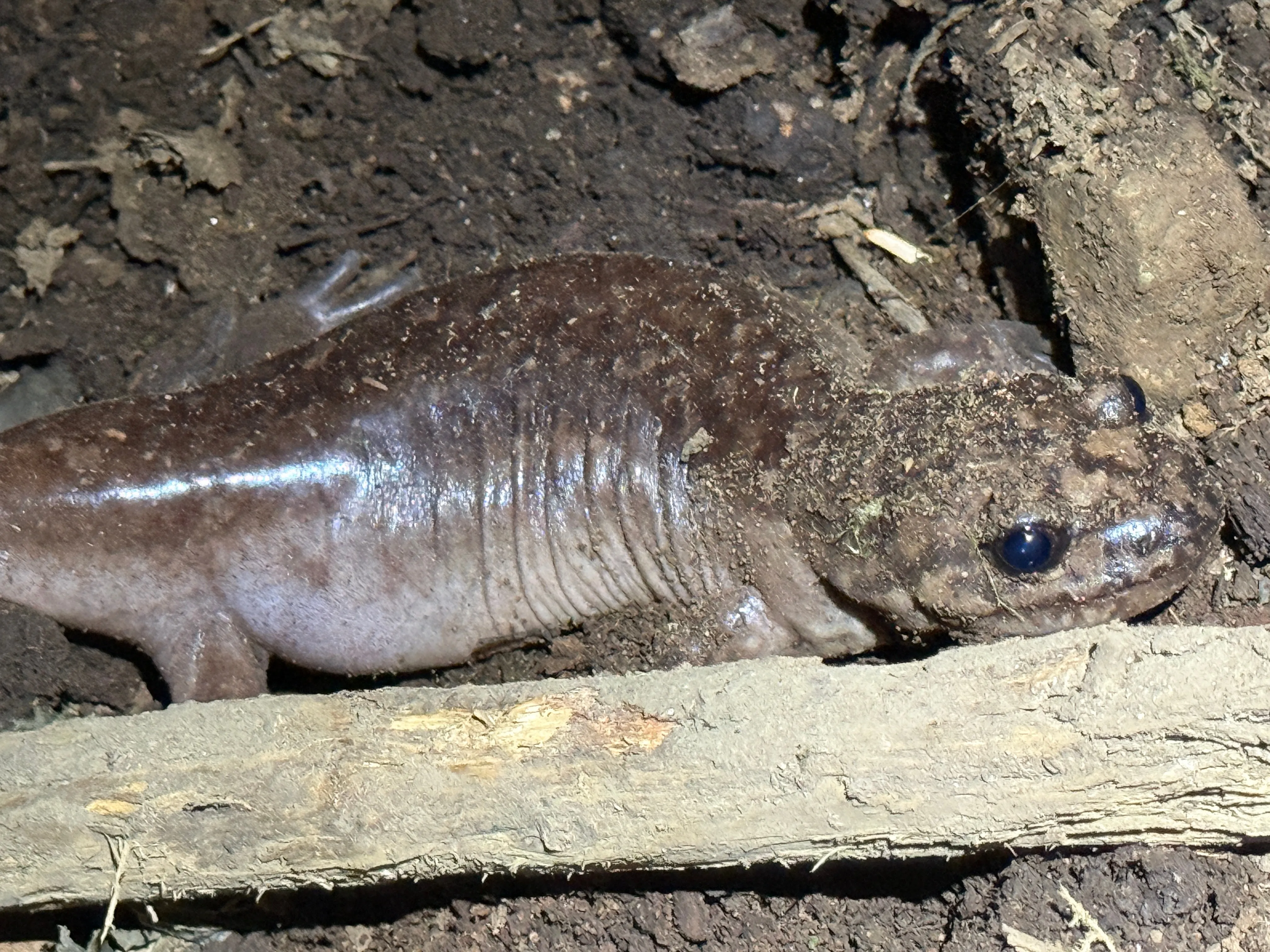
We spotted a little newt fella holding it down in the dark. One of the locals.
Sunrise over the inversion
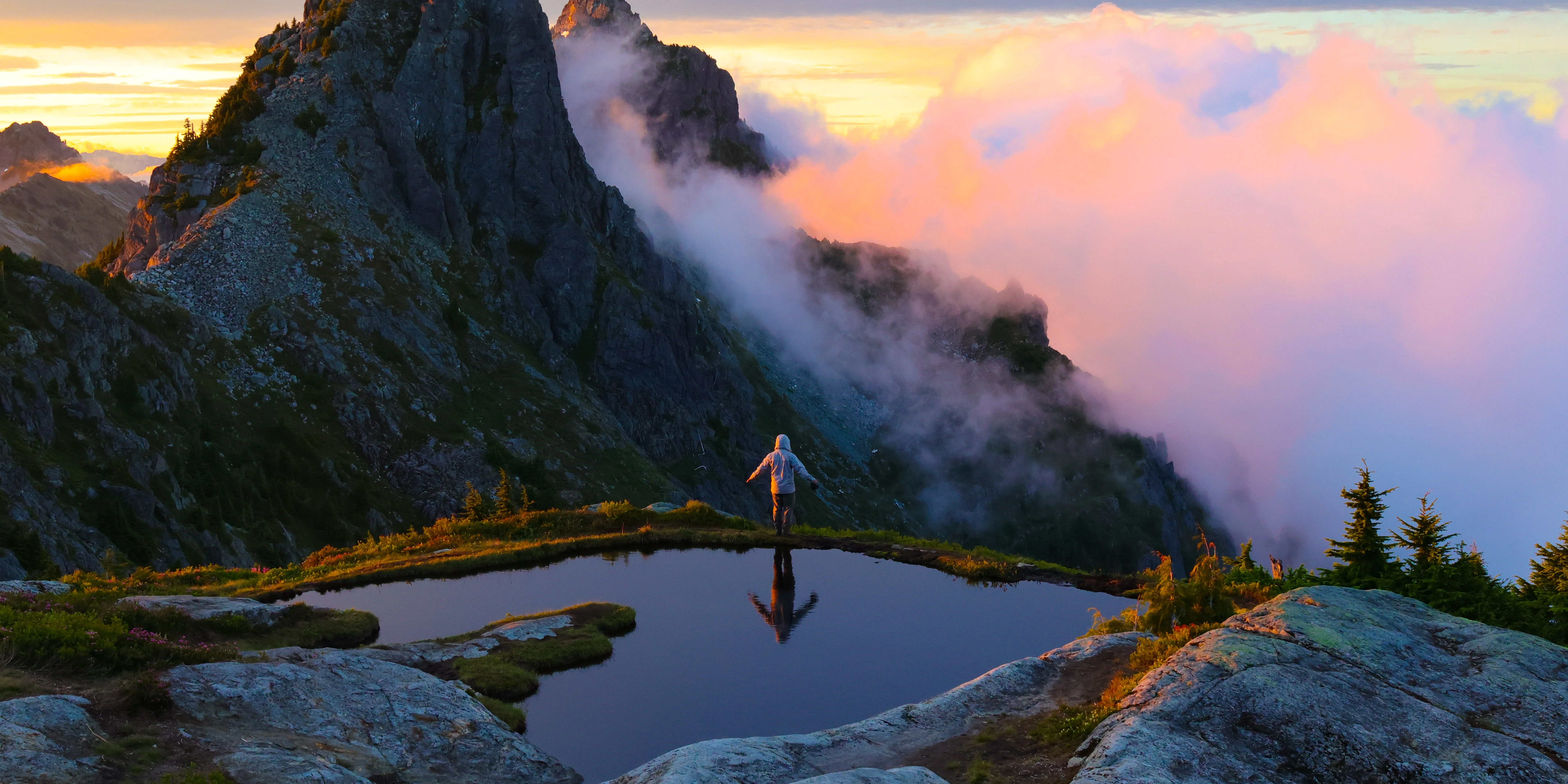
We arrived at the location I had never seen with my own eyes before. A beautiful, still tarn that goes right up to the edge of a cliff. This cliff dives down into the valley that was covered in thick clouds and, as we had hoped, Baring Mountain poking up through. The stars were out on this night as well. It was quite a sight and we all were pretty stoked. The sun began to rise and we made all kinds of interesting observations. In the distance, you could see a cluster of lenticular clouds that looked like pink glowing red blood cells in the sky. The sunrise colors popped as we hoped, turning the mountains and clouds a bright orange, pink, and purple. The clouds were moving fast. I recognized this along with the lenticular cloud confirmed my fears: the winds for my upcoming Mount Rainier climb are going to be very real. There is still a chance the forecasts will improve in a couple days’ time, but I figured we were in for it. Oh well, a problem for another cold, long, dark night.
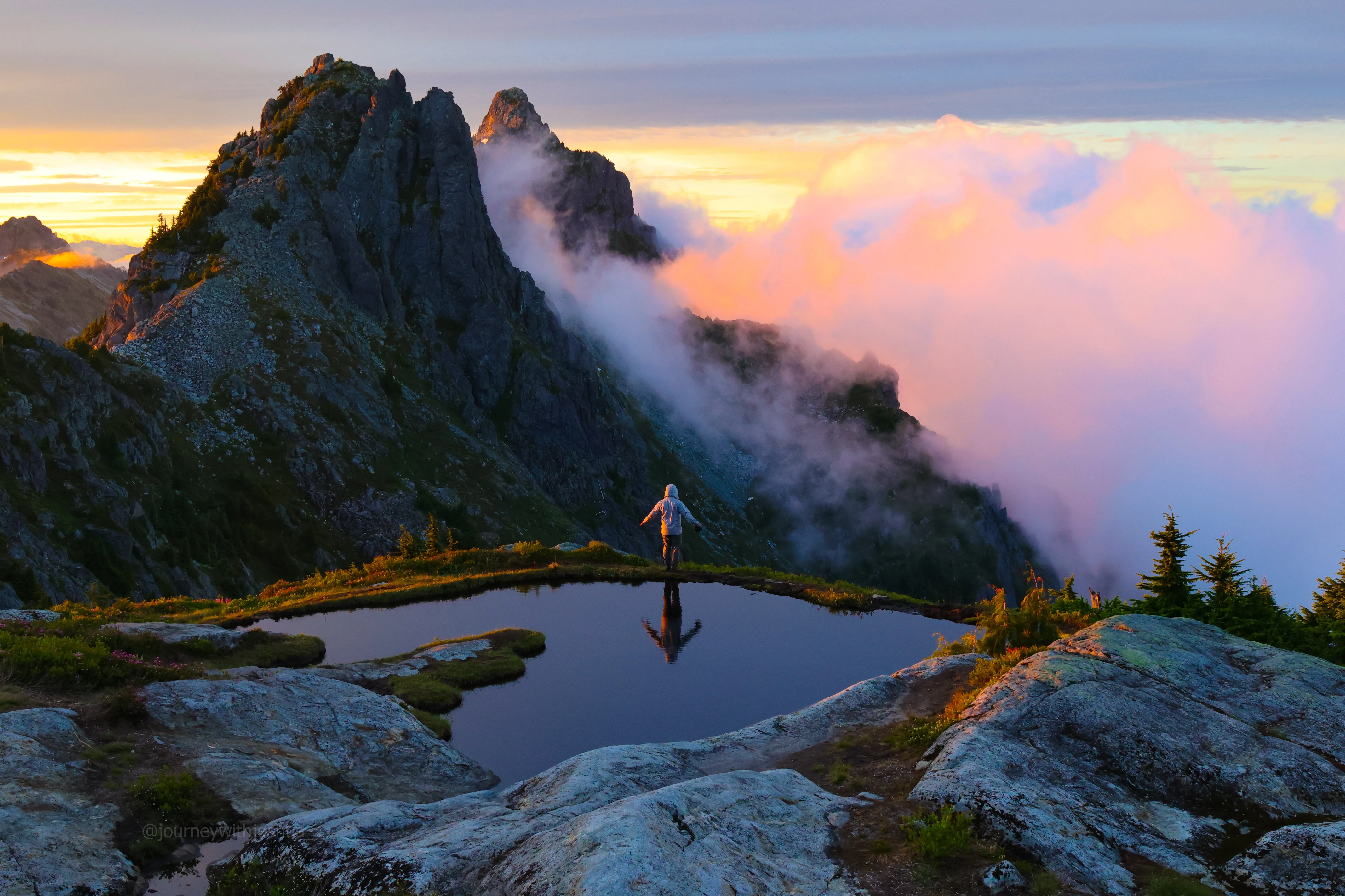
Tony and the still tarn right on the cliff’s edge, the inversion pouring off into the valley.
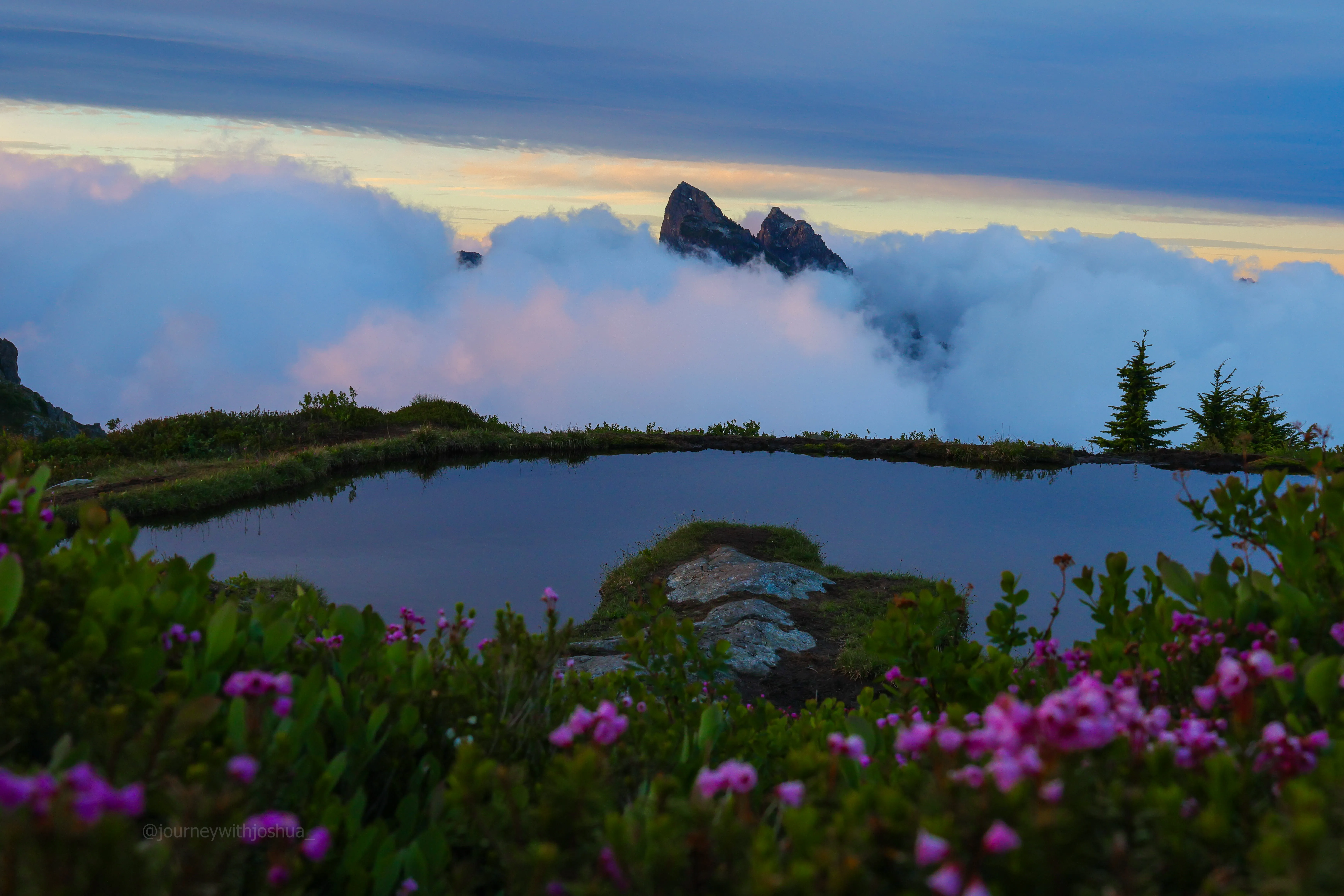
The tarn, the wildflower meadows, and Baring floating above the inversion. Hard to beat a morning like this.
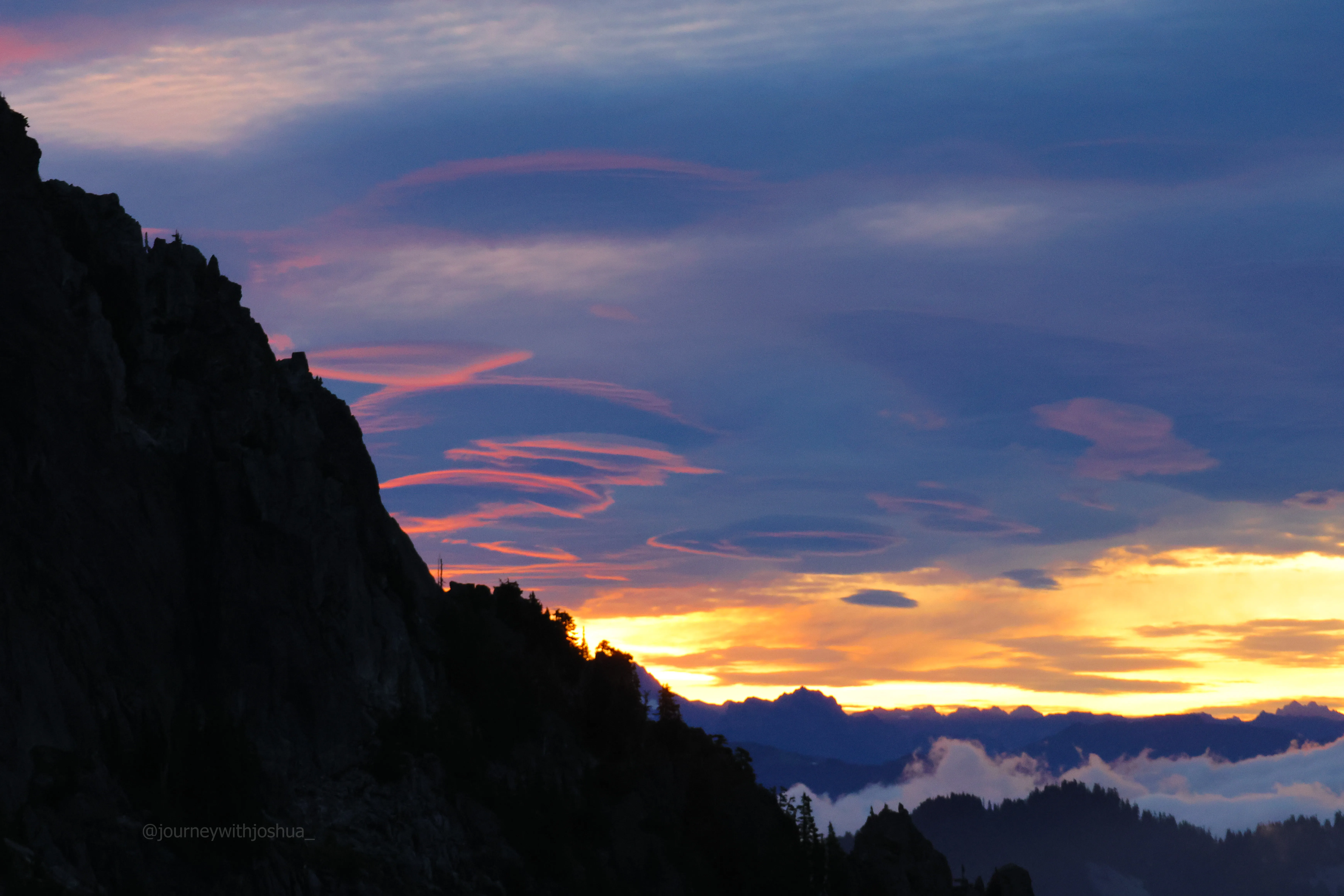
That cluster of lenticulars, glowing pink like red blood cells. Pretty, and a bad omen for Rainier.
We began snapping away with tons of great photos. The angle of the sun and clouds meant that the fiery colors would last for a very short time. We got to work and shot as many great photos as we could. A lot of mine include Merchant Peak as the backdrop, but Baring looked amazing too in some.
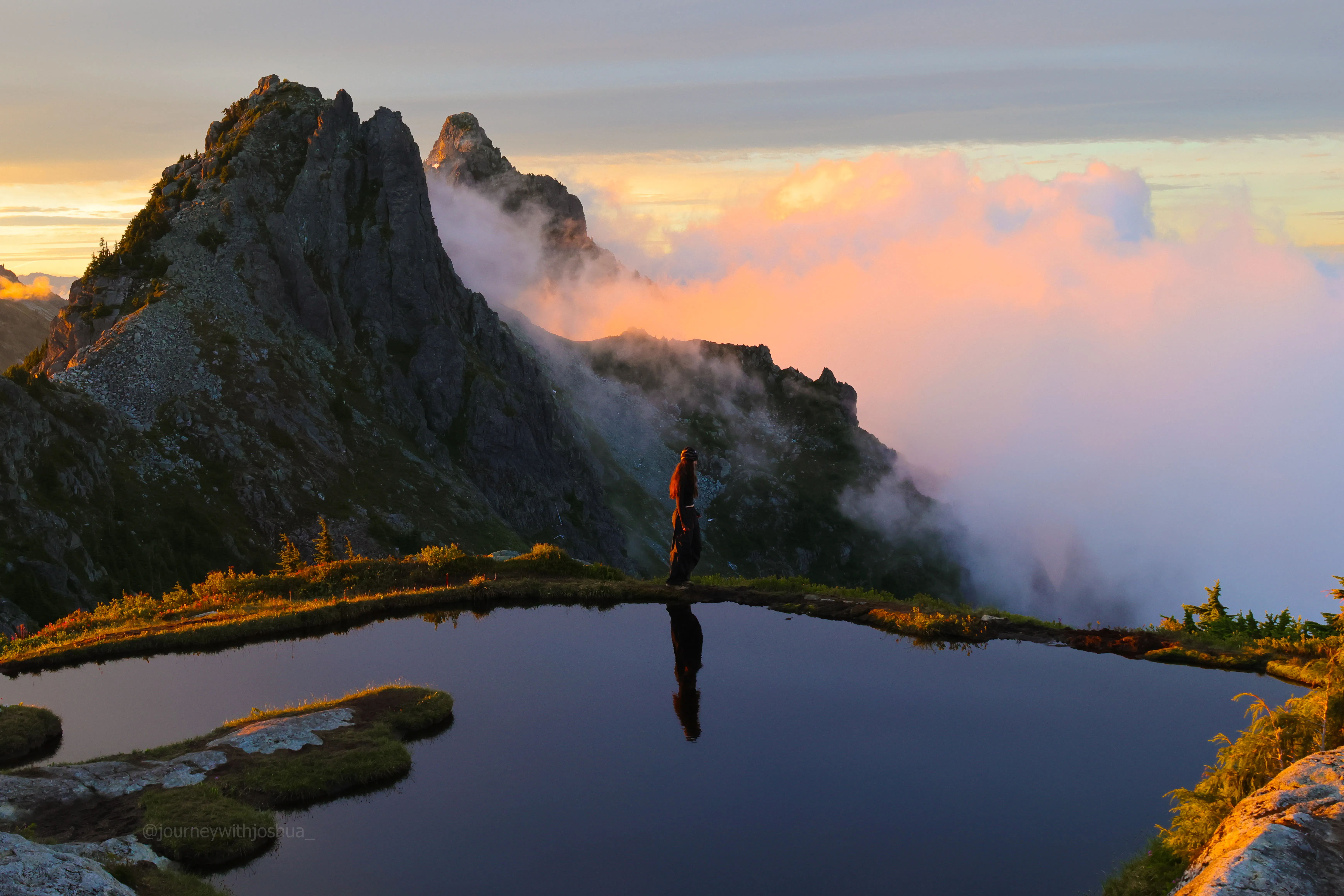
Haley catching the tarn glow.
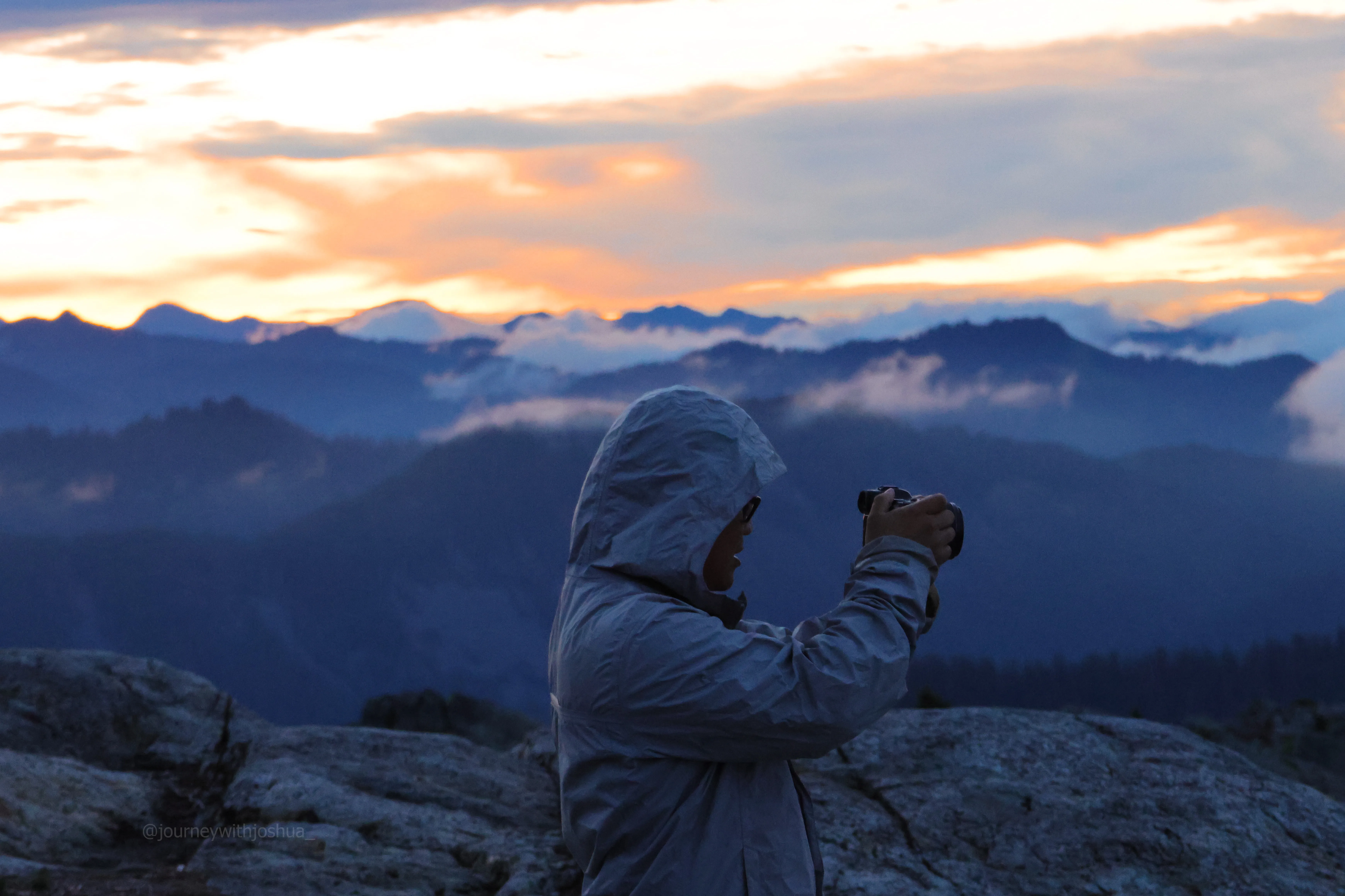
Tony at work, chasing the light before it faded.
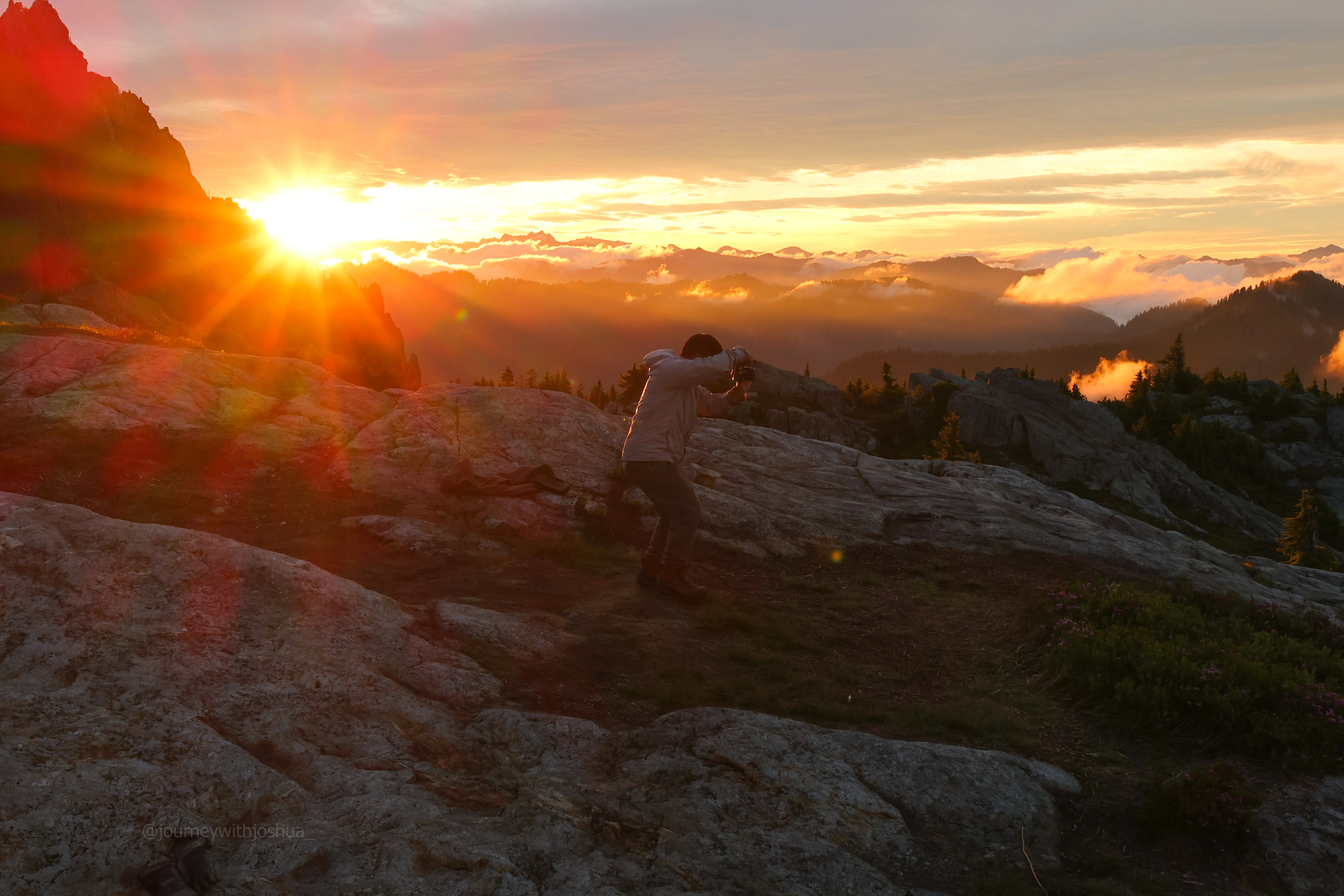
Tony snapping away as the sun crested the ridgeline.
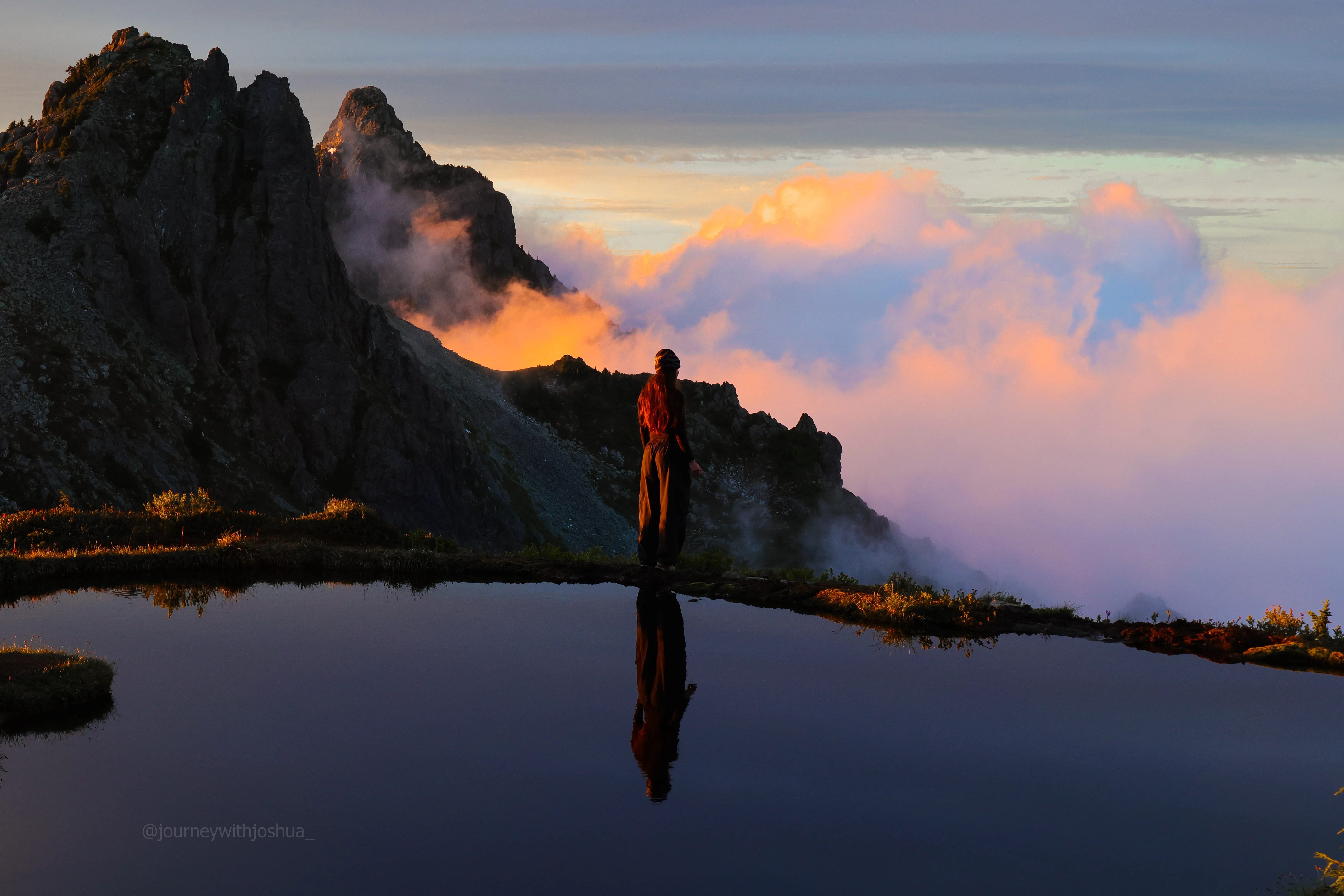
Haley mirrored in the tarn, Wing and Merchant catching the morning light.
My own route up
As the colors began to fade a touch, we needed to wait a bit for the sun to give us some more light. I figured now was the time, “so shall we go summit the famous neighbor!?” The answer was a soft rejection, but they were happy to wait on me while I go scramble around. “Alllllllrighty then!” off I went. I double-checked with Haley. “This is the famous neighbor up ahead here, right?” She checked her map quickly and confirmed. They had been here a few times, so I opted to be lazy rather than do my own navigation due diligence. I meandered through the alpine meadows and up onto the smooth granite rock. Holy cow, I love little moments like these. It was beautiful out. Morning glow, bustling alpine meadows, good rock, and a summit in sight. It doesn’t get better than this, people. I had done my research on the summit approach for the famous neighbor, but I thought I eyed a better route. Maybe Smoot didn’t really know everything about these peaks. I traversed the steep upper section around the back and saw a cruiser little dirt gully. I climbed right up and popped out on the summit. Sick.
I was happy to mark the occasion with a peak (my 69th, if anyone is tracking). And it was super chill. I had read quite a bit about how the famous neighbor was sort of an exposed doozy in sections, and I thought I had my work cut out for me. I had even found my own route! I must be getting good at this climbing stuff. Anyway, the higher point of view of the inversion was incredible. I snapped a bunch of pics. Although the light wasn’t as good, the morning glow still gave some beautiful scenery. I spent a touch more time than I needed to up here, but I really wanted to take it in. Stella would have loved this one!
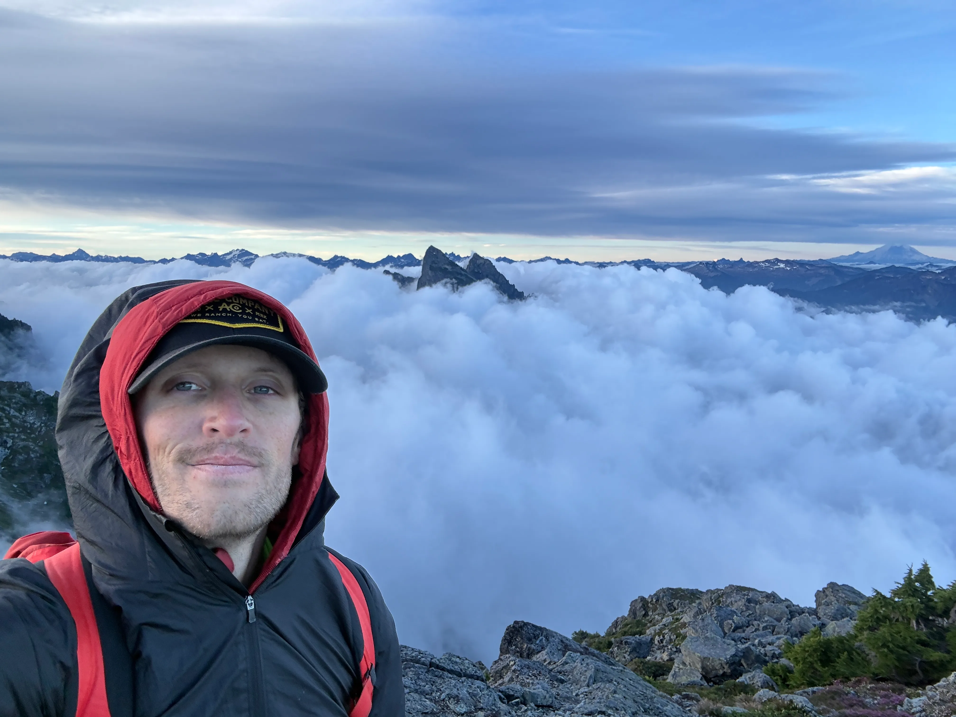
Summit selfie up top, Baring floating in the clouds behind. Not the peak I thought I was on, but I’ll take it.
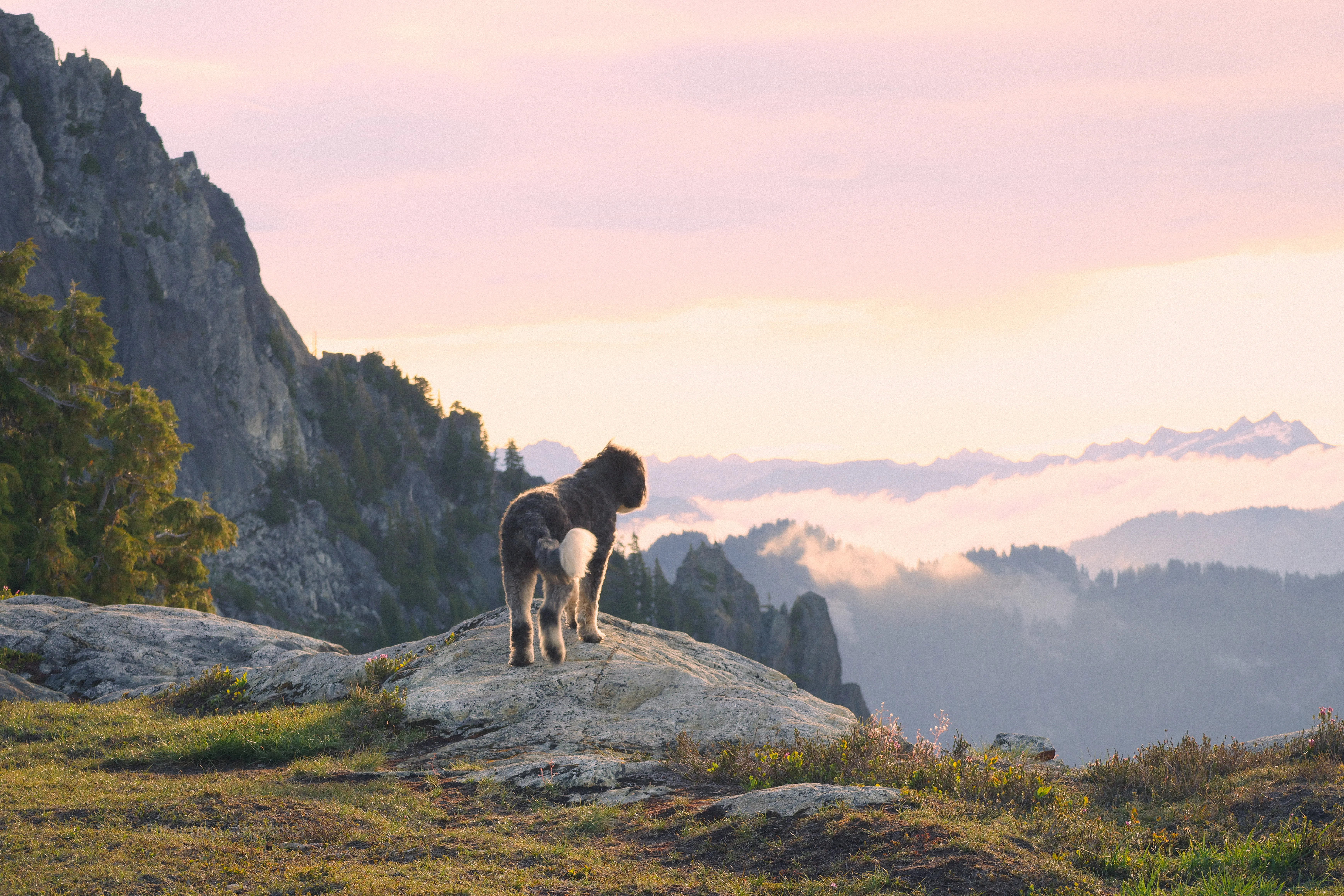
Izzy gained consciousness for a brief moment to ask why she was at the top of a mountain, then promptly checked back out.
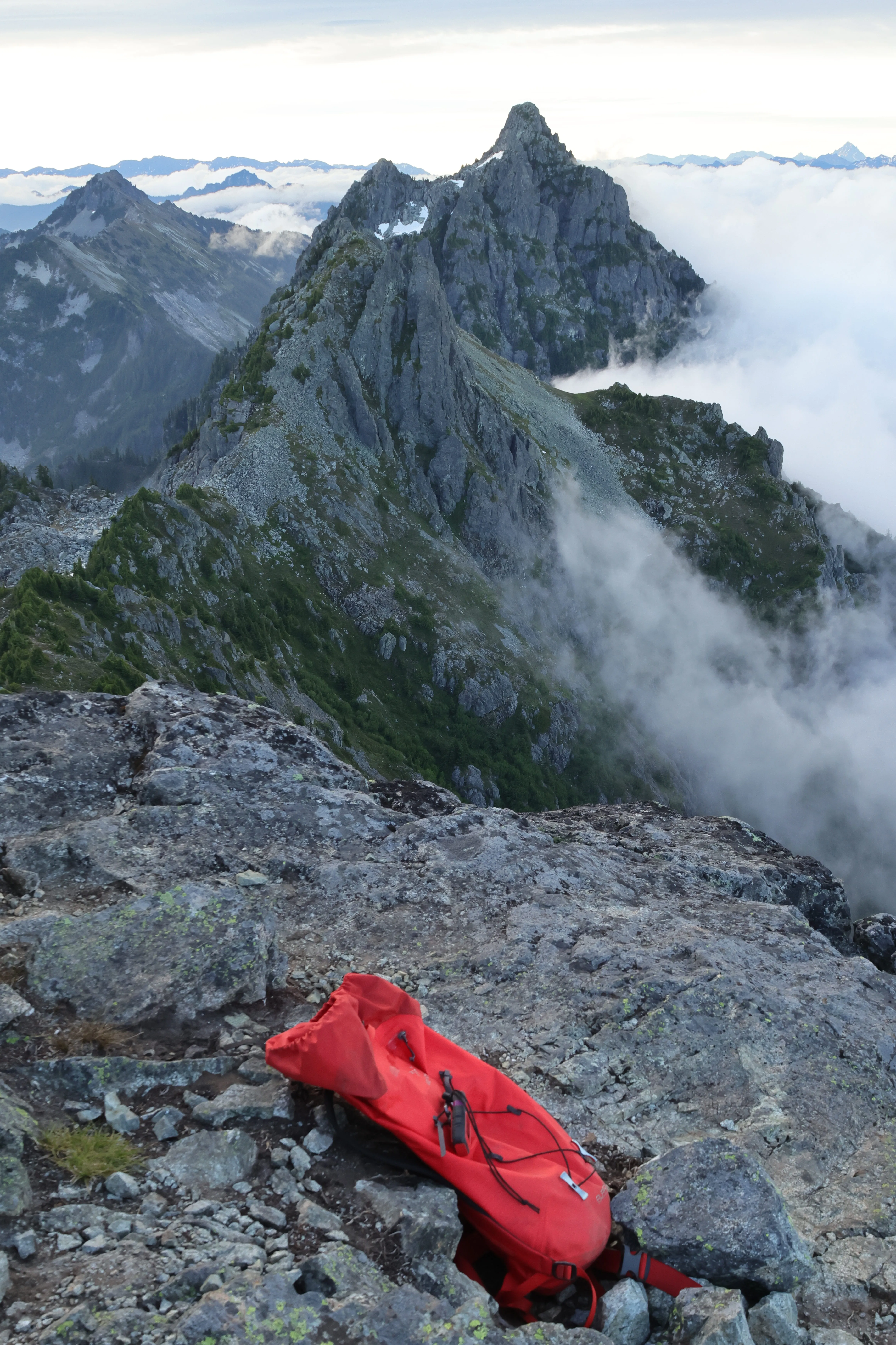
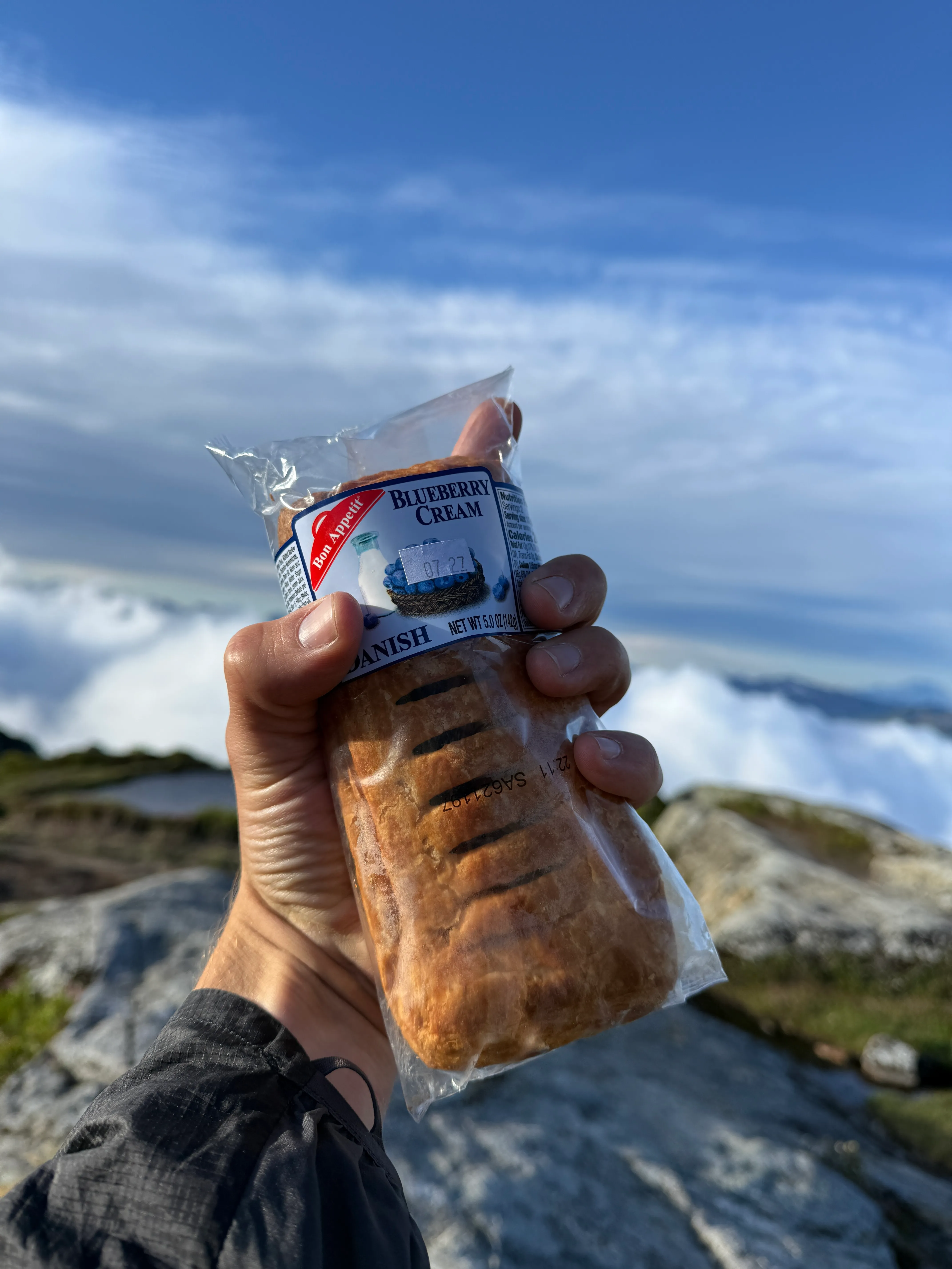
Elite summit danish, and packs down to soak in the views.
I descended and met back up with my friends. “Wow that seemed pretty easy, I thought it was supposed to be a pretty tough one? I also noticed Baring Mountain is really popping now, did you get some good pictures?” “Did you notice anything else?!” Haley asked me with a concerned look. Oh no.
“What?” I asked. “I accidentally sent you to the wrong peak. I’m sorry!” She didn’t really have a reason to be sorry. 9/10 times I would check my own map in any navigation situation, and I chose not to. It was kind of hilarious, all the previous thoughts now connecting in my head to make way more sense. That’s definitely on me.
I didn’t really care. I bagged a named peak to mark the occasion, and now I had another reason to come up here again and climb what I know will be a fun scramble in the future. I have a feeling it will live up to the hype more than Tailgunner did. And as a group we got so many amazing pictures. It was really a joyful morning. I love days like that.
One note I made was the bright red alpine glow of Rainier off in the distance. Tomorrow I will climb Lundin with Rainier much closer. And then, two days later, I will be on “the mountain” itself, beginning my team’s ascent. The mountain was swallowed up by large, fast-moving clouds early in the morning. What were we in for!?
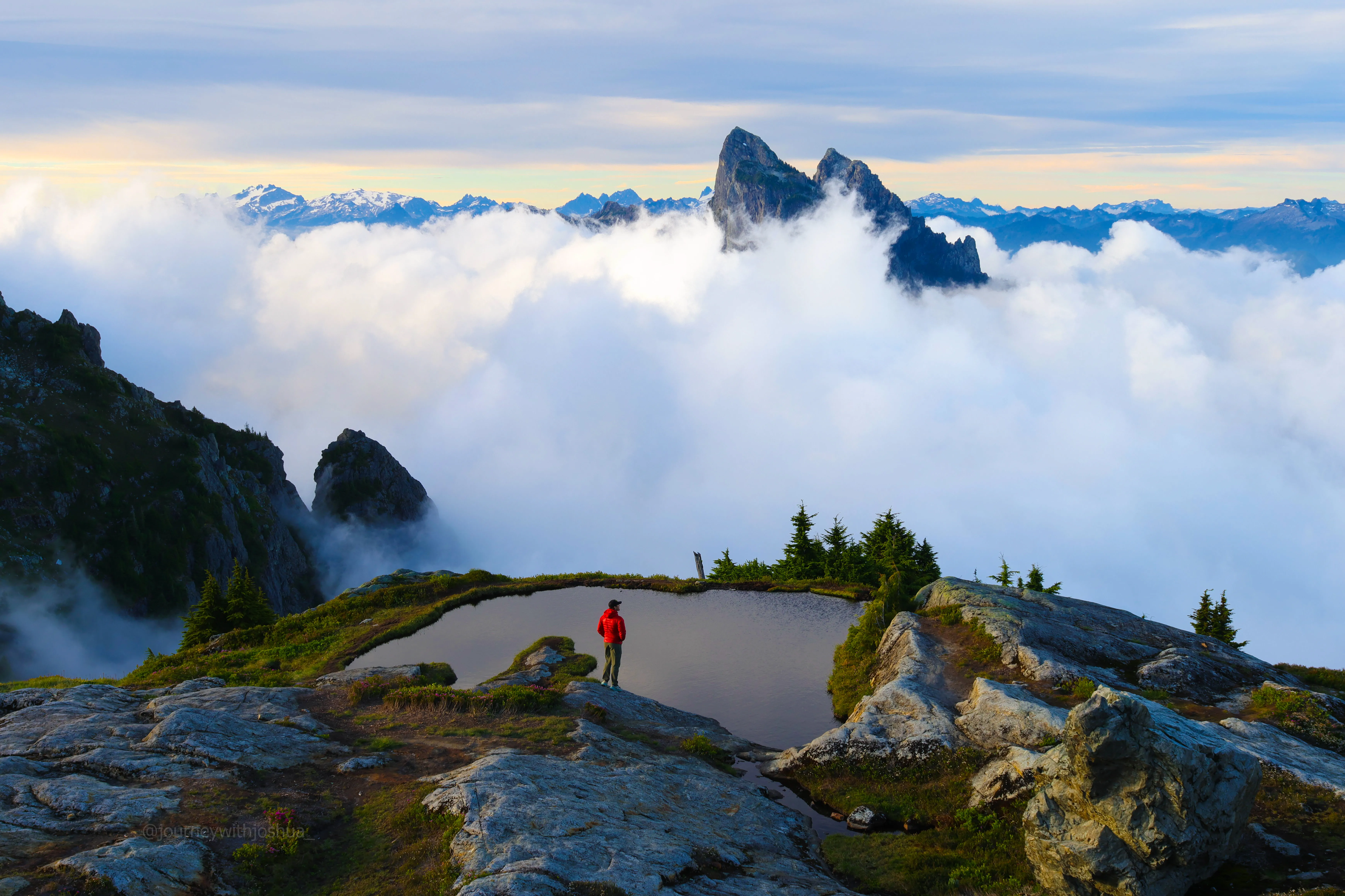
Back with the team at the tarn, Baring getting swallowed by the inversion behind me.
The descent
We all had some snacks, water, and wrapped up the morning. Our descent was uneventful and smooth. It’s quite a steep one, so we all took a mudslide or two. Mind your step on the exposed sections!
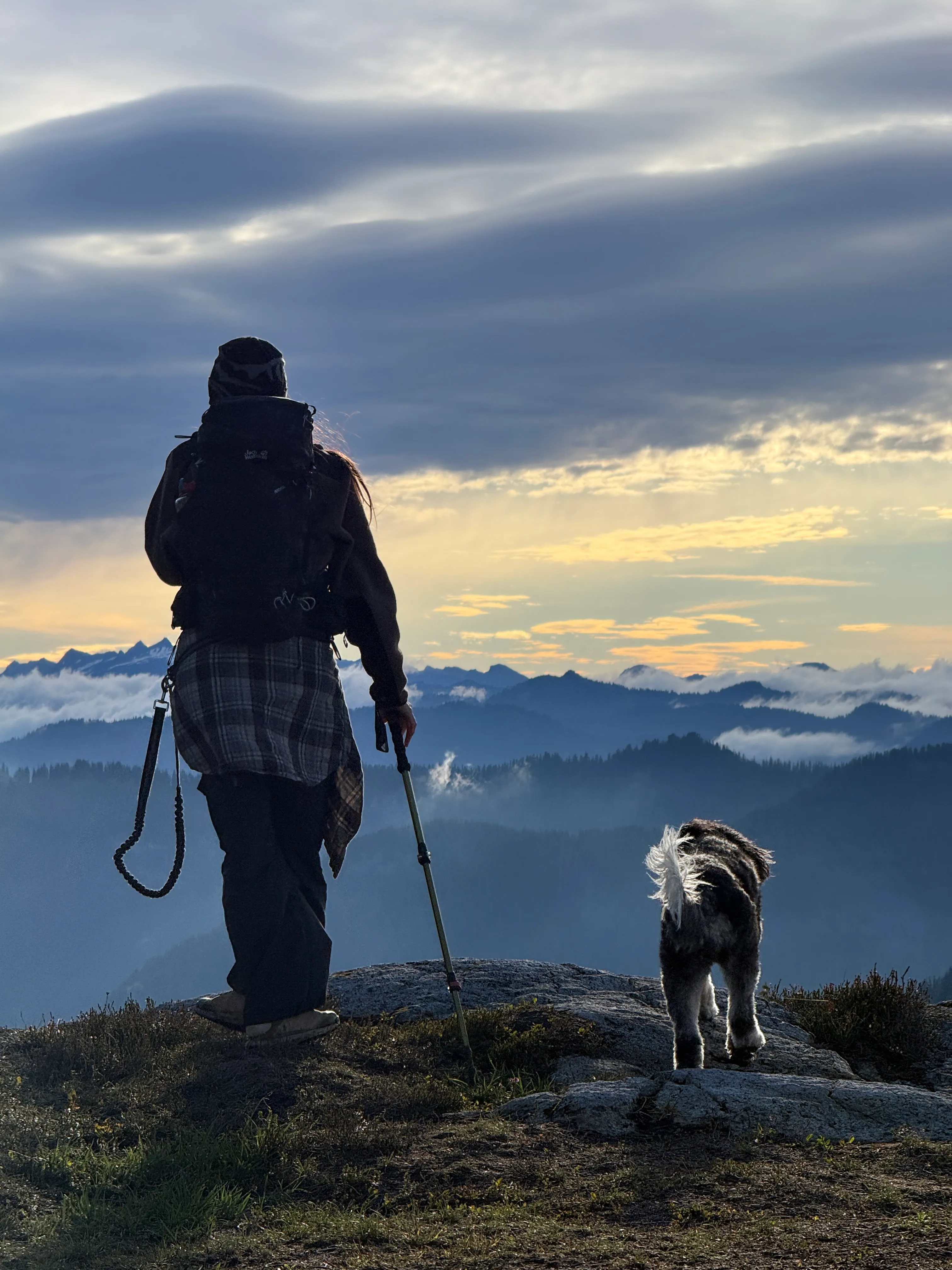
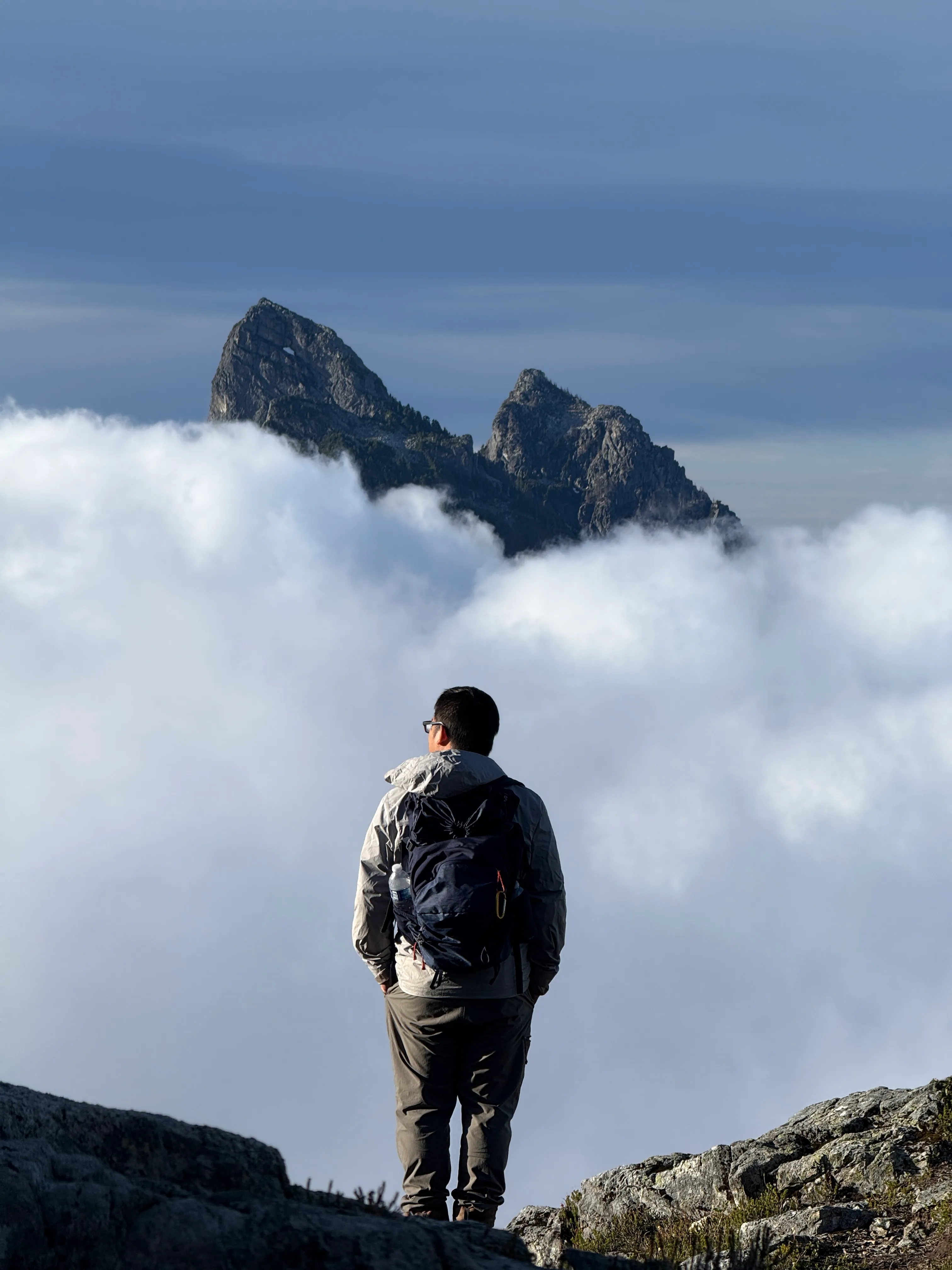
Haley, Izzy, and Tony dropping back down into the inversion.
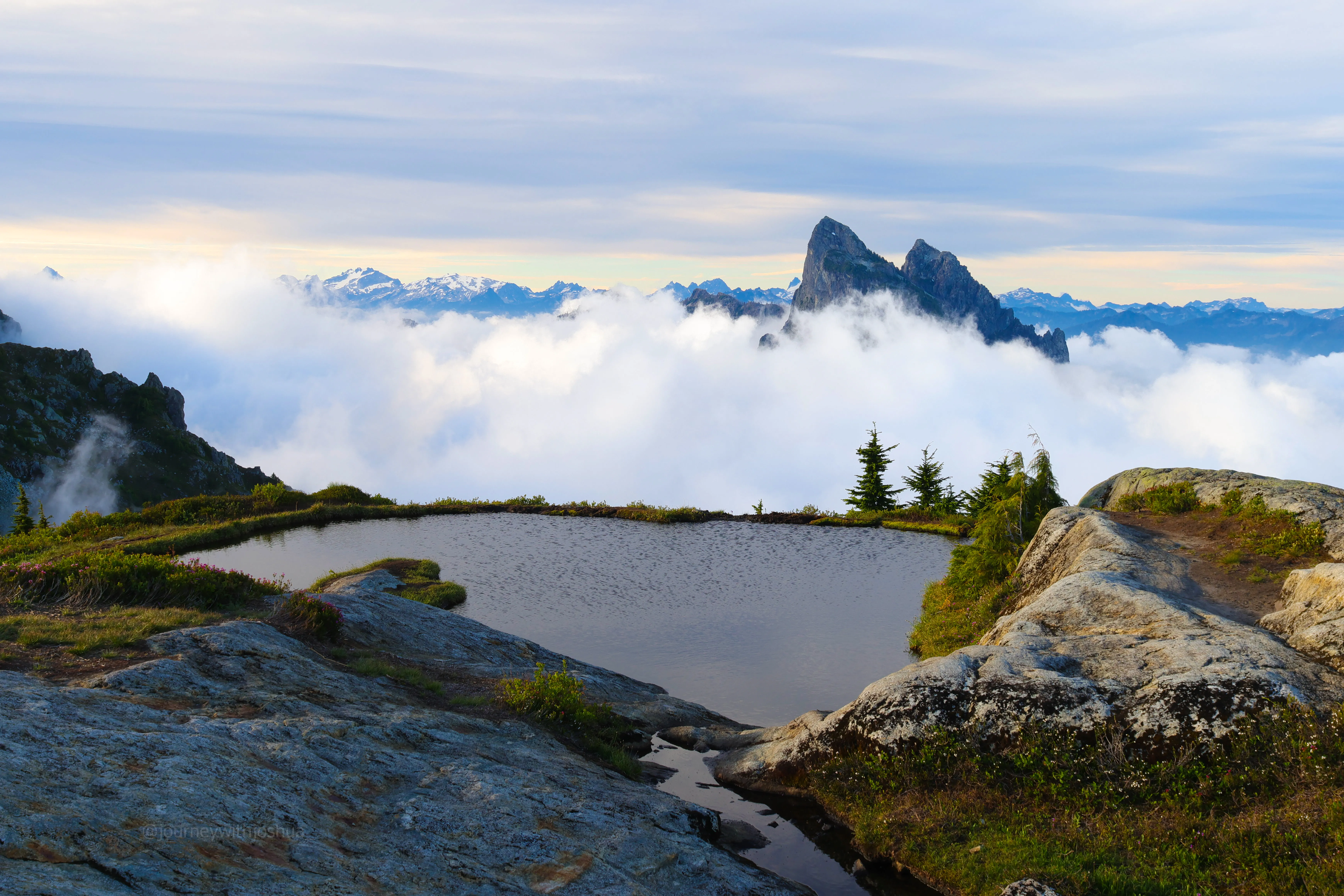
One last look at the tarn and Baring before dropping in.
Onward
It was a really fun day out with two cool people. These memories of the great outdoors will last a lifetime, and are why I keep chasing the mountains, sunsets, sunrises, and incredible views. It just really never gets old when you find something that makes you feel so free. Exploring the world and understanding our place here is a big part of the whole reason we are here. I drove back to Seattle to make my way over to the gym where I immediately crashed on the couch for a few hours. The next climb was less than 12 hours away. Time to repack, rehydrate, refuel, and get after it again! Off to Alpental.
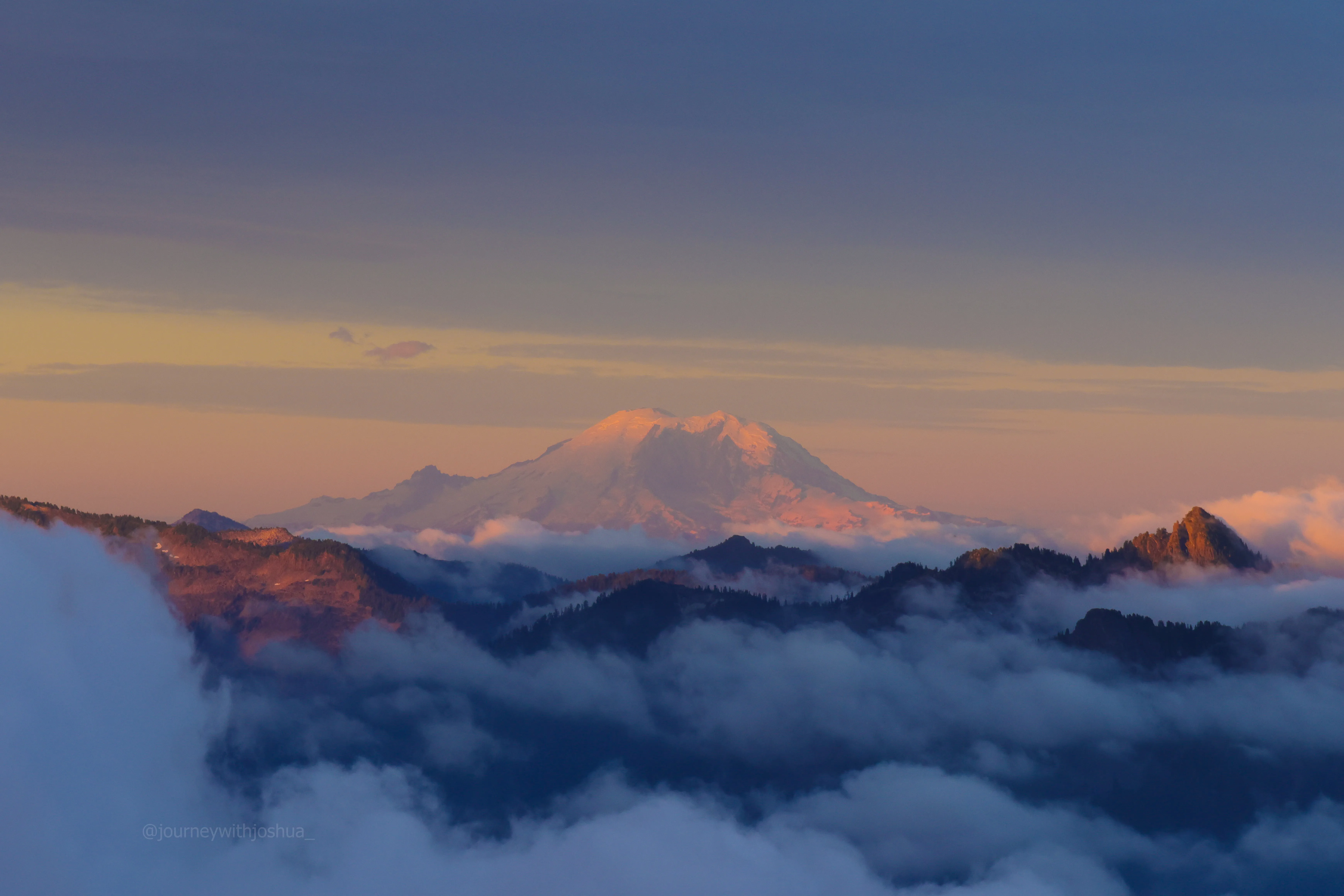
A preview of what was to come. Rainier glowing in the distance, waiting for us.
Onward.
Follow me @journeywithjoshua_ on Instagram for all my adventures.