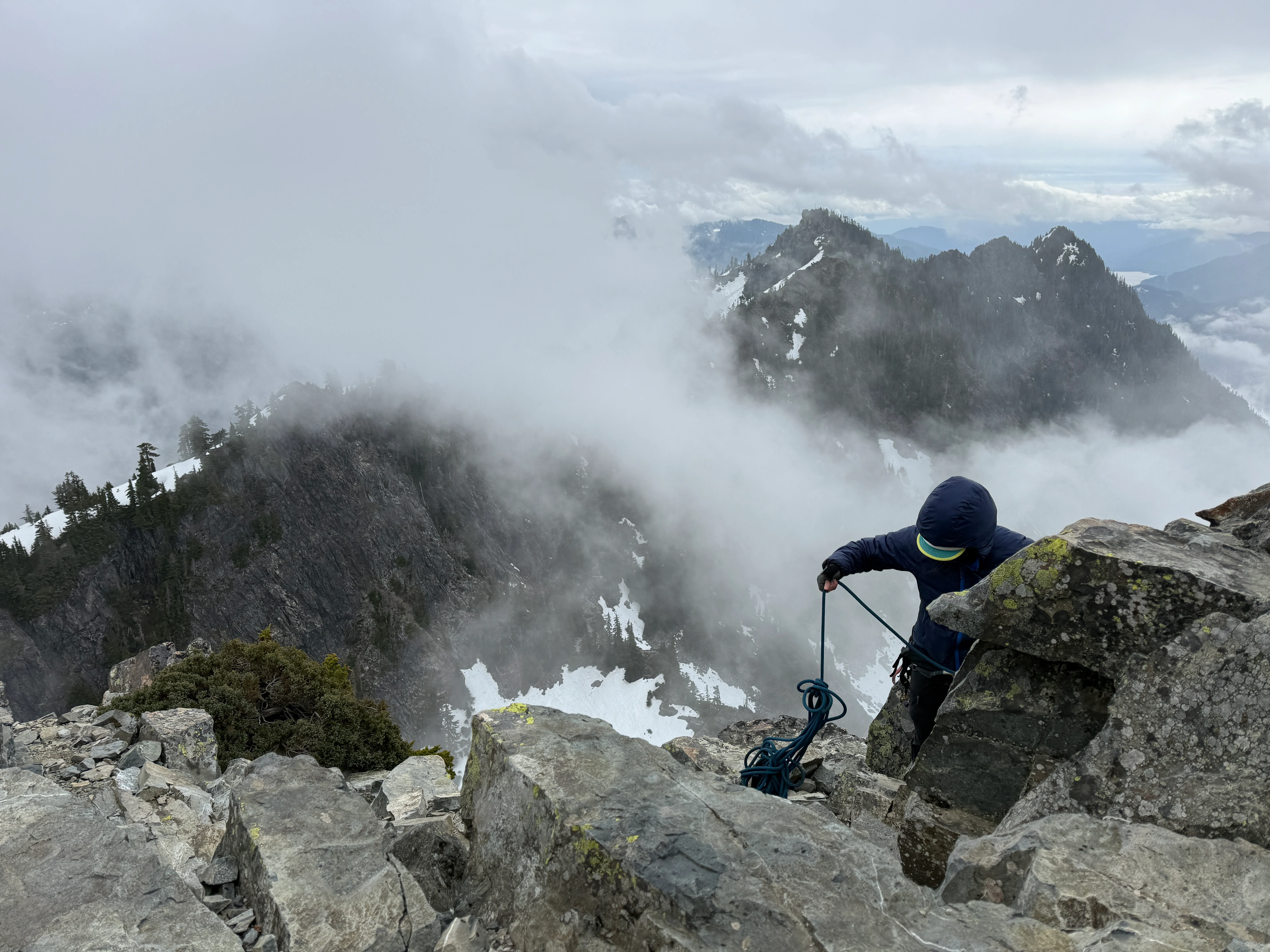
May 10, 2026 · Snoqualmie Pass, Washington
The Tooth: South Face via the Snow Lake Trail
A foggy, classic South Face rock climb of The Tooth above Snoqualmie Pass, reached over Pineapple Pass. A KT SIG graduation day.
- Distance
- 7.5 mi
- Elev. Gain
- 2,825 ft
- Time
- 8 hr
- Coords
- 47.4380° N, 121.4140° W
GPS track for route beta. Conditions change constantly, so verify your route and navigate at your own risk.
A Snoqualmie Pass classic, and the graduation rock climb for our KT SIG. We got The Tooth in full Pacific Northwest character: rolling fog, a heavy overcast ceiling, and a few spits of snow and rain up top. Four pitches on the South Face, a snowy off-trail approach over Pineapple Pass, and the kind of day where the open bathrooms back at the trailhead nearly stole the show.
May 10, 2026
Beta
- Route: South Face of The Tooth, four pitches with the crux on P4, reached over Pineapple Pass off the Alpental side of Snoqualmie Pass. Off-trail approach branching from the Snow Lake Trail.
- Passes: A National Park pass or Northwest Forest pass is required as of 5/10/2026. The Alpental lot was open and easy to park in.
- Road: Suitable for all vehicles.
- Snow on the trail: Just a few short ribbons on the Snow Lake Trail, each only 20 to 30 feet, melting out fast. Almost snow free before the turnoff into the talus.
- Approach snow: Soft and mushy with lots of post-holing. Leave the crampons at home.
- Ice axe: Bring it. A steep snow finger creeps up into Pineapple Pass. No real moat yet, but it’s starting.
- Creek crossing: Exposed both ways. I scouted a snowbridge option on the way out, but it’s exposed too and there’s no telling how long it lasts.
- Distance: About 7.5 miles round trip.
- Bathrooms: The Snow Lake trailhead bathrooms officially opened the day we climbed. Honestly a top trip moment.
The Approach
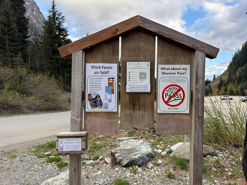
The pass kiosk at the trailhead. Park pass or Northwest Forest pass required as of 5/10/2026
I arrived the night before at Alpental. The lot was clear of any snow and easy to park in. A National Park pass or Northwest Forest pass is required as of 5/10/2026. And the headline news: the bathrooms at the Snow Lake trailhead were open when we got back that evening. An unforgettable feeling.
The yuge fallen tree about 0.75 miles in. Easy peasy
The Snow Lake Trail has a yuge fallen tree about 0.75 miles in. Easy peasy to get around. The first little ribbon of snow shows up around 1.0 mile, and there are a few more, each only 20 to 30 feet long. Nothing to write home about, and melting fast.
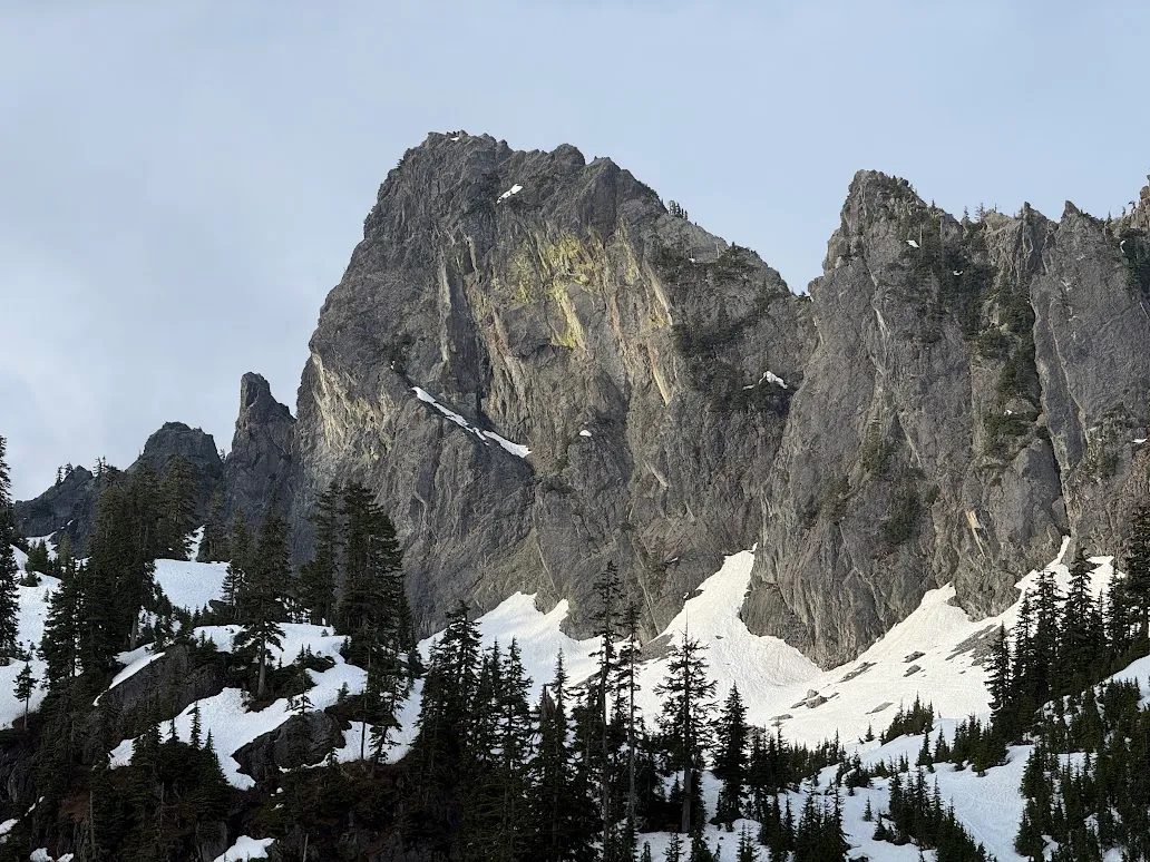
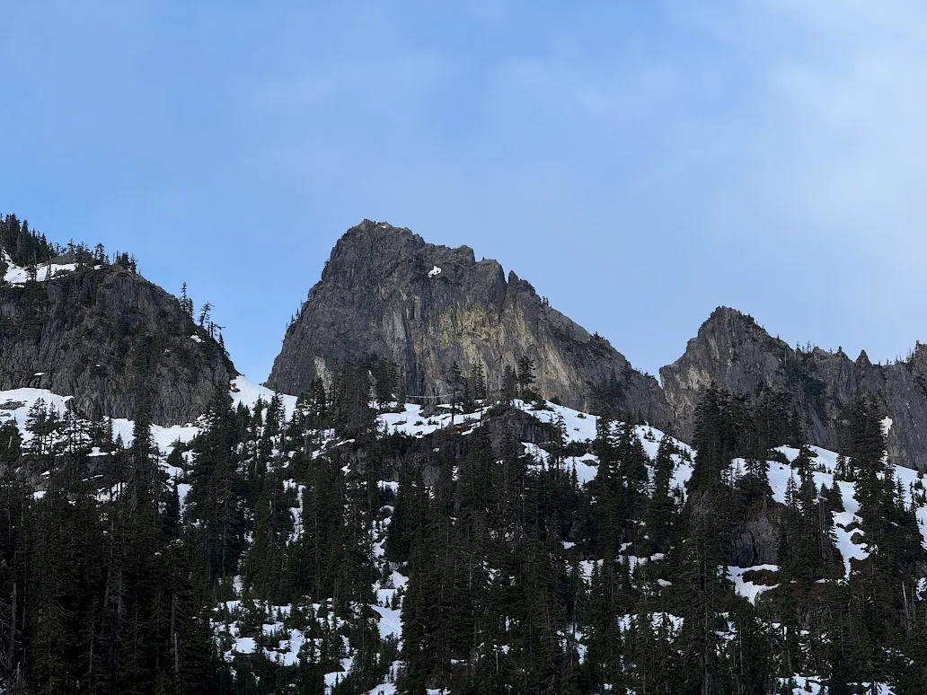
Das Toof. First look at The Tooth around the 1.35 mile mark
The Tooth itself comes into view from the Snow Lake Trail around the 1.35 mile mark. Das Toof.
We left the Snow Lake Trail around the 2 mile mark and started the off-trail approach through the talus fields and trees toward the gully and Pineapple Pass. The snow was soft and post-holing was a constant. Leave the crampons home. We stayed pretty high on the way in and dropped into the gully with a short descent.
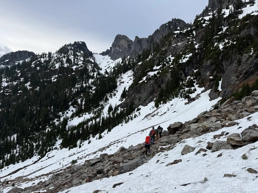
Off the Snow Lake Trail and into the talus toward the gully
The creek crossing was exposed on the way in and on the way out. On the return I scouted another line using snowbridges over the creek, but it’s quite exposed and there’s no telling how long it holds. Pineapple Pass has no noticeable moat yet, though there’s a steep snow finger creeping up into it. Highly recommend bringing your ice axe.
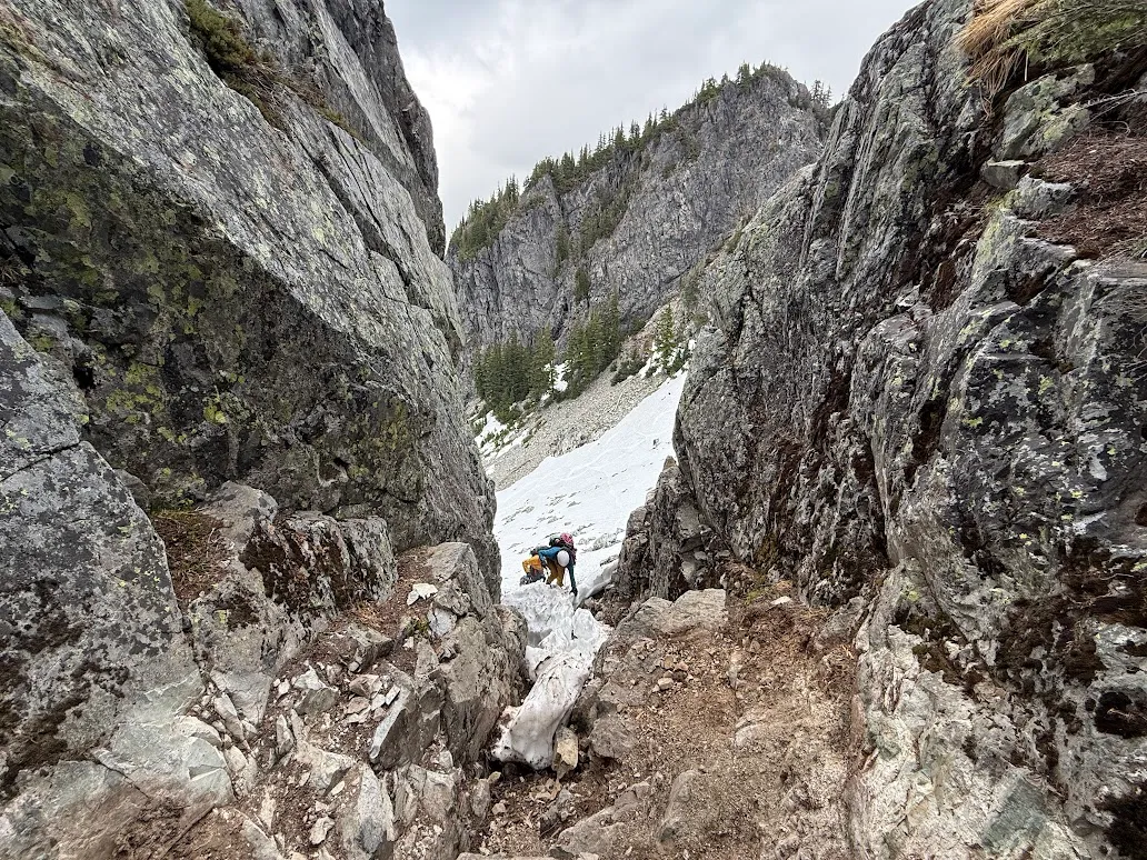
The snow finger creeping up into Pineapple Pass. Bring the ice axe
The Climb
We wrapped around the back of Pineapple Peak and scrambled up to the notch where the climbing starts. We were a little slow on P1, then found our groove for the rest of the route. I also very generously donated my 0.3 cam to the first pitch as a permanent installment. I was well overdue for one of those. Enjoy.
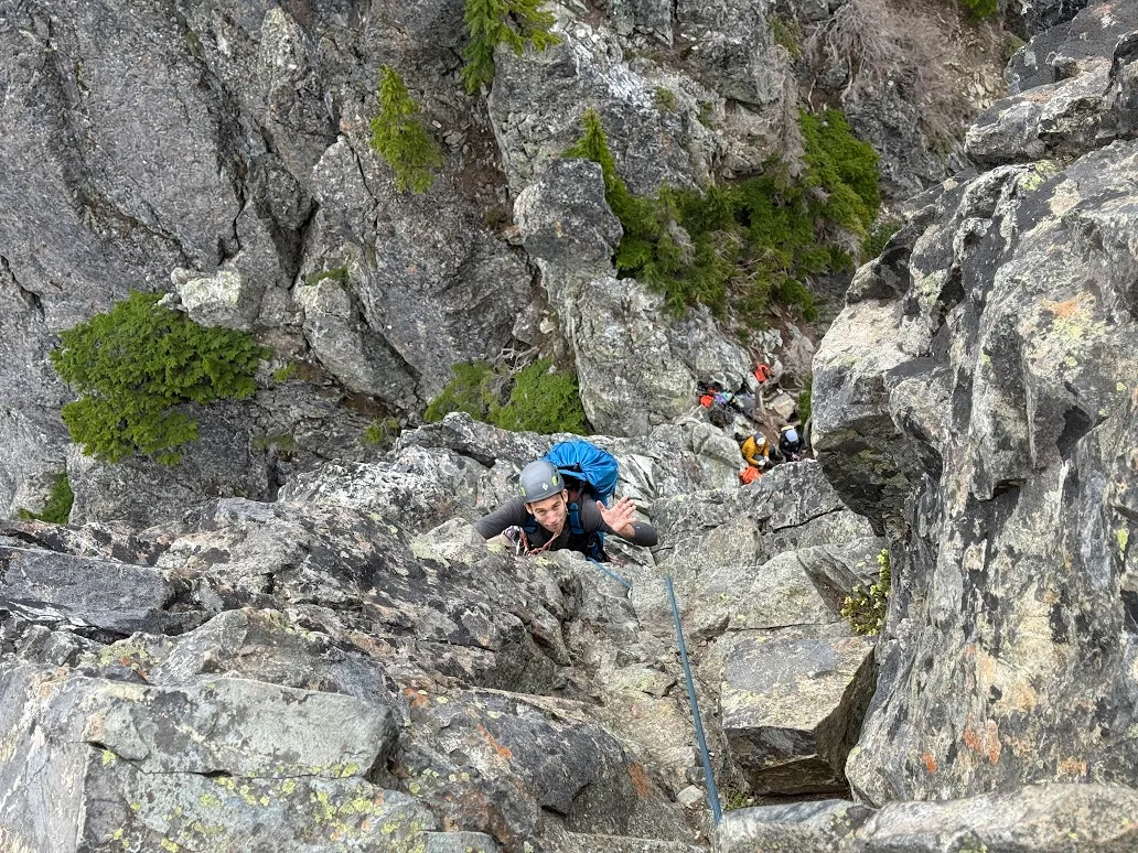
Pete cruising up P1
There were three separate groups on The Tooth that day (Mountaineers, WAC, and a private party), and everyone worked together well. Karl’s trip report covered the other groups’ ascent and descent in detail. The climbing is four pitches, with the crux on P4. Two leaders took the right-hand option and one took the 5.8 up the middle. No takers on the catwalk. Meowzas.
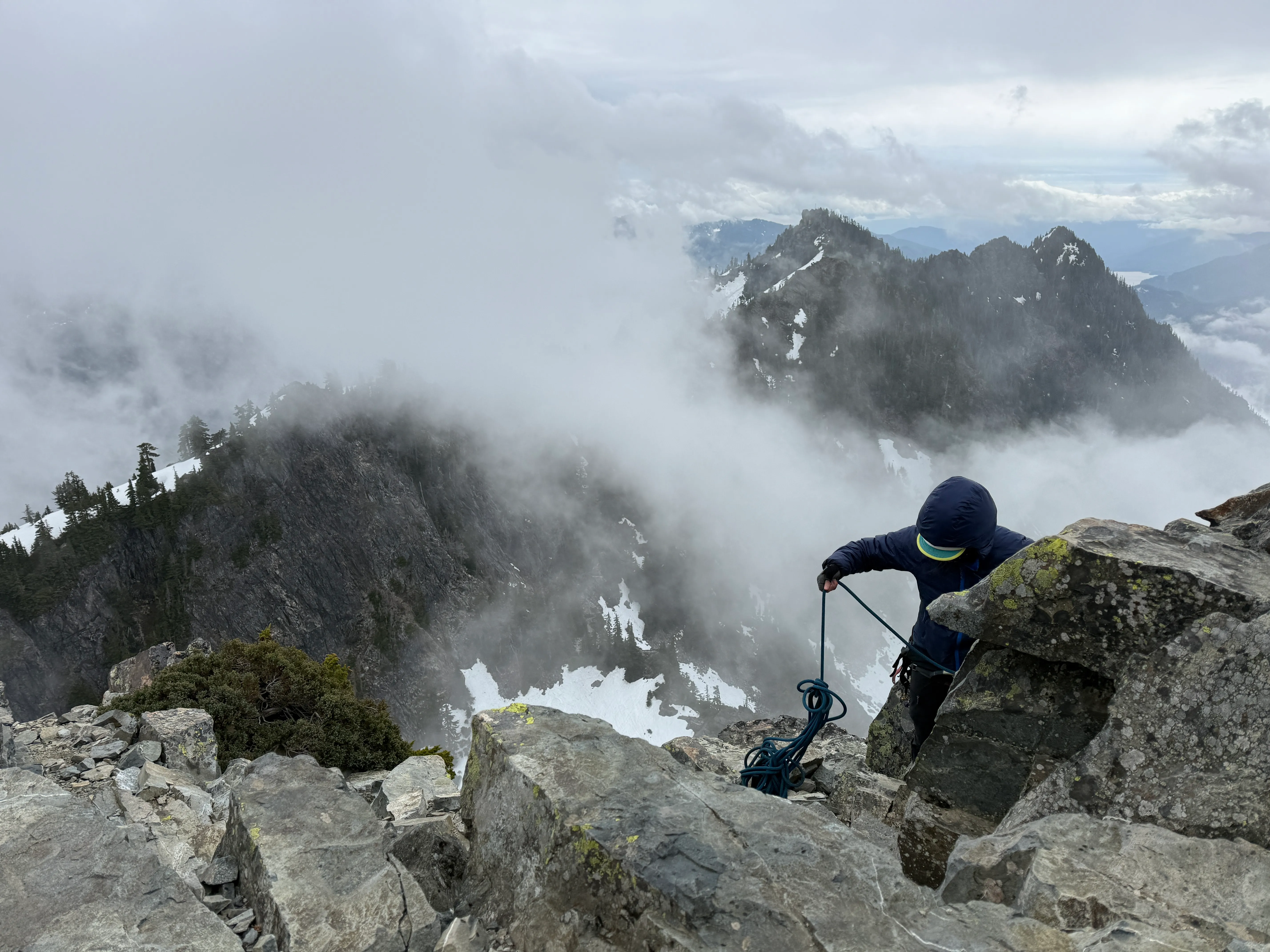
The Tooth in full Pacific Northwest character on summit day
The Descent
We down-climbed the same way we came, back behind and over to Pineapple Pass, rather than the tempting rappel down the gully. That gully looked like a bad time, and historically it is a bad time. On the way down, the other group even left a rope on P1 for us to rap. Exquisite.
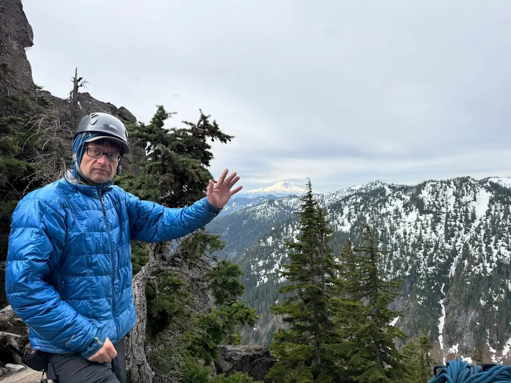
Karl finishing up our rappel conga
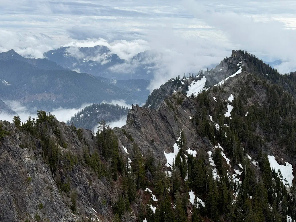
Classic PNW murk rolling through the peaks
We got classic Pacific Northwest conditions the whole day: heavy rolling fog through the mountains, a solid overcast ceiling, and a few spatterings of snow and rain at the summit.
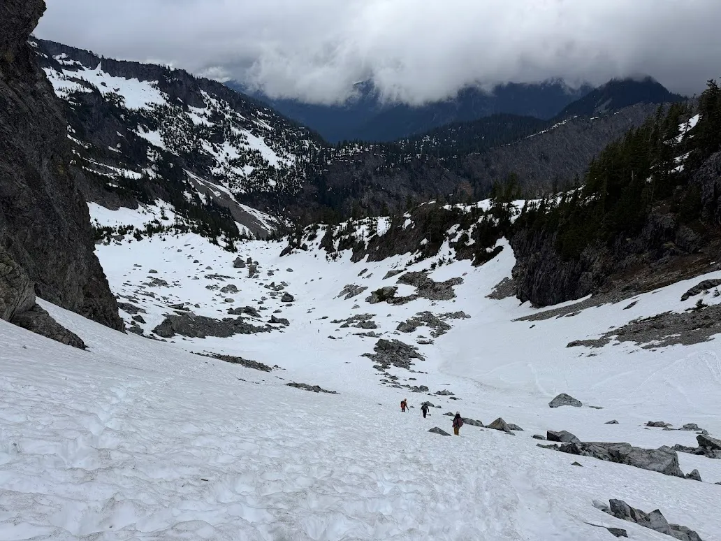
The quick walk back out
All the students showed great preparedness and control on the wall. We had very limited to almost no shenanigans, which for a big group is a win. A great day out and a great graduation rock climb for the KT SIG. Onward.
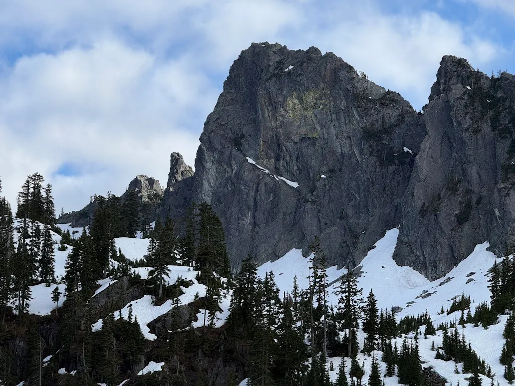
A final look at the 5/10/2026 conditions
Conditions and Route Reference
- Peak: The Tooth, Snoqualmie Pass, Washington.
- Route: South Face, four pitches, crux on P4, via Pineapple Pass.
- Approach: Off the Snow Lake Trail from the Alpental lot, then off-trail through talus to the gully and Pineapple Pass.
- Distance: about 7.5 miles round trip.
- Passes: National Park or Northwest Forest pass required (as of 5/10/2026).
- Conditions (May 2026): Short, fast-melting snow ribbons on the trail. Soft, post-holey snow on the approach, no crampons needed. Steep snow finger into Pineapple Pass, ice axe recommended. Exposed creek crossing. Foggy and overcast with a little snow and rain up high.
Questions? Find me on Instagram @journeywithjoshua_ if you’re feeling brave.